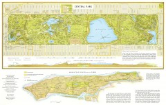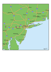
Upper West Side Map
printable map of Upper West Side, with major landmarks noted
238 miles away
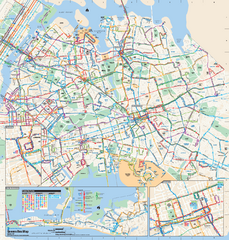
Queens, New York Bus Map
Official MTA Bus Map of Queens, NY. Shows all routes.
238 miles away

The Metropolitan Museum of Art Floor Plan Map
Official Floor Plan for the Metropoltan Museum of Art in New York City. All areas and exhibits...
238 miles away
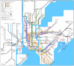
New York Subway Map
The subway and nearby railways in New York City
238 miles away

Floor Plan of the Museum of Natural History, New...
Official Floor Plan of the Museum of Natural History in New York. All areas and exhibits shown.
238 miles away

Manhattan Bus Map
238 miles away
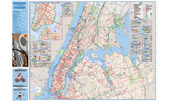
NYC Biking Route Map (Manhattan & Queens)
Official NYC biking map of Manhattan and Queens.
238 miles away

Topographical Atlas of the City of New York Map
Topographical Atlas of the City of New York including the annexed territory, showing original water...
238 miles away
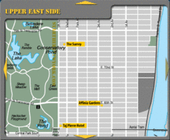
Upper East Side New York Hotel Map
239 miles away
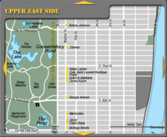
Maison Ave New York City Shopping Map
239 miles away
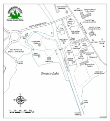
Emerson Park Map
239 miles away
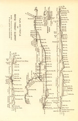
1904 New York City Subway Map
The New York City Subway Map in 1904
239 miles away
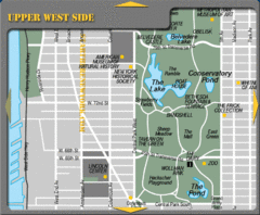
Upper West Side New York Tourist Map
239 miles away
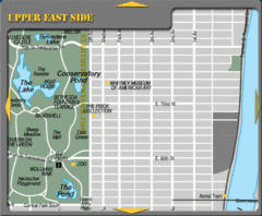
Upper East Side New York Tourist Map
239 miles away
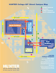
Hunter College Campus Map
Hunter College Campus Map. Located in New York City. Shows all areas.
239 miles away

Central Park, New York City Bike Map
239 miles away
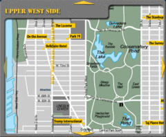
Upper West Side New York Hotel Map
239 miles away
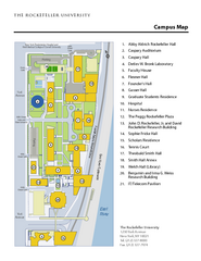
Rockefeller University Campus Map
Campus map of Rockefeller University in New York City.
239 miles away
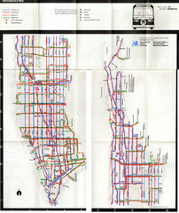
1974 Manhattan Bus Map
239 miles away
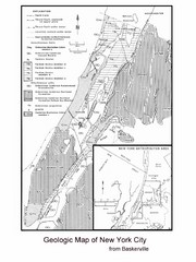
New York City Geological Map
Bedrock map of New York City
239 miles away
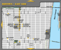
Midtown East Side New York City Map
239 miles away

Arnprior Downtown Map
Arnprior, Ontario, Canada
240 miles away

Midtown East Side New York City Hotel Map
240 miles away
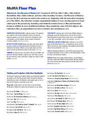
Floor Map of the Museum of Modern Art, New York
Official Floor Map of the MOMA in New York, NY. All floors and exhibits shown.
240 miles away
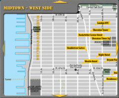
Midtown West Side New York City Hotel Map
240 miles away
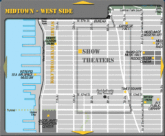
Midtown West Side New York City Map
240 miles away
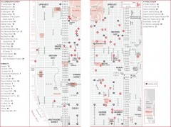
Midtown Manhattan, New York Map
Tourist map of midtown Manhattan in New York City, New York. Shows accommodations, restaurants, and...
240 miles away
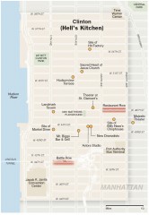
Hells Kitchen tourist map
Detailed tourist map of the Hells Kitchen neighborhood of Manhattan, New York
240 miles away
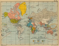
Colonial Posessions and Commercial Highways 1910...
Historical world map (1910) of various colonization and highway expansion
240 miles away
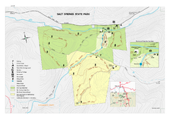
Salt Springs State Park map
Detailed recreation map of Salt Spring State Park in Pennsylvania.
240 miles away
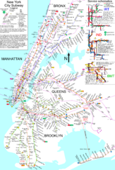
NYC Subway Map (unofficial)
Unofficial subway map of New York City. Created by SPUI.
240 miles away
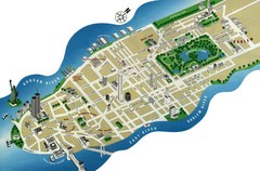
Manhattan Tourist Map
Simplified tourist map of Manhattan. Shows major NYC landmarks.
240 miles away
New York City Tourist Map
240 miles away

New York City Map
240 miles away
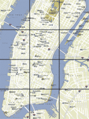
New York City, New York City Map
240 miles away
New York City Subway History Map
240 miles away
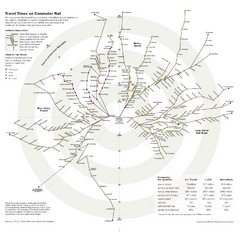
Travel Times on Commuter Trains in New York City...
Travel Times on Commuter Trains in the Greater New York Area
240 miles away
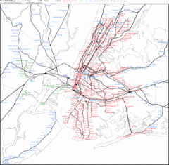
New York Railways Scale Map
240 miles away

