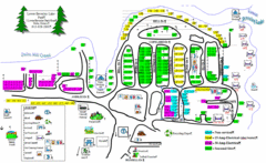
Lower Beverely Park Map
211 miles away

Rideau Hall Tour Bus Lay-By Map
211 miles away

Rideau Hall Tour Bus Parking Map
211 miles away
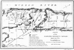
Harlem Hieghts Affair Map
Topography of the field during the battle on Sept 16 1776
211 miles away

Urban Neighborhood Map: Long Island Map
This Urban Neighborhood Poster of Long Island is a modern twist on traditional maps. The typography...
212 miles away
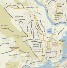
Hull, Quebec Tourist Map
213 miles away
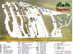
Toggenburg Ski Center Ski Trail Map
Trail map from Toggenburg Ski Center.
213 miles away
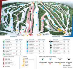
Le Relais Ski Trail Map
Trail map from Le Relais, which provides downhill skiing. This ski area has its own website.
213 miles away
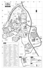
Stony Brook University Map
214 miles away
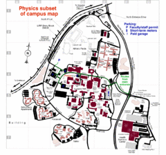
University of New York at Stony Brook Campus Map
215 miles away
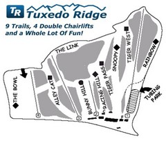
Tuxedo Ridge Ski Trail Map
Trail map from Tuxedo Ridge.
216 miles away
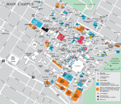
Syracuse University Campus Map
Map of the Syracuse University Campus. Includes buildings, parking, streets, and location of the...
216 miles away
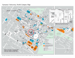
Syracuse University, North Campus Map
Campus map of Syracuse University, North Campus. Maxwell School of Executive Education is...
216 miles away

Syracuse University Map
Syracuse University Campus Map. All buildings shown.
217 miles away
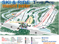
Mt. Peter Ski Area Ski Trail Map
Trail map from Mt. Peter Ski Area.
218 miles away
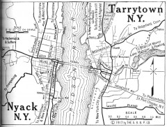
Antique map of Nyack and Tarrytown from 1917
Map of Nyack and Tarrytown, NY from Automobile Blue Book, 1917, Vol. 3
218 miles away
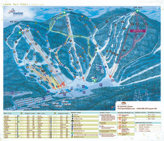
Stoneham Ski Resort Ski Trail Map
Trail map from Stoneham Ski Resort, which provides downhill skiing. This ski area has its own...
218 miles away
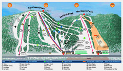
Labrador Mountain Ski Trail Map
Trail map from Labrador Mountain.
219 miles away
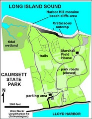
Caumsett State Park Map
Park map of Caumsett State Park on Long Island Sound, New York
219 miles away
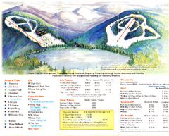
Mount Tone Ski Trail Map
Trail map from Mount Tone.
219 miles away
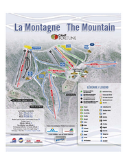
Camp Fortune Ski Trail Map
Trail map from Camp Fortune, which provides downhill skiing. This ski area has its own website.
220 miles away
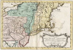
1773 New England Map
French map of New England
222 miles away
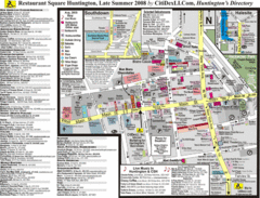
Huntington, New York Restaurant Map
222 miles away
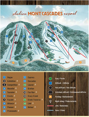
Mont Cascades Ski Trail Map
Trail map from Mont Cascades, which provides downhill skiing. This ski area has its own website.
223 miles away

Song Mountain Ski Trail Map
Trail map from Song Mountain.
224 miles away
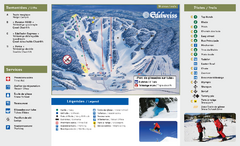
Edelweiss Valley Ski Trail Map
Trail map from Edelweiss Valley, which provides downhill skiing. This ski area has its own website.
225 miles away
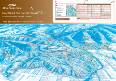
Mont-Sainte-Anne Nordic Ski Trail Map
Trail map from Mont-Sainte-Anne, which provides downhill and nordic skiing. This ski area has its...
226 miles away
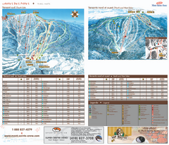
Mont-Sainte-Anne Ski Trail Map
Trail map from Mont-Sainte-Anne, which provides downhill and nordic skiing. This ski area has its...
226 miles away

Hidden Valley Ski Trail Map
Trail map from Hidden Valley.
226 miles away

Mountain Creek South Ski Trail Map
Trail map from Mountain Creek.
227 miles away
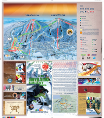
Mountain Creek North Ski Trail Map
Trail map from Mountain Creek.
227 miles away
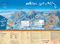
Mountain Creek Ski Trail Map
Official ski trail map of Mountain Creek ski area from the 2007-2008 season. (formerly Vernon...
228 miles away
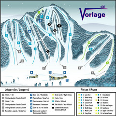
Ski Vorlage Ski Trail Map
Trail map from Ski Vorlage, which provides downhill skiing. This ski area has its own website.
228 miles away

Ski Big Bear Ski Trail Map
Trail map from Ski Big Bear.
228 miles away
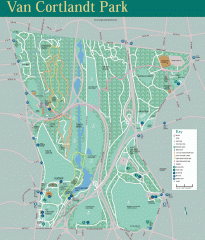
Van Cortlandt Park Trail Map
Trail map of Van Cortlandt Park in the Bronx. Covers 573 acres.
229 miles away
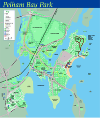
Pelham Bay Park NYC Map
Official detailed map of Pelham bay park, the largest park in New York City at 2,700 acres. Map...
229 miles away

City Island Street Map
Street map of City Island, New York
230 miles away
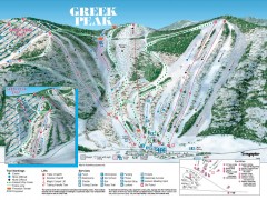
Greek Peak Ski Trail Map
Official ski trail map of Greek Peak ski area from the 2006-2007 season.
230 miles away

Greek Peak Ski Resort Ski Trail Map
Trail map from Greek Peak Ski Resort.
231 miles away

