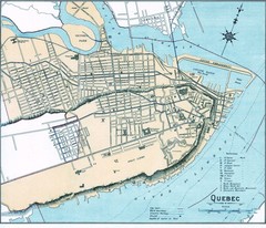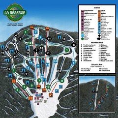
La Resérve Ski Trail Map
Trail map from La Resérve, which provides downhill skiing. This ski area has its own website.
197 miles away
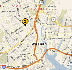
Bridgeport, Connecticut City Map
197 miles away

Eastern Long Island Placemat map
Photo of a placemat map from Gosman's Dock Restaurant in Montauk, NY. Shows eastern Long...
198 miles away
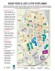
Arena at Harbor Yard Restaurants Map
List of many delicious restaurants and eateries.
198 miles away
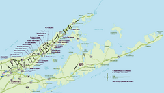
Long Island Wineries Map
Map of LIWC member wineries offering wine tastings to the public.
198 miles away
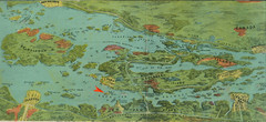
Wellesley Island Illustrated Map
Colorized illustration from "Thousand Islands" viewbook.
200 miles away
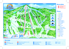
Mont Garceau Ski Trail Map
Trail map from Mont Garceau, which provides downhill and nordic skiing. This ski area has its own...
201 miles away
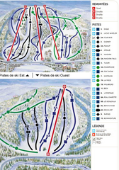
Gray Rocks Ski Trail Map
Trail map from Gray Rocks, which provides downhill skiing. This ski area has its own website.
202 miles away
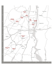
Shawangunk Wine Trail Map
Map of the Shawangunk Wine Trail on the Hudson River in New York. Shows all vineyards and wineries...
202 miles away
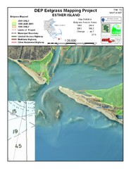
Esther Island Map
DEP Eelgrass map of Esther Island, Nantucket
202 miles away
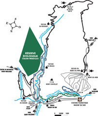
Massif du Sud Nordic Ski Trail Map
Trail map from Massif du Sud, which provides downhill and nordic skiing. This ski area has its own...
202 miles away
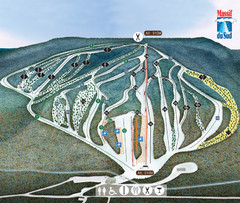
Massif du Sud Ski Trail Map
Trail map from Massif du Sud, which provides downhill and nordic skiing. This ski area has its own...
202 miles away
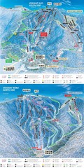
Tremblant Ski Trail Map
Trail map from Tremblant, which provides downhill skiing. This ski area has its own website.
204 miles away
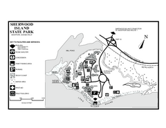
Sherwood Island State Park map
Trail and campground map of Sherwood Island State Park in Connecticut.
204 miles away
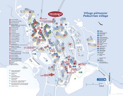
Mont Tremblant Village Map
204 miles away
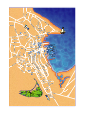
Nantucket Town Street Map
Tourist map of town of Nantucket on Nantucket Island. Shows major streets and points of interest...
205 miles away
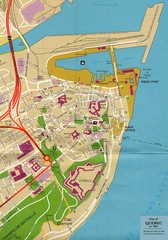
Quebec Canada Tourist Map
Tourist map of Quebec, Canada showing inside town walls, lower town and old port. Tourist sites...
205 miles away
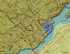
Quebec City Tourist Map
205 miles away
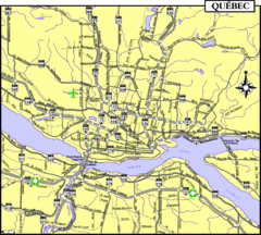
Quebec Tourist Map
205 miles away
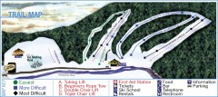
Holiday Mountain Ski Trail Map
Official ski trail map of Holiday Mountain ski area
206 miles away
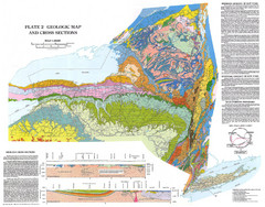
New York State Geologic Map
1:1,000,000 scale geological map of New York State
206 miles away
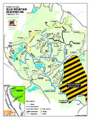
Blue Mountain Reservation Mountain Bike Trail Map
Mountain biking map of the Blue Mountain Reservation from the Westchester Mountain Biking...
206 miles away
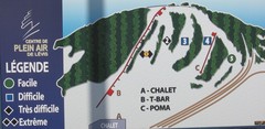
Centre de Plein Air Levis Ski Trail Map
Trail map from Centre de Plein Air Levis.
206 miles away
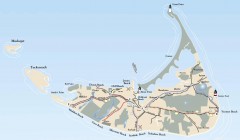
Tourist Map of Nantucket Island
Tourist map of Nantucket Island. Shows all towns and information.
206 miles away
Appalachian National Scenic Trail Map
Scenic trail Maine to Georgia
208 miles away
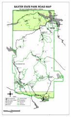
Baxter State Park Road Map
208 miles away
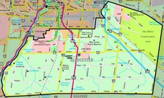
Gloucester Map
Street-map of Gloucester district
208 miles away
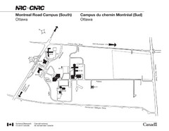
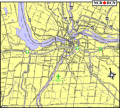
National Research Council Map
Montreal Road Campus visitor map, also in French. Provides location of campus buildings and roads.
208 miles away
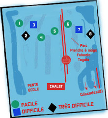
St Raymond Ski Trail Map
Trail map from St Raymond.
209 miles away

New York State Fairgrounds Map
210 miles away
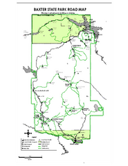
Baxter State Park overview map
Overview map of Baxter State Park. There are 46 mountain peaks and ridges, 18 of which exceed an...
210 miles away
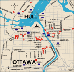
Ottawa Tourist Map
211 miles away
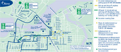
Ottawa Bus Tour Map
211 miles away
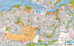
Ottawa, Ontario Tourist Map
211 miles away
Ottawa, Ontario Tourist Map
211 miles away

Ottawa, Ontario Tourist Map
211 miles away
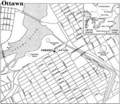
Ottawa, Ontario Tourist Map
211 miles away
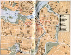
Ottawa Tourist Map
Tourist map of capital city of Ottawa, Canada. Shows tourist points of interest.
211 miles away


