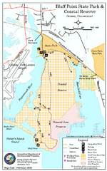
Bluff Point State Park map
Trail map for Bluff Point State Park and Coastal Reserve.
178 miles away
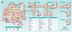
Cape Cod Hospital Map
Campus map of Cape Cod Hospital
178 miles away

Cape Cod Hospital Map
Map of external vicinity of Cape Cod Hospital
178 miles away
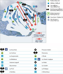
Le Chantecler Ski Trail Map
Trail map from Le Chantecler, which provides downhill skiing. This ski area has its own website.
178 miles away
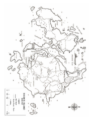
Swan's Island, ME Map
178 miles away
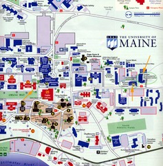
University of Maine Map
Campus map
178 miles away
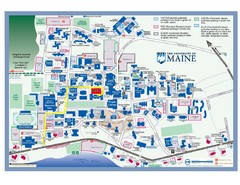
University of Maine Campus Map
178 miles away
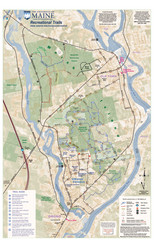
University of Maine Recreation Trails Map
Trails marked connecting two busy towns of Old Town and Orono.
178 miles away
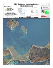
Penekese Island Eelgrass Map
179 miles away
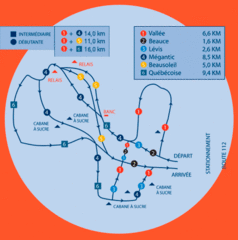
Club de ski de Beauce Nordic Ski Trail Map
Trail map from Club de ski de Beauce, which provides downhill and nordic skiing. This ski area has...
179 miles away

Club de ski de Beauce Ski Trail Map
Trail map from Club de ski de Beauce, which provides downhill and nordic skiing. This ski area has...
179 miles away
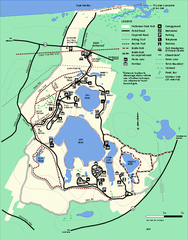
Nickerson State Park trail map
Trail map of Nickerson State Park in Massachusetts.
179 miles away
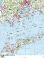
Fishers Island Map
In Long Island Sound
179 miles away
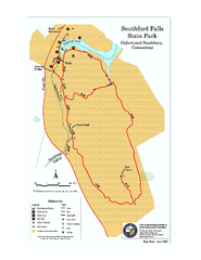
Southford Falls State Park map
Trail map for Southford Falls State Park in Connecticut.
179 miles away
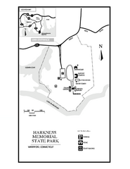
Harkness Memorial State Park map
Trail map of Harkness Memorial State Park in Connecticut.
179 miles away
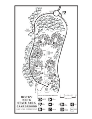
Rocky Neck State Park campground map
Campground map of Rocky Neck State Park in Connecticut.
179 miles away
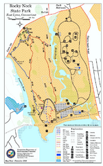
Rocky Neck State Park trail map
Trail map of Rocky Neck State Park in Connecticut.
180 miles away
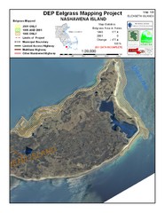
Nashawena Island Eelgrass Map
180 miles away
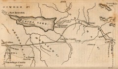
Antique map of Utica, NY from 1830
Map of Utica, NY from The Northern Traveller, and Northern Tour; with the Routes to The Springs...
180 miles away
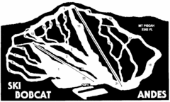
Bobcat Ski Center Ski Trail Map
Trail map from Bobcat Ski Center.
181 miles away

Ogdensburg, New York Historical Map
A wonderful highlight are the art reproductions of homes and buildings which surround the map...
181 miles away
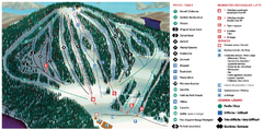
Belle Neige Ski Trail Map
Trail map from Belle Neige, which provides downhill skiing. This ski area has its own website.
181 miles away
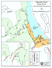
Squantz Pond State Park map
Trail and campground map for Squantz Pond State Park in Connecticut.
182 miles away
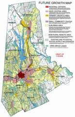
Danbury Regional Growth Map
Guide to future growth of Danbury, CT and surrounds
182 miles away
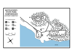
Kettletown State Park campground map
Campground map for Kettletown State Park in Connecticut.
182 miles away
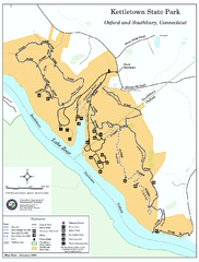
Kettletown State Park trail map
Trail map for Kettletown State Park in Connecticut.
182 miles away
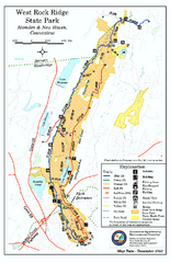
West Rock Ridge State Park map
Trail map of West Rock Ridge State Park in Connecticut.
182 miles away
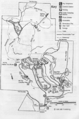
Gilbert Lake State Park Map
182 miles away
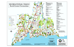
South Central Connecticut Recreational Trail Map
Map of South Central Connecticut showing all recreational trails and open spaces.
182 miles away
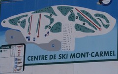
Mont Carmel Ski Trail Map
Trail map from Mont Carmel.
182 miles away
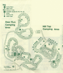
Gilbert Lake State Park Camping Map
183 miles away
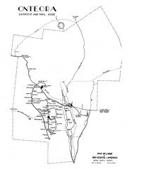
Onteora District Map
Boy Scouts Map of Onteora
183 miles away
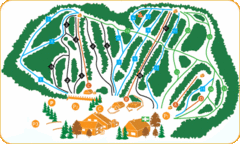
Vallee Bleue Ski Trail Map
Trail map from Vallee Bleue, which provides downhill skiing. This ski area has its own website.
183 miles away
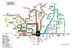
Guilford Bus Services Map
183 miles away
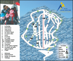
Mont Avalanche Ski Trail Map
Trail map from Mont Avalanche, which provides downhill skiing. This ski area has its own website.
184 miles away
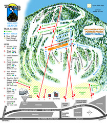
Thunder Ridge Ski Trail Map
Trail map from Thunder Ridge.
184 miles away
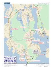
Southwest Harbor, Maine Map
Maine Coast Welcome Center's local Map of Southwest Harbor, Me with recommended business...
184 miles away
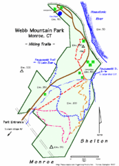
Webb Moutain Park Map
184 miles away

Hammonasset Beach State Park map
Trail map for Hammonasset Beach State Park in Connecticut.
184 miles away
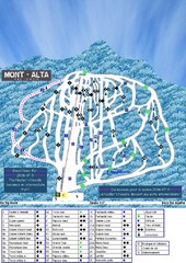
Mont Alta Ski Trail Map
Trail map from Mont Alta, which provides downhill skiing. This ski area has its own website.
184 miles away

