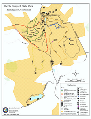
Devils Hophard State Park map
Trail and camprground map for Devils Hopyard State Park in Connecticut.
168 miles away
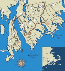
Southeastern New England Wine Trail Map
Map of the Southeastern New England Wine Trail, showing all vineyards and wineries that are members...
170 miles away
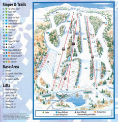
Powder Ridge Ski Area Ski Trail Map
Trail map from Powder Ridge Ski Area.
170 miles away
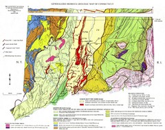
Connecticut Geologic Map
Geologic map of Connecticut bedrock. Shows shaded terranes, fault lines, and Mesozoic formations.
170 miles away
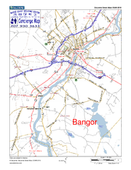
Bangor, Me, USA Map
Maine Coast Welcome Center's local Map of Bangor, Me with recommended business locations.
171 miles away

Cockaponset State Forest North Section trail map
Trail map for the north section of Cockaponset State Forest in Connecticut
171 miles away
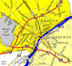
Bangor City Map
Airport, roads and interstates are on this map.
171 miles away
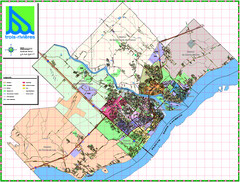
Trois Rivieres City Map
172 miles away
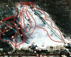
Woodbury Ski Area Ski Trail Map
Trail map from Woodbury Ski Area, which provides downhill, night, nordic, and terrain park skiing...
172 miles away
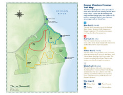
Esopus Meadows Preserve Trail Map
Trail map of Esopus Meadows Preserve park on the Hudson River.
172 miles away
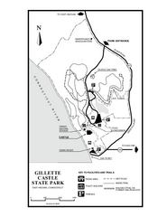
Gillette State Park trail map
Trail map of Gillette Castle State Park in Connecticut.
172 miles away
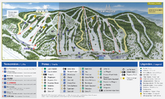
Mont Avila Ski Trail Map
Trail map from Mont Avila, which provides downhill skiing. This ski area has its own website.
173 miles away
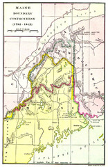
Maine Boundary Controversy 1782-1842 Map
Here you can all the British and American claims and proposals to settle the Maine boundary with...
173 miles away
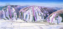
Snow Ridge Ski Trail Map
Trail map from Snow Ridge.
173 miles away
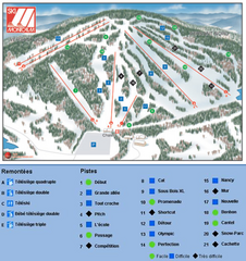
Ski Montcalm Ski Trail Map
Trail map from Ski Montcalm, which provides downhill skiing. This ski area has its own website.
173 miles away
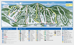
Mont Saint-Sauveur Ski Trail Map
Trail map from Mont Saint-Sauveur, which provides downhill skiing. This ski area has its own...
173 miles away

Cockaponset State Forest South Section trail map
Trail map for the South Section of Cockaponset State Forest in Connecticut.
174 miles away
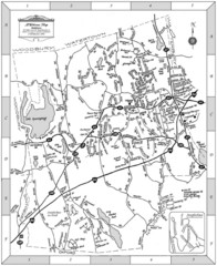
Middlebury, Connecticut Map
174 miles away
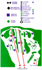
Mont Habitant Ski Trail Map
Trail map from Mont Habitant, which provides downhill skiing. This ski area has its own website.
174 miles away
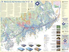
Maine's Ice Age Trail Map
174 miles away
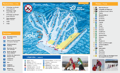
Mont Olympia Ski Trail Map
Trail map from Mont Olympia, which provides downhill skiing. This ski area has its own website.
174 miles away
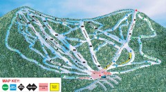
Plattekill Ski Trail Map
Official ski trail map of Plattekill ski area from the 2007-2008 season.
174 miles away
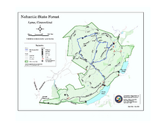
Nehantic State Forest map
Trail map of Nehantic State Forest in Connecticut.
174 miles away
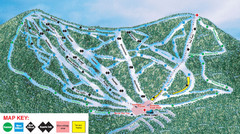
Ski Plattekill Ski Trail Map
Trail map from Ski Plattekill.
174 miles away
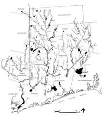
Rhode Island Coastal Watershed Map
Paddling Guide of Pawcatuck River Watershed
175 miles away
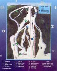
Woods Valley Ski Area Ski Trail Map
Trail map from Woods Valley Ski Area.
175 miles away
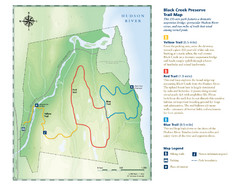
Black Creek Trail Preserve Map
Trail map of Black Creek Preserve on the Hudson River in New York. Shows Yellow Trail, Red Trail...
175 miles away
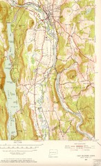
New Milford, Connecticut Map
New Milford, Connecticut topo map with roads, streets and buildings identified
175 miles away
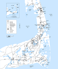
Cape Cod Rail Trail, Cape Cod, Massachusetts Map
Map of the Cape Cod Rail Trail bike path. Shows trails, restrooms, other roads and parking.
175 miles away

Mont Gabriel Ski Trail Map
Trail map from Mont Gabriel, which provides downhill skiing. This ski area has its own website.
176 miles away
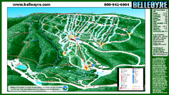
Belleayre Mountain Ski Trail Map
Trail map from Belleayre Mountain.
176 miles away
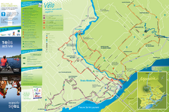
Trois-Rivières Cycling Map
Cycling route map of Trois-Rivières area. Shows multiple routes and hotels.
177 miles away
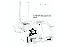
Fort Trumbull State Park map
Map of Fort Trumbull State Park in Connecticut.
177 miles away
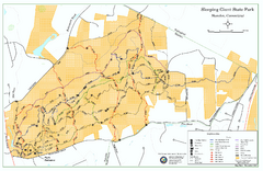
Sleeping Giant State Park map
Trail map for Sleeping Giant State Park in Connecticut.
177 miles away
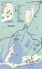
Waquoit Bay National Estuarine Research Preserve...
Trail map of Waquoit Bay National Estuarine Research Preserve in Massachusetts.
177 miles away
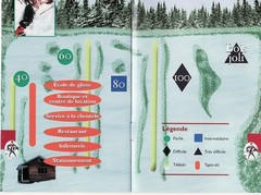
Les Cotes 40/80 Ski Trail Map
Trail map from Les Cotes 40/80.
177 miles away
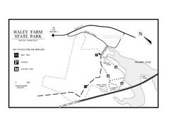
Haley Farm State Park map
Trail map of Haley Farm State Park in Connecticut.
177 miles away
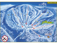
Ski Morin Heights Ski Trail Map
Trail map from Ski Morin Heights, which provides downhill skiing. This ski area has its own website.
178 miles away
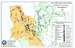
Chatfield Hollow State Park map
Trail map of Chatfield Hollow State Park
178 miles away

