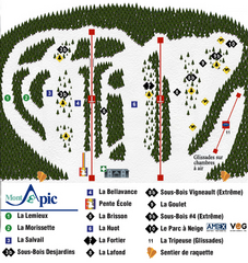
Mont Apic Ski Trail Map
Trail map from Mont Apic, which provides downhill skiing. This ski area has its own website.
162 miles away
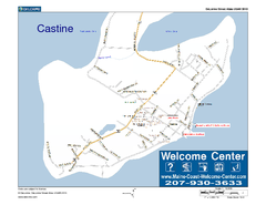
Castine, Maine, USA Map
Maine Coast Welcome Center's local Map of Castine, Me with recommended business locations.
162 miles away
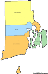
Rhode Island Counties Map
162 miles away
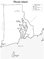
Rhode Island Airports Map
162 miles away
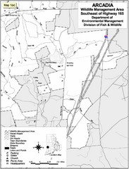
Arcadia Wildlife Management Area Map - Southeast
Reference map shows portion of Arcadia Wildlife Management Area, Rhode Island southeast of Highway...
163 miles away
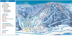
Hunter Mountain ski trail map
Official ski trail map of Hunter Mountain ski area from the 2006-2007 season.
163 miles away
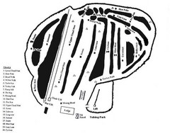
Hermon Mountain Ski Trail Map
Trail map from Hermon Mountain.
163 miles away
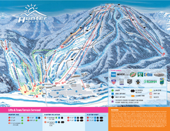
Hunter Mountain Ski Bowl Ski Trail Map
Trail map from Hunter Mountain Ski Bowl.
163 miles away
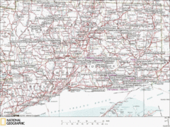
Connecticut Canoeing and Kayaking Lakes Map
A map of the lakes and ponds that are open for canoeing and kayaking in Connecticut. For detailed...
163 miles away
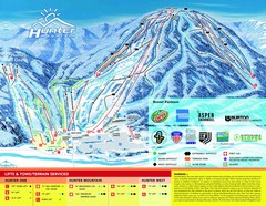
Hunter Mountain Trail Map
163 miles away

Salmon River State Forest trail map
Trail map for Salmon River State Forest in Connecticut.
163 miles away
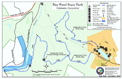
Daypond State Park map
Trail map for Day Pond State Park
163 miles away
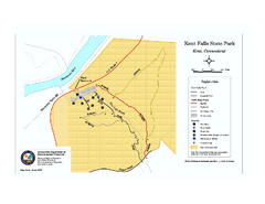
Kent Falls State Park trail map
Trail map of Kent Falls State Park in Connecticut.
164 miles away
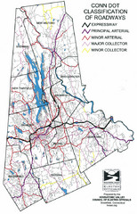
Connecticut Roadway Classification Map
164 miles away
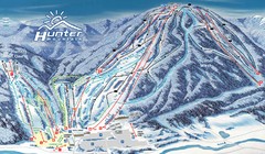
Hunter Mountain Trail Map
Ski trail map
164 miles away
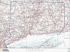
Connecticut State Parks Map
This is statewide map for Connecticut state parks. Go to the source website for detailed hiking...
165 miles away
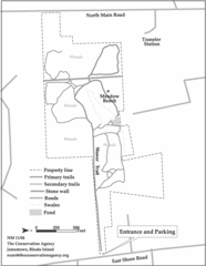
Parker Farm Trail Map
165 miles away

Poets Walk Trail Map
Guide to Poet's Walk and Hudson River Overlook
165 miles away
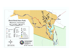
Black Rock State Park trail map
Trail map of Black Rock State Park in Connecticut.
165 miles away
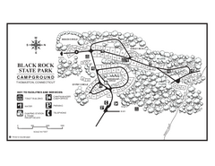
Black Rock Campground map
Map of the Campgrounds in Black Rock State Park.
165 miles away
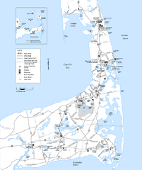
Cape Cod Rail Trail Map
Cape Cod Rail Trail map. The Cape Cod Rail Trail follows a former railroad right-of-way for 22...
165 miles away
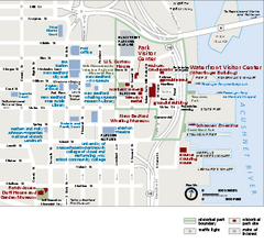
New Bedford Whaling National Historical Park...
Official NPS map of New Bedford Whaling National Historical Park in Massachusetts. Map shows all...
165 miles away
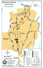
Macedonia Brook State Park trail map
Trail map of Macedonia Brook State Park in Connecticut.
165 miles away
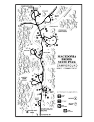
Macedonia Brook State Park campground map
Campground map for Macedonia Brook State Park in Connecticut.
166 miles away
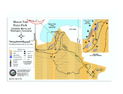
Mount Tom State Park trail map
Trail map of Mt. Tom State Park in Connecticut.
166 miles away
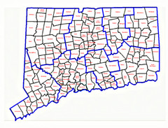
Connecticut Town Map
166 miles away
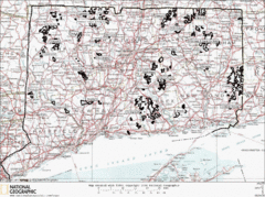
Connecticut State Forests Map
This is a map of all of the state forest boundaries in Connecticut. Follow the source web address...
166 miles away
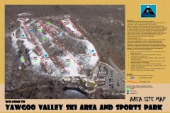
Yawgoo Valley Ski Trail map
Map of Yawgoo Valley Ski area in Exeter, Rhode Island. It is the only skiing resort in Rhode...
166 miles away
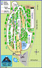
Yawgoo Valley Ski Area Ski Trail Map
Trail map from Yawgoo Valley Ski Area.
166 miles away
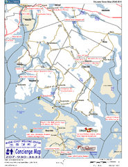
Blue Hill Peninsula, Maine, US Map
Maine Coast Welcome Center's local Map of the Blue Hill Peninsula, Me with recommended...
166 miles away
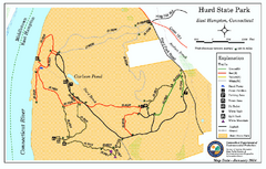
Hurd State Park trail map
Trail map for Hurd State Park in Connecticut.
167 miles away
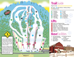
Mt. Southington Ski Area Ski Trail Map
Trail map from Mt. Southington Ski Area, which provides downhill, night, and terrain park skiing...
167 miles away
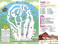
Mount Southington Ski Trail Map
Official ski trail map of Mount Southington ski area from the 2007-2008 season.
167 miles away
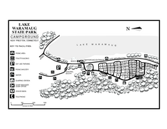
Lake Waramaug State Park campground map
Campground map of Lake Waramaug State Park.
167 miles away
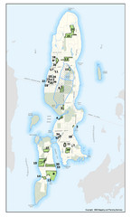
Conanicut Island Land Trust Map
Shows 430 acres of property on Conanicut Island, RI stewarded by the Conanicut Island Land Trust
167 miles away
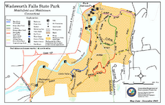
Wadsworth Falls State Park map
Trail map of Wadsworth Falls State Park in Connecticut.
168 miles away
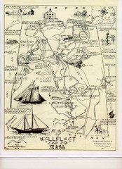
Wellfleet 1930s Tourist Map
A tourist map from the 1930s of Wellfeet, Massachusetts in Cape Cod. Courtesy of Cynthia Blakeley
168 miles away
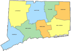
Connecticut Counties Map
168 miles away
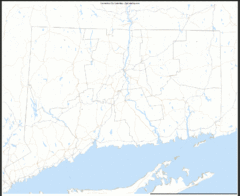
Connecticut Zip Code Map
Check out this Zip code map and every other state and county zip code map zipcodeguy.com.
168 miles away
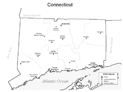
Conneticut Airports Map
168 miles away

