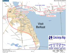
Belfast, Maine, USA Map
Maine Coast Welcome Center's local Map of Belfast, Me with recommended business locations. You...
153 miles away
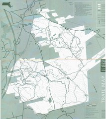
Freetown State Forest Map
Freetown State Forest Map showing mountain biking trails
154 miles away
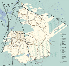
Freetown-Fall River State Forest trail map
Trail map of Freetown-Fall River State Forest in Massachusetts
154 miles away
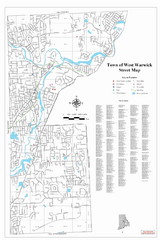
West Warwick Town Map
Street map of W. Warwick
154 miles away
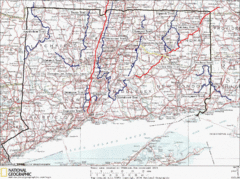
Connecticut Long Distance Trails Map
A map of long distance trails throughout Connecticut. Go to the website below for detailed trail...
156 miles away
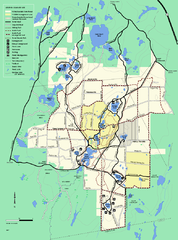
Myles Standish State Forest trail map
Summer trail map for Myles Standish State Forest.
156 miles away
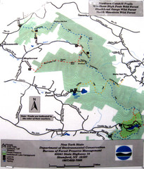
Northern Catskill Trail Map
Trail map shows hiking trails in the northern Catskills of New York. Shows trails in Windham High...
156 miles away
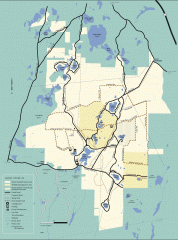
Myles Standish State Forest winter trail map
Winter activity map of all the trails and roads in Myles Standish State Park, MA. Cross country...
156 miles away
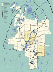
Myles Standish State Forest summer trail map
Map of all the trails and roads in Myles Standish State Park, MA. 15 miles of bicycle trails, 35...
156 miles away
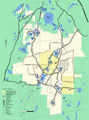
Myles Standish State Forest Winter trail map
Myles Standish State Forest winter use trail map.
156 miles away
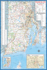
Rhode Island Road Map
Official Rhode Island state highway map. Insets show Newport and Providence.
157 miles away
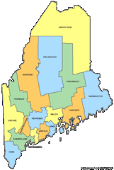
Maine Counties Map
157 miles away
Maine Zip Code Map
Check out this Zip code map and every other state and county zip code map zipcodeguy.com.
157 miles away
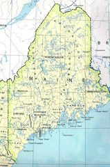
Maine Tourist Map
157 miles away
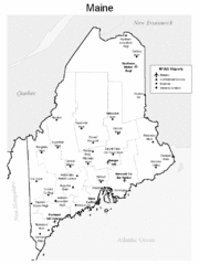
Maine Airports Map
157 miles away
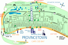
Provincetown, Massachusetts Map
Tourist map of Provincetown, Massachusetts. Shows beaches, visitor's center, bike trails, and...
157 miles away
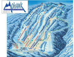
Mohawk Mountain Ski Trail Map
Ski trail map of Mohawk Mountain ski area
158 miles away

North Mohawk Mountain State Forest (Winter Trails...
Winter trail map for North Mohawk Mountain State Forest in Connecticut.
158 miles away

North Mohawk Mountain State Forest (Summer Trails...
Summer trail map of the North section of Mohawk Mountain State Forest in Connecticut.
158 miles away
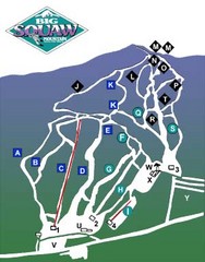
Big Squaw Ski Trail Map
Trail map from Big Squaw, which provides downhill skiing. It has 2 lifts; the longest run is 2253...
158 miles away
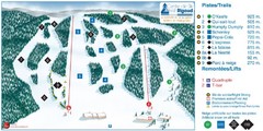
Ski Mont Rigaud Ski Trail Map
Trail map from Ski Mont Rigaud, which provides downhill skiing. This ski area has its own website.
158 miles away
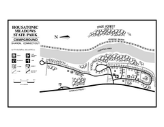
Housatonic State Forest campground map
Campground map of Housatonic State Forest in Connecticut.
158 miles away
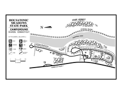
Housatonic Meadows State Park campground map
Campground map for Housatonic Meadows State Park in Connecticut.
159 miles away
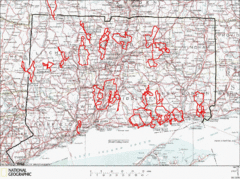
Connecticut Road Cycling Routes Map
A map of road cycling routes throughout Connecticut. Follow the link below for detailed route maps...
159 miles away
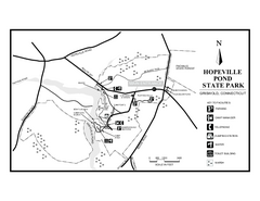
Hopeville Pond State Park trail map
Trail map for Hopevill Pond State Park in Connecticut
159 miles away
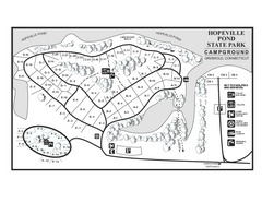
Hopeville Pond campground map
Campground map of Hopeville Pond State Park in Connecticut.
159 miles away
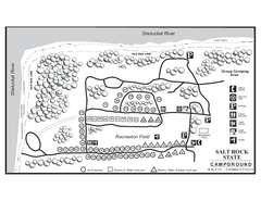
Salt Rock State Park campground map
Campground Map of Salt Rock State Campground in Connecticut.
159 miles away

South Mohawk Mountain State Forest (Winter Trails...
Winter trial map for the Southern Section of Mohawk Mountain State Forest in Connecticut.
159 miles away
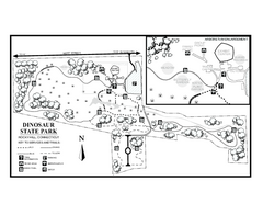
Dinosaur State Park map
Trail map of Dinosaur State Park in Connecticut.
159 miles away
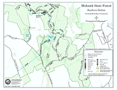
South Mohawk Mountain State Forest (Summer Trails...
Summer trails for South Mohawk State Forest in Connecticut.
159 miles away
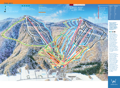
Windham Mountain Ski Trail Map
Trail map from Windham Mountain.
159 miles away
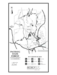
Pachaug State Forest map
Trail map of Pachaug State Forest in Connecticut.
160 miles away
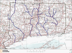
Connecticut Rivers and Coastal Paddling Map
This is a map of paddling areas for rivers and coastal kayaking. Follow the link below for...
160 miles away
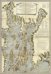
Narrangansett Bay Map 1777
"A Topographical CHART of the BAY of NARRAGANSET in the Province of NEW ENGLAND. with the...
160 miles away

Topsmead State Forest map
Trail map for Topsmead State Forest in Connecticut.
160 miles away
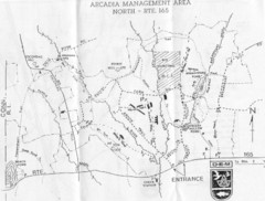
Arcadia Management Area State Map
Trail map for Arcadia Management Area in Rhode Island
160 miles away
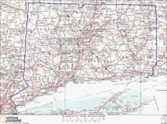
Connecticut Rock Climbing Locations Map
A map of most of the important rock climbing and bouldering areas in Connecticut. Click the link...
161 miles away
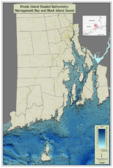
Rhode Island Shaded Bathymetry Map
Bathymetric map of Rhode Island with Narrangansett Bay and Rhode Island Sound. Graduated...
161 miles away
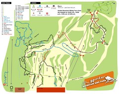
Hunter Mountain Bike Park Map
Map of bike trails in park
162 miles away

