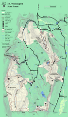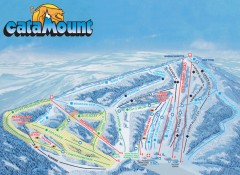
Catamount Ski Trail Map
Official ski trail map of Catamount ski area from the 2006-2007 season.
141 miles away
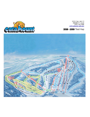
Catamount Ski Area Ski Trail Map
Trail map from Catamount Ski Area.
141 miles away
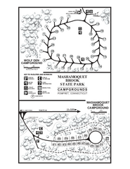
Mashamoquet Brook State Park campground map
Campground map of Mashamoquet Brook State Park in Connecticut.
142 miles away
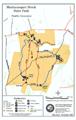
Mashamoquet Brook State Park trail map
Trail map of Mashamoquet Brook State Park in Connecticut.
142 miles away
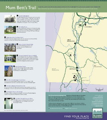
Mum Bett's Trail Map
Historic African American trail guide
143 miles away
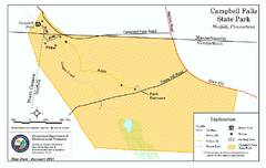
Cambell Falls State Park map
Trail map of Campbell Falls State Park Reserve in Connecticut
143 miles away
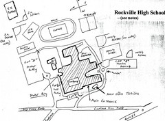
Rockville High School Map
Hand-drawn map of Rockville High School includes all buildings, Parking Lots, and sports fields.
143 miles away
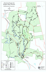
American Legion State Forest trail map
Trail map of American Legion and Peoples State Forests in Connecticut.
143 miles away
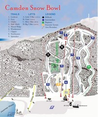
Camden Snow Bowl Ski Trail Map
Trail map from Camden Snow Bowl.
144 miles away
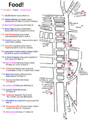
Rockland, Maine Restaurant Map
144 miles away
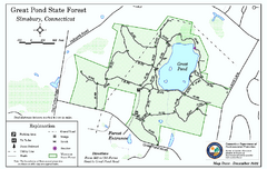
Great Pond State Park trail map
Trail map of Great Pond State Forest in Connecticut.
145 miles away
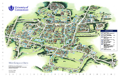
University of Connecticut - Storrs Campus Map
University of Connecticut - Storrs Campus Map. All areas shown.
145 miles away
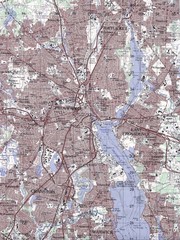
Providence Topo Map
Topo map of Providence, East Providence, Cranston, and Pawtucket, RI. Original scale 1:50,000
145 miles away
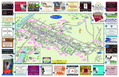
Hudson Tourist Map
Tourist map of Hudson, New York showing all tourist points of interest. Ads around border.
146 miles away
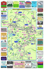
Columbia County - Boston Corners, Copake, Copake...
Tourist map of Columbia County, Mass. Includes towns of Boston Corners, Copake, Copake Falls...
146 miles away

Mansfield Cemetery Map
146 miles away
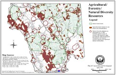
Mansfield Conservation and Development Map
Guide to Agricultural, Forestry and Natural Diversity Resources
146 miles away
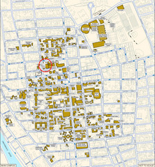
Providence, Rhode Island City Map
146 miles away
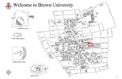
Brown University Map
146 miles away
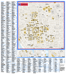
Brown University Campus Map
Official campus map of Brown University.
146 miles away
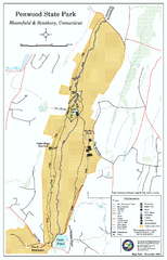
Penwood State Park map
Trail map of Penwood State Park in Connecticut.
147 miles away
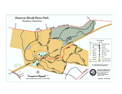
Stratton Brook State Park map
Trail map of Stratton Brook State Park in Connecticut.
147 miles away
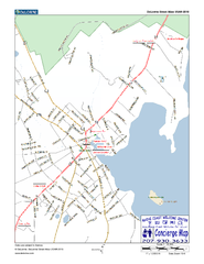
Camden, Maine, USA Map
Maine Coast Welcome Center's local Map of Camden, Me with recommended business locations.
147 miles away
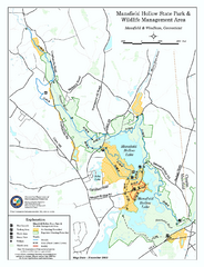
Mansfield Hollow State Park map
Map for Mansfield Hollow State Park and Wildlife Management Area in Connecticut.
147 miles away
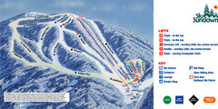
Ski Sundown Ski Trail Map
Trail map from Ski Sundown, which provides downhill and night skiing. It has 5 lifts servicing 15...
147 miles away
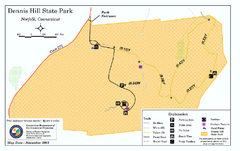
Dennis Hill State Park map
Trail map of Dennis Hill State Park in Connecticut.
148 miles away
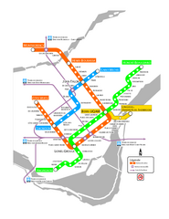
Montreal Metro Map
149 miles away
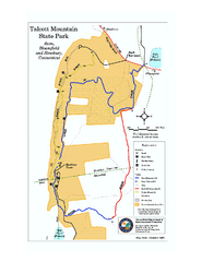
Talcott Mountain State Park map
Trail map of Talcott Mountain State Park in Connecticut.
149 miles away
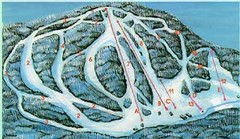
McCauley Mountain Ski Trail Map
Trail map from McCauley Mountain.
149 miles away
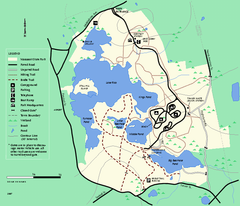
Massasoit State Park trail map
Trail map of Massasoit State Park in Massachusetts
149 miles away
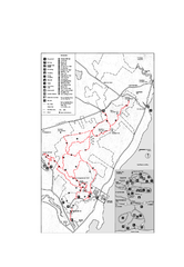
Camden Hills State Park map
Trail map for Camden Hills State Park in Vermont
150 miles away
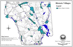
Historic Villages of Mansfield, Connecticut Map
Historical villages outlined on the map of the existing city.
151 miles away
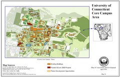
University of Connecticut Campus Map
Map shows current, funded projects and future development for UConn.
151 miles away
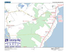
Lincolnville, Maine, USA Map
Maine Coast Welcome Center's local Map of Lincolnville, Me with recommended business locations.
151 miles away
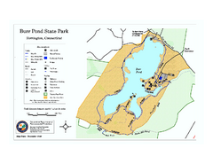
Burr Pond State Park map
Map of Burr Pond State Park in Connecticut.
151 miles away
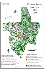
2002 Windham Region Land Use Map
Regional Land Use Guide Map for Planning Purposes
151 miles away

Wadsworth Athenium Museum Location Map
Wadsworth Athenium visitor location map with locations of major buildings, streets, parks, and...
152 miles away
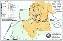
Gay City State Park trail map
Trail map of Gay City State Park in Connecticut.
152 miles away
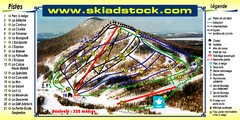
Mont Adstock Ski Trail Map
Trail map from Mont Adstock, which provides downhill skiing. This ski area has its own website.
153 miles away

