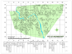
Woonsocket Street Map
Street map of Woonsocket, Rhode Island. Shows street legend.
133 miles away
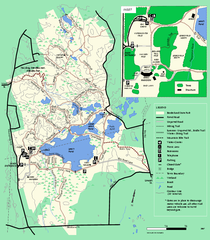
Borderland State Park trail map
Trail map of Borderland State Park in Massachusetts
134 miles away
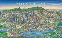
Montreal Downtown pictorial Map
Pictorial illustration of Downtown Montreal
134 miles away
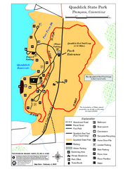
Quaddick State Park Trail Map
135 miles away
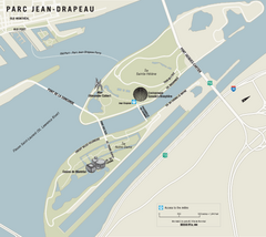
Parc Jean Drapeau Map
Park map of Parc Jean Drapeau in the St. Lawrence River, Montreal
135 miles away
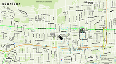
Downtown Montreal Map
Street map of central Montreal. Shows access to the metro and commuter train
135 miles away
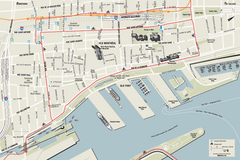
Old Montreal and Old Port Bike Map
Bike route map of Old Montreal and Old Port area
135 miles away
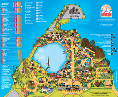
Six Flags La Ronde Theme Park Map
Official Park Map of Six Flags La Ronde Theme Park in Montreal, Quebec.
135 miles away
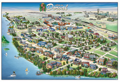
Pictorial map of Dorval
135 miles away
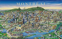
montreal Downtown Map
135 miles away
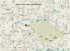
Mount Royal and Surroundings Map
136 miles away
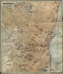
Antique map of Montreal from 1894
"Montreal" from Baedeker, Karl. The Dominion of Canada with Newfoundland and an Excursion...
136 miles away
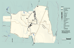
Granville State Forest trail map
Trail map of Granville State Forest in Massachusetts
136 miles away
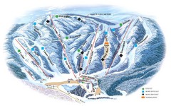
Butternut Ski Area Ski Trail Map
Trail map from Butternut Ski Area.
136 miles away
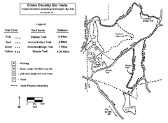
Pulaski State Park Map
137 miles away
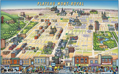
Plateau Mont-Royal Map
Pictorial view of Plateau Mont-Royal
137 miles away
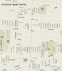
Plateau Mont Royal Map
137 miles away
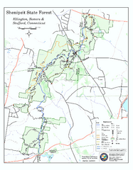
Trail map of Shenipsit State Forest
Trail map of Shenipsit State Forest in Connecticut.
137 miles away
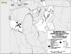
Durfee Hill Wildlife Management Area Map
137 miles away
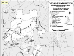
George Washington Wildlife Management Area Map
137 miles away

Olympic Scenic Byway Map
Overview map showing the length of the Olympic Scenic Byway, which runs from Lake Ontario (Sackett...
138 miles away
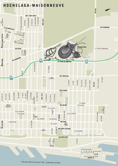
Hochelaga-Maisonneuve Map
138 miles away
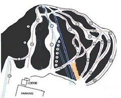
Royal Mountain Ski Trail Map
Trail map from Royal Mountain.
138 miles away
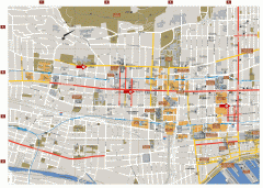
Montreal Downtown Map
Street map of downtown Montreal, Quebec. In French.
139 miles away
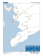
Port Clyde, Maine, USA Map
Maine Coast Welcome Center's local Map of Port Clyde, Me with recommended business locations.
139 miles away
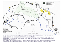
Sprague Farm - Glocester Land Trust Map
139 miles away
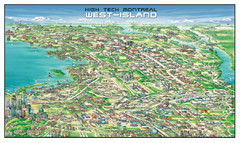
The West-Island Map
Panoramic illustration of High tech business in Montreal's West-Island
140 miles away
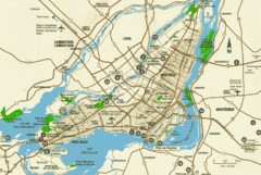
Montreal Tourist Map
140 miles away
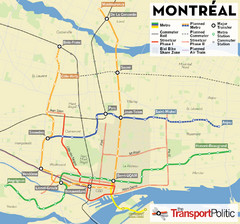
Montreal Tourist Map
140 miles away
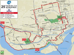
Montreal Tourist Map
140 miles away
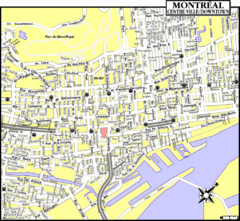
Montreal Tourist Map
140 miles away
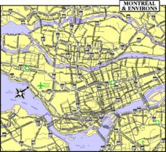
Montreal Tourist Map
140 miles away
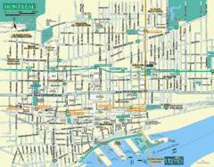
Montreal Tourist Map
140 miles away
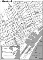
Montreal Tourist Map
140 miles away
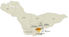
Montreal Neighborhood Map
140 miles away
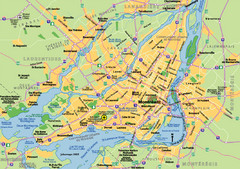
Montreal City Map
City map of Montreal with main roads
140 miles away
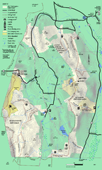
Mt. Washington State Forest trail map
Trail map of Mt. Washington State Forest
140 miles away
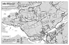
Montreal Bike Route Map
Shows city bike routes. In French.
140 miles away
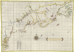
Velasco Map 1610
140 miles away
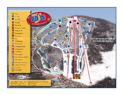
Mont Gleason Ski Trail Map
Trail map from Mont Gleason, which provides downhill skiing. This ski area has its own website.
141 miles away

