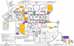
New York State University Uptown Campus Map
Map of the NYS University Campus, including all buildings, streets, and Visitors Parking...
125 miles away
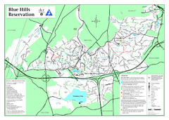
Blue Hills State Park Map
Clearly marked state park map of this beautiful state park.
125 miles away
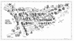
Lenox Village Map
Hand-drawn village map of historic center of Lenox, Massachusetts
125 miles away
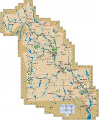
Blackstone Valley tourist map
Tourist map of the Blackston Valley in Rhode Island and Massachusetts. Shows hiking, biking, and...
125 miles away
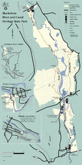
Heritage State Park Map
Clear state park map marking trails and facilities.
125 miles away
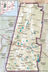
Berkshires Map
Overview map of the Berkshires region of Western Massachusetts
125 miles away
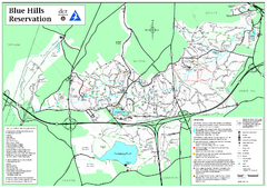
Blue Hills Reservation Trail Map
Trail map of the Blue Hills Reservation in Massachusetts
125 miles away
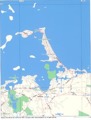
Hull Town Map
125 miles away
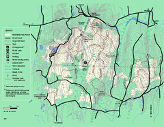
Brimfield State Forest trail map
Trail map of Brimfield State Forest in Massachusetts
126 miles away
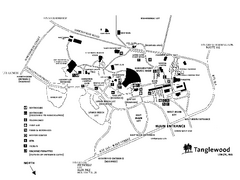
Tanglewood Map
Detailed map of the Tanglewood grounds that includes the location of the Box Office, Friends Office...
126 miles away
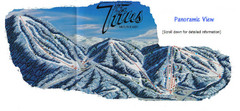
Titus Mountain Ski Trail Map
Trail map from Titus Mountain.
126 miles away
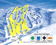
Blandford Ski Trail Map
Official ski trail map of Blandford ski area
127 miles away
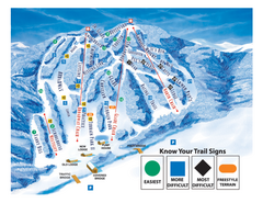
Blandford Ski Area Ski Trail Map
Trail map from Blandford Ski Area.
127 miles away

Mine Brook Wildlife Management Area Map
127 miles away
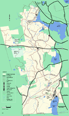
Douglas State Forest trail map
Trail map of the Douglas State Forest in Massachusetts
128 miles away
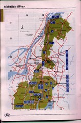
Richelieu River Guide Map
128 miles away
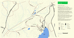
Douglas State Park Detail Map
129 miles away
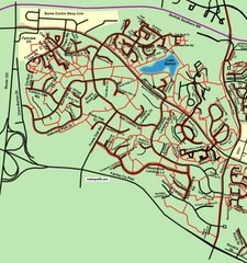
Burke Centre Area Trail Map
129 miles away
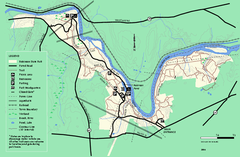
Robinson State Park trail map
Trail map of Robinson State Park in Massachusetts.
129 miles away
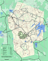
Wompatuck State Park trail map
Trail map of Wompatick State Park in Massachusetts.
131 miles away
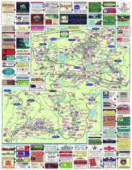
South County Berkshires map
Tourist map of Great Barrington, Housatonic, Sheffield, S. Egremont, N. Egremont Lenox, Stockbridge...
131 miles away
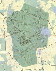
Wompatuck Park Trail Map
Map of Wompatuck Park including trails and roads and park features
131 miles away

Six Flags New England Theme Park Map
Official Park Map of Six Flags New England in Massachusetts.
131 miles away
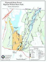
Bigelow Hollow State Park trail map
Trail map of Bigelow Hollow State Park in Connecticut.
131 miles away
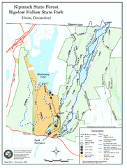
Nipmuck State Forest trail map
Trail map of Nipmuck State Forest and Bigelow Hollow State Park in Connecticut.
131 miles away
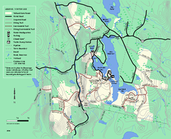
Tolland State Forest winter trail map
Winter usage trail map of the Tolland State Forest area in Massachusetts.
132 miles away
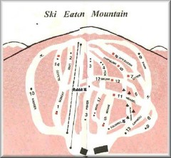
Eaton Mountain Ski Area Ski Trail Map
Trail map from Eaton Mountain Ski Area.
132 miles away
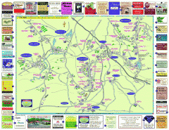
Columbia County - Austerlitz, Canaan, Chatham...
Tourist map of Columbia County including towns of Austerlitz, Canaan, Chatham, East Chatham Ghent...
132 miles away
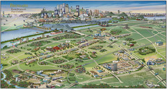
Pictorial map of Brossard
Brossard pictorial map
132 miles away
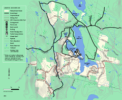
Tolland State Forest summer trail map
Summer use map for Tolland State Forest in Massachusetts.
132 miles away
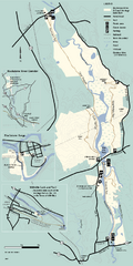
Blackstone Trail Map
Map of Blackstone River State Park in Massachusetts.
132 miles away
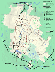
Beartown State Park Summer Map
Summer Map of Beartown State Park in Massachusetts.
132 miles away
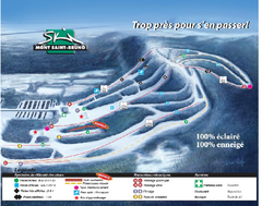
Mont Saint-Bruno Ski Trail Map
Trail map from Mont Saint-Bruno, which provides downhill skiing. This ski area has its own website.
132 miles away
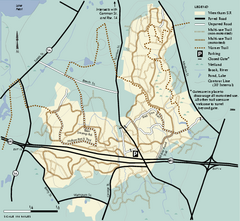
Wrentham State Forest trail map
Trail map of Wrentham State Forest in Massachusetts.
133 miles away
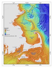
Massachusetts Bay sea floor Map
133 miles away
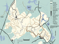
F. Gilbert Hills State Forest trail map
F. Gilbert Hills State Forest trail map in Massachusetts.
133 miles away
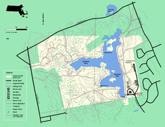
Ames Nowell State Park Map
Trail map of Ames Nowell State Park in Massachusetts
133 miles away
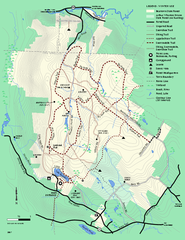
Beartown State Park Winter Map
Winter use map of Beartown State Park in Massachusetts
133 miles away
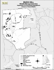
Buck Hill Wildlife Management Area Map
133 miles away
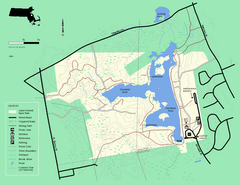
Ames Nowell State Park Map
Simple map of this beautiful state park. Visit and hike, bike, and shop!
133 miles away

