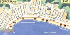
Copacabana-Leme Map
Street map of Copacabana - Leme regions of Rio
1137 miles away
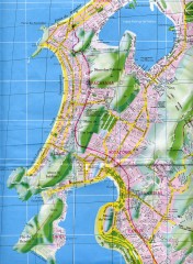
Rio de Janeiro Copacabana Area Map
Shows Copacabana and Pao de Azucar area of Rio de Janeiro, Brazil. Map is oriented south. Scanned.
1138 miles away
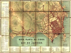
Rio de Janeiro Map 1867
Detailed map of city of Rio de Janeiro. Looks like the map portion has been overlayed on top of a...
1139 miles away
. Map
1140 miles away
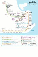
Metro Rio Map
Map of metro subway throughout Rio De Janeiro
1140 miles away
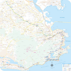
Rio de Janiero Map
1140 miles away
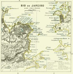
Rio De Janeiro Historical Map
Map of Rio De Janeiro, Brazil fro 1896. Map showis towns, buildings and roads.
1140 miles away
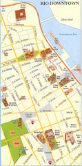
Rio de Janeiro Center Map
Street map of city center
1140 miles away
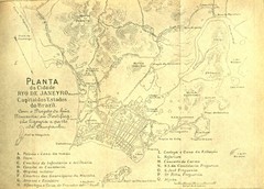
Rio De Janeiro Historical Map
Map of Rio De Janeiro, Brazil likely from 1769 showing the city streets and main buildings.
1140 miles away
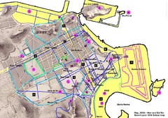
New and Old Rio de Janiero Map
Shows 2000 view of Rio de Janeiro, Brazil superimposed over 1838 Dufour map.
1141 miles away
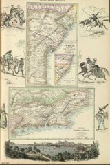
Middle Provinces of Brazil Map 1872
Map of province east coast of Brazil (Bahia) and province of Rio de Janeiro, Brazil 1872
1150 miles away
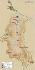
Rio de los Cipreses River Map
Rio de los Cipreses in Antofagasta, Chile
1159 miles away
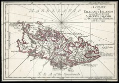
Falkland Islands 1593 Map
1176 miles away
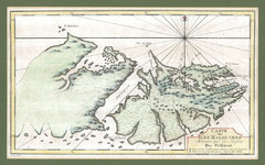
Falkland Islands 1760 Map
1176 miles away
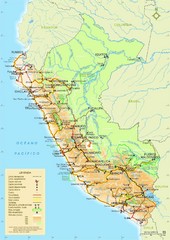
Western South America Tourist Map
1178 miles away
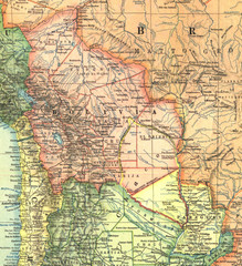
Bolivia and Paraguay in 1921 Map
1921 National Geographic Map of Bolivia and Paraguay before of the 1932-35 bloody war between those...
1179 miles away
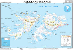
Falkland Islands Map
Overview elevation map of the Falkland Islands
1179 miles away
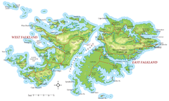
Falkland Islands Map
1180 miles away
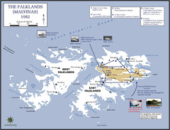
The Falklands War: 1982 Map
The Falklands War: 1982 British campaigns.
1181 miles away
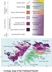
Falkland Islands Geology Map
Geology map of the Falkland Islands
1181 miles away
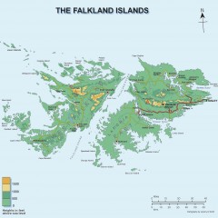
Falkland Islands Elevation Map
Color-coded elevation map of the Falkland Islands
1181 miles away
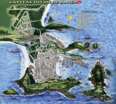
Arraial do Cabo Tourist Map
Tourist map of Arraial do Cabo, Brazil. Approx. 150 km from Rio de Janeiro. Hand-drawn panorama...
1186 miles away
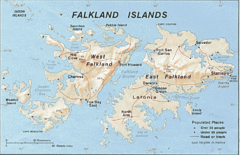
Falkland Islands Tourist Map
1194 miles away
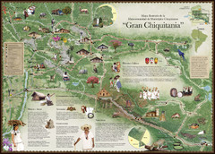
Chiquitania Region Tourist Map
Tourist map of the Mancomunidad Chiquitana or "Association of Chiquitano Peoples and...
1200 miles away
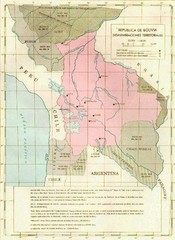
Alleged territorial losses of Bolivia Map
This Bolivian map shows all the alleged territorial losses.
1208 miles away
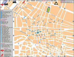
Potosi Center Map
Tourist street map of downtown Potosi
1210 miles away
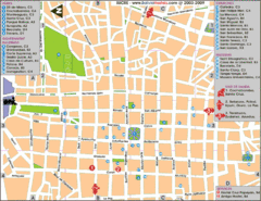
Downtown Sucre Map
Tourist street map of downtown Sucre
1230 miles away
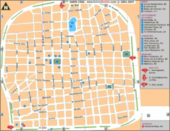
Santa Cruz Tourist Map
Tourist map of city center
1260 miles away
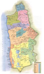
Tarapaca Region Political Map
1293 miles away
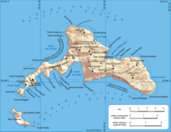
Robinson Crusoe Island Map
Map of Robinson Crusoe Island, Archipelago Juan Fernández, Chile. Shaded relief.
1297 miles away
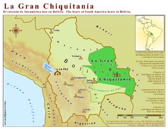
La Gran Chiquitania Map
Location map of the (Gran) Chiquitania region in Bolivia
1309 miles away
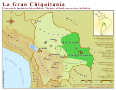
La Gran Chiquitania Map
1311 miles away
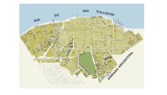
Río Gallegos City Map
City street map
1327 miles away
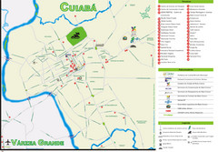
Cuiaba Tourist Map
Tourist street map of town
1334 miles away

Northern Chile Tourist Map
Provinces in Northern Chile
1340 miles away
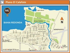
El Calafate City Map
Street map of downtown area
1340 miles away

