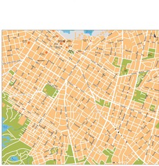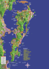
Florianopolis Tourist Map
Tourist map of of Florianopolis, Brazil, known as Floripa. A popular beach party destination
676 miles away
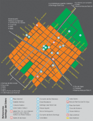
Santiago Del Estero Tourist Map
Tourist street map of city center
686 miles away
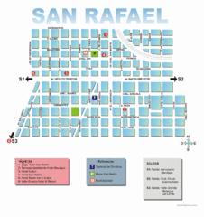
San Rafael Tourist Map
Tourist street map of city
691 miles away
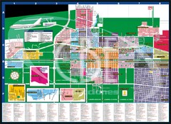
General Roca Map
Detailed street map of city
692 miles away
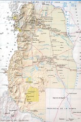
Mendoza Province Road Map
Road map of Mendoza Province in Agentina.
692 miles away
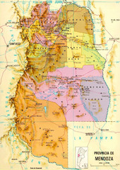
Mendoza Province Map
Province map of Mendoza, Argentina. Shaded by 18 municipalities.
693 miles away
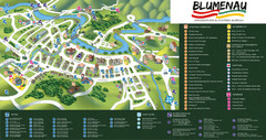
Blumenau Tourist Map
Tourist street map of city
694 miles away
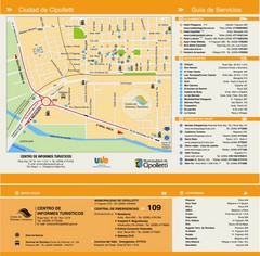
Cipolletti Tourist Map
Tourist street map
710 miles away
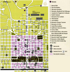
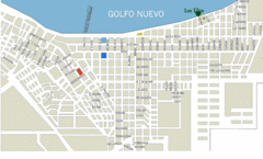
Neuquen Tourist Map
Tourist street map of city center
714 miles away

Caviahue Ski Trail Map
Trail map from Caviahue.
714 miles away
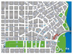
Termas De Rio Hondo Map
City street map
725 miles away
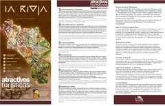
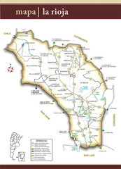
La Rioja Tourist Map
Tourist map of region
731 miles away
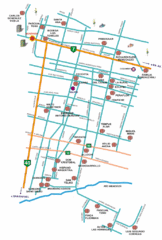
Mendoza Area Wine Map
Wineries/vineyards map of Mendoza, Argentina area.
734 miles away
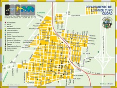
Lujan de Cuyo Tourist Map
Tourist street map
739 miles away
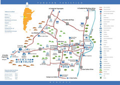
Tunuyan Tourist Map
Tourist map of city
740 miles away
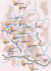
Parque Aconcagua Map
Map of park
740 miles away
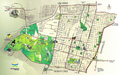
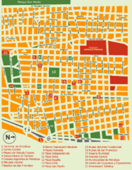
Mendoza City Map
City Map of Mendoza, Argentina. Shows parks.
741 miles away
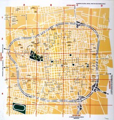
San Juan City Map
Street map of city
751 miles away
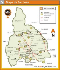
San Juan Province Map
Map of region with detail of main towns
758 miles away
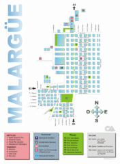
Malargue Tourist Map
Tourist street map
759 miles away
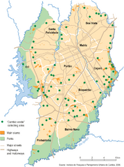
Curitiba City Map
Curitiba city overview map
773 miles away
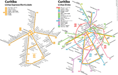
Curitiba Public Transportation Map
773 miles away
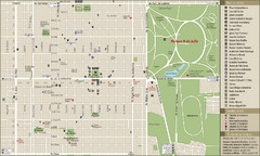
San Miguel de Tucuman Tourist Map
Tourist street map of downtown
774 miles away
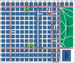
San Miguel de Tucuman City Map
Street map of downtown
775 miles away
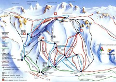
Las Leñas Ski Trail Map
Trail map from Las Leñas.
787 miles away

Mississippi Airports Map
790 miles away
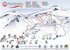
Mapa de Los Penitentes Map
Ski trail map
797 miles away
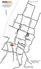
Barreal Map
Street map of town
801 miles away

Paraguay Map
Map of Paraguay showing cities, roads, railroads and borders.
804 miles away
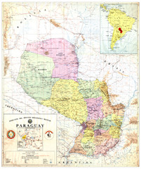
Official map of Paraguay
Official map of Paraguay, year 1993
804 miles away
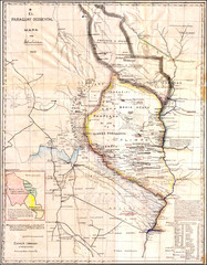
Wartime map of the Chaco
This 1933 map of the Chaco was made during the Chaco War between Paraguay and Bolivia and used by...
804 miles away
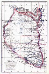
All the failed proposals to delimit the Chaco Map
Here you can see all the proposals to delimit the Chaco between 1879 and 1894. Everyone of them...
804 miles away


