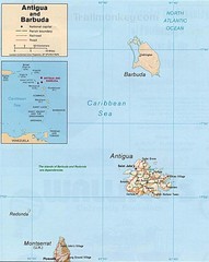
Antigua and Barbuda Map
Map of Antigua and Barbuda showing cities, roads and boundaries.
3633 miles away
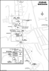
Ciudad Quesada Map
3634 miles away

St. Kitts and Nevis Map
3634 miles away
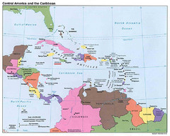
Central American and Caribbean Islands Map
Map shows countries, capital cities and major cities of Central America, Caribbean and the northern...
3635 miles away
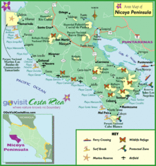
Nicoya Penninsula Tourist Map
3635 miles away

St. Kitts and Nevis dive sites Map
3637 miles away
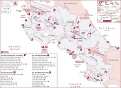
Costa Rica Nature map
Natural overview map of Costa Rica. Shows parks, beaches, adventure destinations, and bird...
3640 miles away
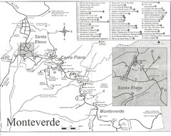
Monteverde Santa Elena Tourist Map
3647 miles away
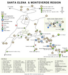
Santa Elena & Monteverde Map
3647 miles away
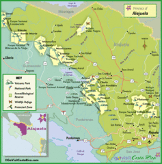
Alajuela Tourist Map
Tourist map of Alajuela region
3650 miles away
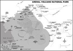
Arenal Volcano National Park Map
3651 miles away

Leeward Islands Map
Guide to the Leeward Islands of the Caribbean, such as Saint Barthelemey, Saint Martin, Anguilla...
3654 miles away
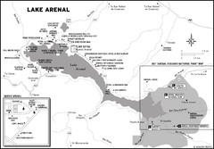
Lake Arenal Map
3657 miles away

Ames Range Topo Map
Topo relief map of the Ames range in western Marie Byrd Land, Antarctica. Shows Mt. Andrus 9,770...
3660 miles away
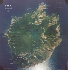
Saba aerial map
Aerial map of Saba. Shows major geological features and towns. Home of one of the world's...
3663 miles away
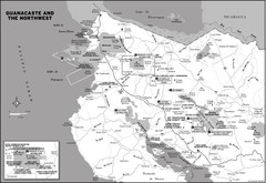
Guanacaste and the Northeast Map
3670 miles away
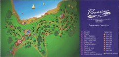
Premier Fiesta Resort and Spa Map
Fiesta Resort Map (Now Hilton)
3675 miles away
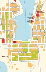
Gustavia Map
3678 miles away

St. Barthelemy Map
3678 miles away
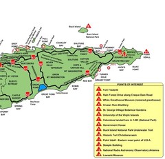
East St. Croix Map
3683 miles away
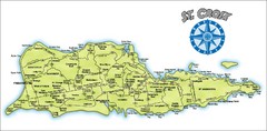
St. Croix Island Map
Overview map of island of St. Croix, US Virgin Islands. Shows districts, roads, and towns.
3683 miles away
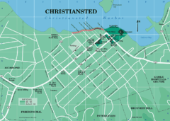
Christiansted Map
3683 miles away
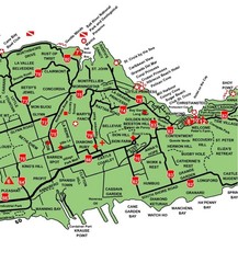
Central St. Croix Map
3683 miles away
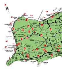
West St. Croix Map
3684 miles away
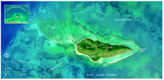
Buck Island Reef National Monument Map
Official NPS park map of Buck Island Reef National Monument off island of St. Croix in the US...
3686 miles away
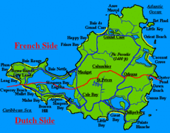
St. Maarten Beach Tourist Map
3689 miles away
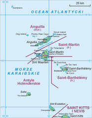
Saint Martin Map
3690 miles away
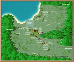
Coco Beach Tourist Map
3691 miles away
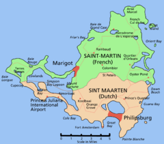
Saint Martin Map
Overview map shows entire island of Saint Martin (French) or Sint Maarten (Dutch).
3692 miles away
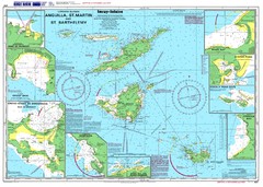
Anguilla St. Martin St. Barthelemy Nautical Map
Nautical map of Anguilla St. Martin St. Barthelemy. Shows insets of major ports.
3694 miles away
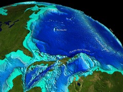
Caribbean Sea Bathymetry Map
3697 miles away
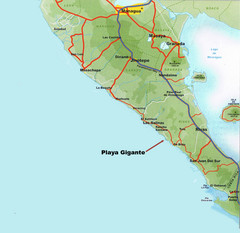
Cental America Coast Map
3700 miles away
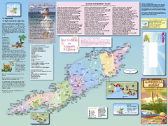
Anguilla Map
Tourist map of Anguilla Island. Shows all restaurants.
3701 miles away
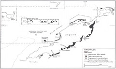
Anguilla Coral Reefs Map
Coral reef map of Anguilla Island.
3702 miles away
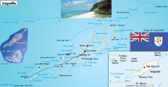
Anguilla Map
3702 miles away
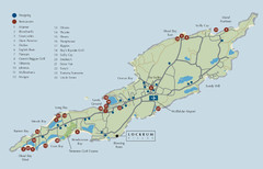
Anguilla Map
3702 miles away
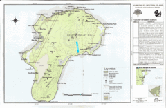
Corn Island Topo Map
3702 miles away
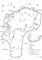
Big Corn Island Tourist Map
3702 miles away
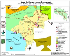
Guanacaste Conservation Area Tourist Map
Tourist map of Guanacaste Conservation Area, a World Heritage Site, in state of Guanacaste, Costa...
3703 miles away
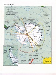
Antarctic Region Political Map 1997
Map centered on South Pole shows all country claims in Antarctica. Also shows year-round research...
3707 miles away

