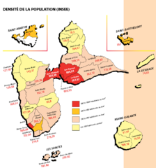
Guadeloupe Population Density Map
Population density of Guadeloupe Islands. A prefecture of France. Data as of 8/12/2003
3548 miles away
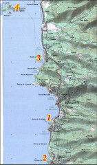
Bouillante West Coast Topo Map
Topo map of the west coast of island of Basse-Terre in the Guadeloupe Archipelago.
3549 miles away
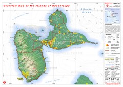
Guadeloupe Overview Map
Overview physical map of Basse-Terre and Grande-Terre Islands in the French Guadeloupe archipelago...
3552 miles away
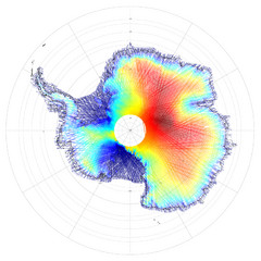
Antarctica Land and Ice Elevation Map
The colors on the map above represent ICESat’s measurements of Antarctica’s topography...
3555 miles away
67.php. Map
3569 miles away
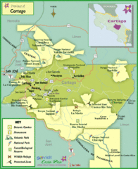
Cartago Tourist Map
Tourist map of Cartago region
3575 miles away
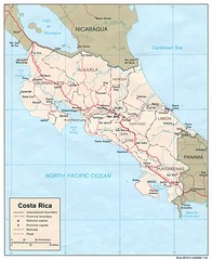
Costa Rica Tourist Map
3577 miles away
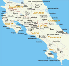
Costa Rica Map
3577 miles away
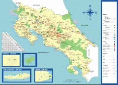
Costa Rica overview map
Map of all of Costa Rica (in Spanish). Shows major roads, cities/towns, parks, volcanoes, airports...
3577 miles away
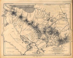
1861 Costa Rica Map
Guide to Costa Rica in unique blend of German and Spanish languages
3586 miles away
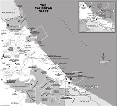
Costa Rica caribbean coast Map
3587 miles away
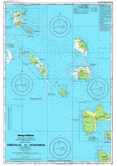
Leeward Islands Nautical Map
Nautical chart of the Leeward Islands in the Caribbean
3587 miles away
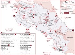
Costa Rica Tourist Map
Tourist map of Costa Rica showing the best parks, beaches, adventures and bird watching.
3587 miles away
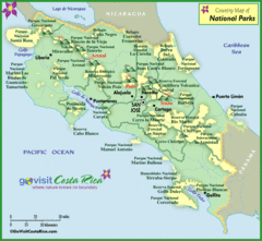
Costa Rica Parks Map
3589 miles away
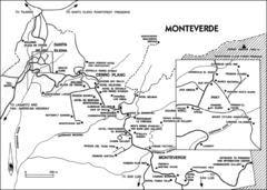
Monteverde Tourist Map
Map of cities, hotels, places of interest in Monteverde, Costa Rica.
3589 miles away
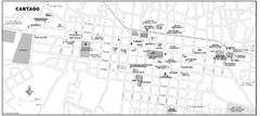
Cartago city Map
3589 miles away

Plymoth and enviorns Map
3591 miles away

Montserrat lava flows Map
3593 miles away
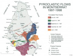
Pyroclastic flows in Montserrat 1997-1998 Map
Shows pyroclastic flows and destroyed settlements in 1997-1998.
3593 miles away
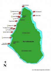
Montserrat Diving map
Diving map of Montserrat in the Caribbean. Shows all diving spots.
3593 miles away
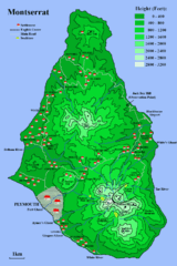
Montserrat Map
3594 miles away
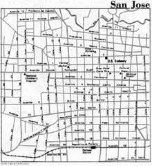
San Jose, Costa Rica City Tourist Map
3598 miles away

San Jose City Map
City map of downtown San Jose, Costa Rica
3599 miles away
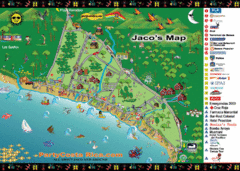
Jaco Tourist Map
3599 miles away
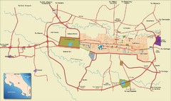
San Jose, Costa Rica Tourist Map
A street map of San Jose, Costa Rica
3600 miles away
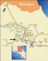
Costa Rica Tourist Map
3601 miles away
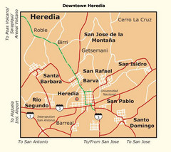
Heredia City Map
Major roads and bordering cities are marked on this map.
3604 miles away
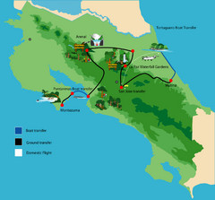
Costa Rica Tour Bus Map
3607 miles away
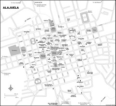
Alajuela City Map
3608 miles away
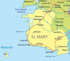
St Mary province Map
3613 miles away
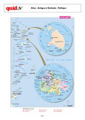
Antigua and Barbuda Regional Map
Map of island with detail of regional divides
3614 miles away
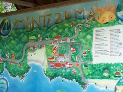
Montezuma Tourist Map
Tourist map of Montezuma, Costa Rica. Shows accomodations and other points of interest. From...
3615 miles away
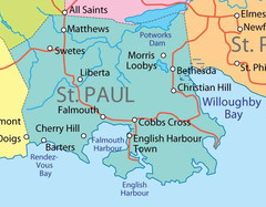
St. Paul province Map
3615 miles away
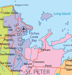
St. Peter and St. George provinces Map
3616 miles away
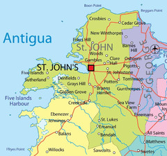
St. John province Map
3617 miles away
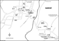
Sarchi Costa Rica Map
3617 miles away
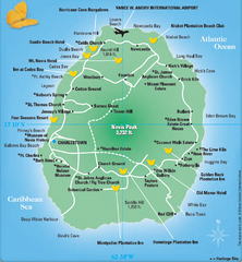
Nevis Tourist Map
Tourist map of Nevis Island, near St. Kitts. Shows inns, villages, and other points of interest.
3625 miles away
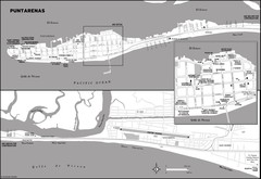
Puntarenas Costa Rica Map
3626 miles away
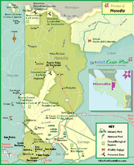
Heredia Tourist Map
Tourist map of Heredia region
3629 miles away

