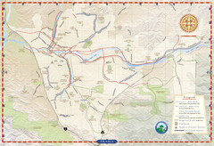
Santa Clarita Trail Map
116 miles away
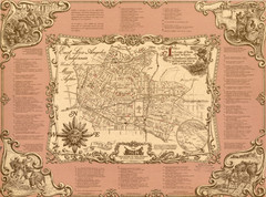
East Los Angeles Murals Map
The Goez Map Guide to the Murals of East Los Angeles, CA
116 miles away
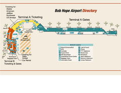
Burbank "Bob Hope" Airport Terminal Map
Official Terminal Map of Bob Hope Airport in Burbank, California. Shows all areas.
116 miles away
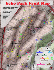
Elysian Park Fruit Map
Shows fruit growing in Elysian Park, Los Angeles (map erroneously calls it Echo Park)
116 miles away
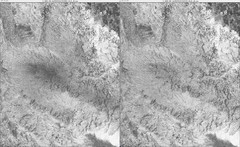
Toro Peak Elevation Map
Created with PALSAR Technology.
117 miles away
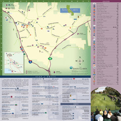
Santa Clarita Tourist Map
Tourist map of Santa Clarita, California
117 miles away

Downtown Anaheim, California Map
Tourist map of Anaheim, California. Shows Disneyland, Anaheim Convention Center, and other points...
117 miles away

Limestone Canyon & Whiting Ranch Wilderness...
117 miles away
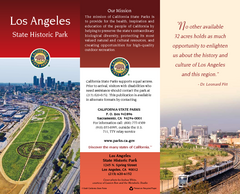
Los Angeles State Historic Park Map
Map of park with detail of trails and recreation zones
117 miles away
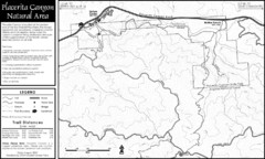
Placerita Canyon Trail Map
117 miles away

Disneyland Theme Park map
Illustrated map of Disneyland in Anaheim, CA showing different theme parks, hotels, and nearby...
118 miles away
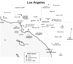
Los Angeles Airport Map
118 miles away
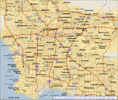
Los Angeles, California City Map
118 miles away
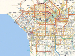
West Los Angeles Starbucks & Chase Map
118 miles away
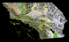
Southern California's Major Faults Map
As you can see by examining a fault map of southern California or a satellite image showing...
118 miles away
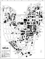
UCLA Map
118 miles away
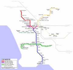
Los Angeles Train Map
118 miles away
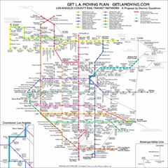
Los Angeles, California Public Transportation Map
118 miles away
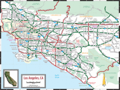
Los Angeles, California Transportation Map
118 miles away

Downtown Los Angeles, California Map
Tourist map of Downtown Los Angeles, California. Shows theaters, museums, public transportation and...
118 miles away
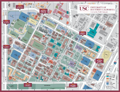
University of Southern California Map
Campus Map of the University of Southern California. All buildings shown.
118 miles away
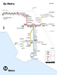
Los Angeles Metro Rail system map
Official map of the LA Metro Rail system. Comprised of the Metro Blue, Green, Red, Purple and Gold...
118 miles away
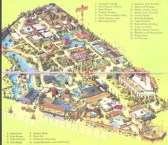
Japanese Village and Deer Park Map
Large and clear map.
118 miles away

Downtown L.A. walking tour map
Walking tour map of Downtoan Los Angeles near the Civic Center, including the Arts District.
118 miles away
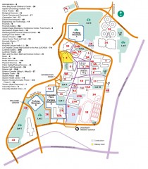
California State University, Los Angeles Map
California State University, Los Angeles Campus Map. All buildings shown.
118 miles away
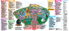
Disneyland Theme Park map
Official map of Disneyland Park. Park includes Main Street USA, New Orleans Square, Frontierland...
118 miles away
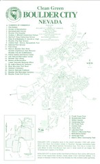
Boulder City Map
Map of Boulder City, Nevada. Shows points of interest and parks.
118 miles away
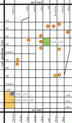
Downtown L.A. arts tour map
Self-Guided walking tour map of Downtown Los Angeles with a focus on the arts
118 miles away

Anaheim Resort Map
Anaheim Resort Map, shows locations of Disneyland Theme Parks, and all restaurants, hotels, grocery...
118 miles away
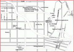
Hollywood, Silverlake, and Echo Park gallery map
Art Gallery map of Hollywood, Silverlake, and Echo Park in Los Angeles, California
118 miles away
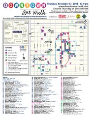
Downtown Art-Walk Map
The Downtown LA Art Walk, held every Thursday.
118 miles away
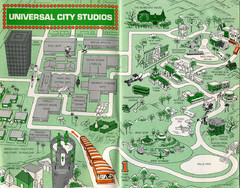
1966 Universal Studios Guide Map
119 miles away
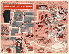
1968 Universal Studios Guide Map
A 1968tour guide map of Universal Studios
119 miles away
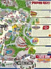
Universal Studios in Hollywood Tourist Map
Features and landmarks at Universal Studios in Hollywood, CA
119 miles away
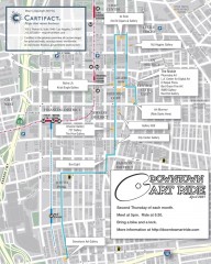
Artride Bicycle Map of Museums and Galleries
Map of a bicycle tour of the galleries and Museums in Downtown Los Angeles.
119 miles away
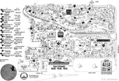
Knott's Berry Farm, Halloween 1976 Map
119 miles away
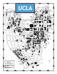
University of California - Los Angeles Map
Campus Map of the University of California - Los Angeles. All buildings shown.
119 miles away
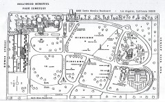
Hollywood Memorial Cemetery map
Map of Hollywood memorial Cemetery, showing celebrity gravesites.
119 miles away
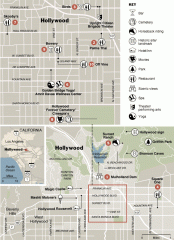
Hollywood map
Walking tour map of Hollywood, California, showing restaurants, shopping, and points of interest.
119 miles away
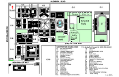
Cerritos College Campus Map
Cerritos College Campus Map. Shows all areas.
119 miles away

