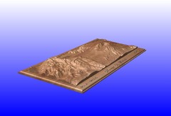
Mount St. Helens carved in wood by carvedmaps.com...
Mount St. Helens carved in wood by carvedmaps.com
130 miles away
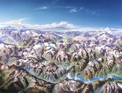
North Cascades National Park Oblique Map
Oblique map looking across Ross Damn, and Diablo Lake towards Seattle
131 miles away
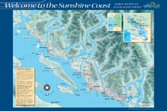
Sunshine Coast Recreation Map
Recreation map of the Sunshine Coast in BC. Shows trails for hiking (in yellow) and mountain...
131 miles away
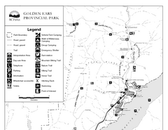
Golden Ears Provincial Park Map
Park map of Golden Ears Provincial Park, BC. 2 pages.
133 miles away
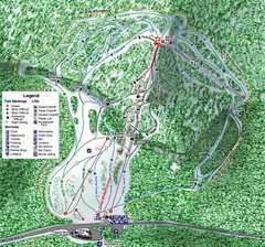
White Pass Ski Area Ski Trail Map
Trail map from White Pass Ski Area, which provides downhill, nordic, and terrain park skiing. It...
133 miles away
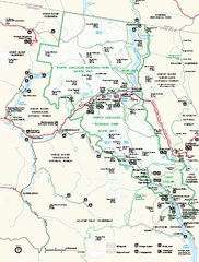
North Cascades National Park map
Official NPS map of North Cascades National Park, Washington. Shows the entire park and...
134 miles away
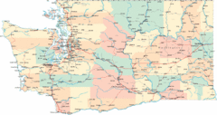
Washington Road Map
Road map of state of Washington
134 miles away
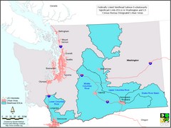
Washington Steelhead Salmon Map
Shows federally listed steelhead salmon evolutionarily significant units in Washington state.
134 miles away
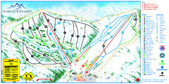
Hemlock Resort Ski Trail Map
Trail map from Hemlock Resort, which provides downhill and terrain park skiing. It has 4 lifts...
135 miles away
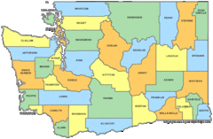
Washington State Counties Map
136 miles away
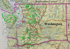
Washington State Road and Recreation Map
136 miles away
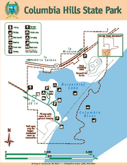
Columbia Hills State Park Map
Map of park with detail of trails and recreation zones
136 miles away
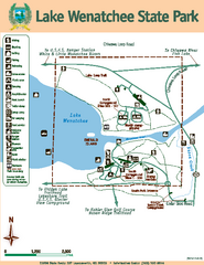
Lake Wenatchee State Park Map
Map of island with detail of trails and recreation zones
136 miles away
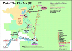
Pedal the Pinchot Bike Ride Route Map
Route Map for the Pedal the Pinchot 99 bike ride - annotated on a Park trail map.
136 miles away
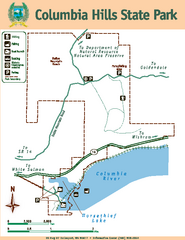
Columbia Hills State Park Map
Map of park with detail of trails and recreation zones
137 miles away

BANKS-VERNONIA STATE TRAIL Map
140 miles away
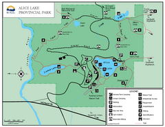
Alice Lake Provincal Park Map
140 miles away
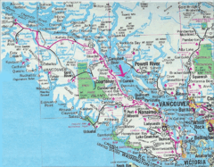
Vancouver Island Road Map
144 miles away
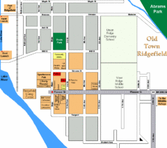
Guide Map of Old Town Ridgefield
Guide Map of Old Town Ridgefield, Washington
144 miles away
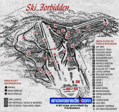
Pre-1999 Forbidden Plateau Map #2
Trail map from Forbidden Plateau.
146 miles away
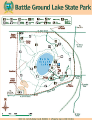
Battle Ground Lake State Park Map
Map of park with detail of trails and recreation zones
148 miles away
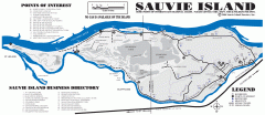
Sauvie Island tourist map
Tourist map of Sauvie Island in Oregon. Shows all businesses and points of interest.
148 miles away
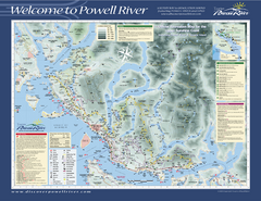
Upper Sunshine Coast Recreation Map
Recreation map of Upper Sunshine Coast in BC. Shows hiking trails, kayaking and canoeing routes...
151 miles away
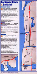
Rockaway Beach Map
151 miles away
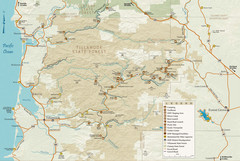
Tillamook State Forest Map
Recreation map of Tillamook State Forest. Over 60 miles of non-motorized trails and 150 miles of...
153 miles away
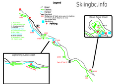
Manning Park Resort 2004–07 Manning Park...
Trail map from Manning Park Resort, which provides downhill and nordic skiing. It has 4 lifts...
154 miles away
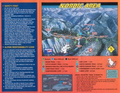
Manning Park Resort 2004–07 Manning Park Cross...
Trail map from Manning Park Resort, which provides downhill and nordic skiing. It has 4 lifts...
154 miles away
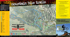
Mt. Washington Resort Summer Mountain Biking Ski...
Trail map from Mt. Washington Resort, which provides downhill and nordic skiing.
154 miles away
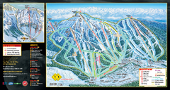
Mt. Washington Resort Ski Trail Map
Trail map from Mt. Washington Resort, which provides downhill and nordic skiing.
154 miles away
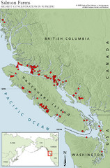
BC Salmon Farms Map
Shows fishfarms in BC around Vancouver Island, highest concentration of fish farms in North Pacific
155 miles away
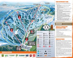
Mission Ridge Ski Trail Map
Official ski trail map of Mission Ridge ski area from the 2007-2008 season.
156 miles away
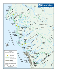
Flores Island Provincial Park Area Map
Park map of area around Flores Island Provincial Park, BC in the Clayoquot Sound. Flores Island is...
156 miles away
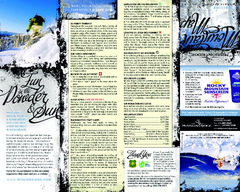
Mission Ridge Ski Area Ski Trail Map
Trail map from Mission Ridge Ski Area, which provides downhill, night, and terrain park skiing. It...
156 miles away
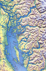
Northern Gulf Map
Map of Northern Gulf Islands
156 miles away
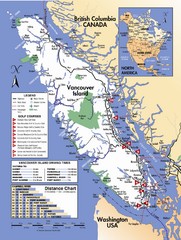
Vancouver Island Road Map
156 miles away
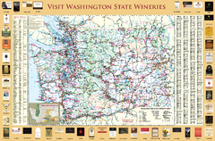
Washington State Winery Map
Washington State Winery Map
158 miles away
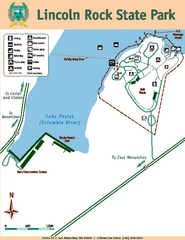
Lincoln Rock State Park Map
159 miles away
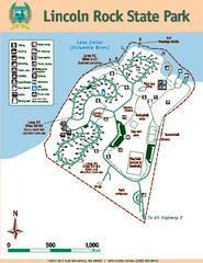
Lincoln Rock State Park Map
Map of park with detail of trails and recreation zones
159 miles away
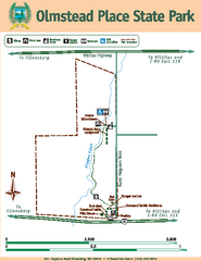
Olmstead Place State Park Map
Map of park with detail of trails and recreation zones
160 miles away
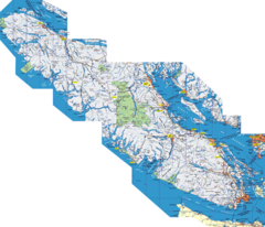
Vancouver Island Map
Detailed map of Vancouver Island, British Columbia. Shows towns, roads, and parks.
160 miles away

