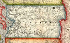
Snohomish County Washington, 1909 Map
80 miles away
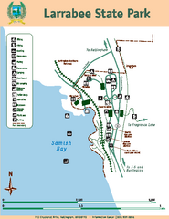
Larrabee State Park Map
Map of island with detail of trails and recreation zones
81 miles away
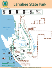
Larrabee State Park Map
Park map of Larrabee State Park, Washington.
81 miles away
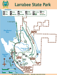
Larrabee State Park Map
Map of island with detail of trails and recreation zones
81 miles away

Skagit County Washington, 1909 Map
81 miles away
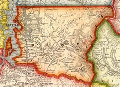
King County Washington, 1909 Map
82 miles away
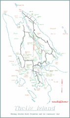
Thetis Island Map
Thetis Island map showing roads, properties, and the community trail.
83 miles away
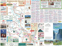
Snoqualmie Valley tourist map
Tourist map of the Snoqualmie Valley, Washington. Shows all businesses.
83 miles away
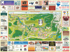
Snoqualmie tourist map
Snoqualmie, Washington tourist map. Shows all businesses.
84 miles away
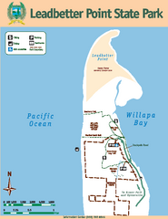
Leadbetter Point State Park Map
Map of park with detail of recreation zones and trails
84 miles away
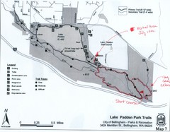
Lake Padden Park Trails Map
Course Elevation Map noted in handwriting on map. Festival location noted as well.
84 miles away
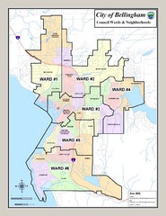
Bellingham Ward Map
Guide to wards in Bellingham, WA
85 miles away
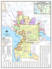
Bellingham, Washington City Map
86 miles away
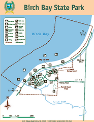
Birch Bay State Park Map
Map of park with detail of trails and recreation zones
86 miles away
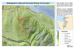
Bellingham Galbraith Mountain Biking Trail Map
Mountain biking trail map of Whatcom Falls Park near Bellingham, WA
87 miles away
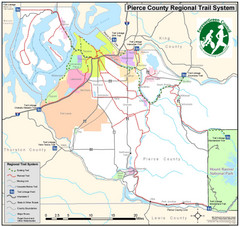
Pierce County Regional Trail Map
County-wide system of trails
87 miles away
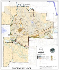
Snoqualmie Trail Map
Shows both soft surface and paved trails for biking, running/hiking/wailking, and horseback riding
87 miles away
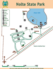
Nolte State Park Map
Map of park with detail of trails and recreation zones
88 miles away
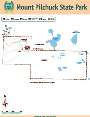
Mount Pilchuck State Park Map
Map of park with detail of trails and recreation zones
88 miles away
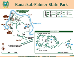
Kanaskat-Palmer State Park Map
Map of park with detail of trails and recreation zones
88 miles away

Pierce County Washington Map, 1909 Map
89 miles away
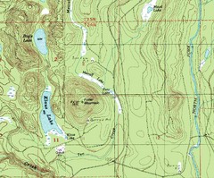
Fuller Mountain Topo Map
Fuller Mountain map with lakes, mountains and elevations identified.
90 miles away
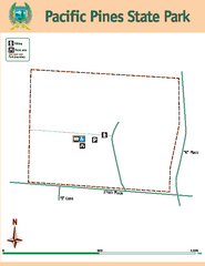
Pacific Pines State Park Map
Map of park with detail of trails and recreation zones
91 miles away
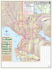
Bellingham, Washington City Map
93 miles away
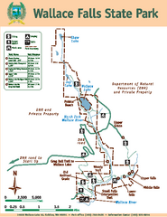
Wallace Falls State Park Map
Map of park with detail of trails and recreation zones
93 miles away
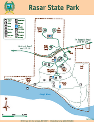
Rasar State Park Map
Map of park with detail of trails and recreation zones
95 miles away
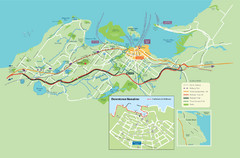
Nanaimo City Map
Map of Nanaimo, BC. Shows trails and parks.
96 miles away
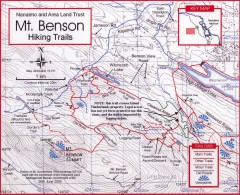
Mt. Benson Hiking Trail Map
Show hiking trails in the Nanaimo and Area Land Trust containing Mt. Benson. Also shows roads and...
96 miles away
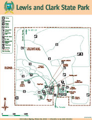
Lewis and Clark State Park Map
Map of park with detail of recreation zones and trails
96 miles away
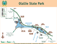
Olallie State Park Map
Map of park with detail of trails and recreation zones
97 miles away
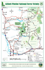
Gifford Pinchot National Forest Vicinity Map
Gifford Pinchot National Forest and surrounding areas including Mt. St Helens.
97 miles away
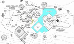
Lynden City Park Map
97 miles away
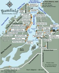
Bamfield Tourist Map
99 miles away
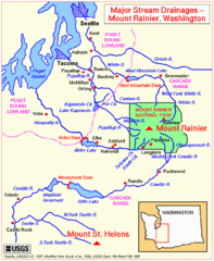
Mount Rainier Major Stream Drainages Map
100 miles away
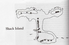
Shack Island Map
Illustration taken from the book "Shack Island" by Ruth English Matson. 2004.
100 miles away
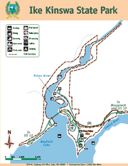
Ike Kinswa State Park Map
Map of park with detail of trails and recreation zones
100 miles away
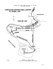
Vancouver Locational Map
Visitor Information Map includes directions from the Vancouver International Airport to the...
102 miles away
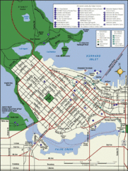
Vancouver Tourist Map
Tourist map of downtown Vancouver
103 miles away
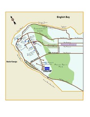
Downtown Vancouver Map
103 miles away
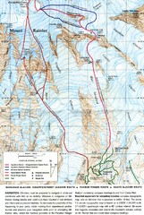
Mount Rainier Topo Map
Map of Mount Rainier Ascent. We ascended the "Muir Snowfield" and then went up the "...
104 miles away

