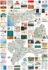
Kirkland tourist map
Kirkland, Washington tourist map. Shows all businesses.
68 miles away
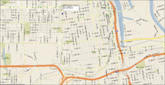
Tacoma, Washington City Map
68 miles away
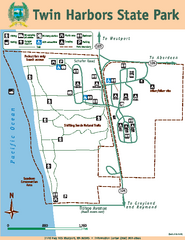
Twin Harbors State Park Map
Map of park with detail of trails and recreation zones
68 miles away
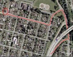
19th and Walnut in Everett, WA Map
69 miles away
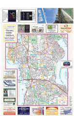
Bellevue tourist map
Tourist map of Bellevue, Washington. Shows all businesses.
70 miles away
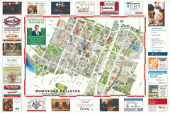
Tourist map of Downtown Bellevue
Tourist map of Downtown Bellevue, Washington. Shows all businesses.
70 miles away
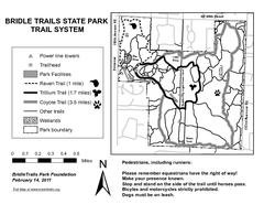
Bridle Trails State Park Map
70 miles away
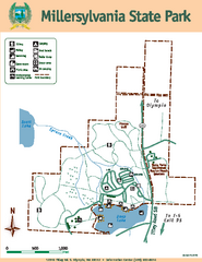
Millersylvania State Park Map
Map of park with detail of trails and recreation zones
70 miles away

Woodinville tourist map
Tourist map of Woodinville, Washington. Shows all businesses.
70 miles away
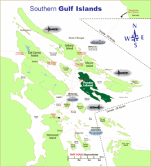
Southern Gulf Islands Map
Map of the region. Shows ferry routes.
70 miles away
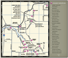
Woodinville Wine Country Map
Map of wineries in the Woodinville, WA area
71 miles away
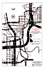
Renton WA Traffic Flow Map
City of Renton, WA traffic flow map
71 miles away

Greater Kirkland tourist map
Tourist map of Greater Kirkland, Washington. Shows all businesses.
71 miles away
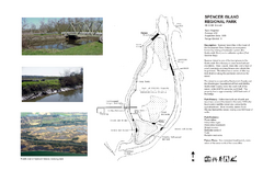
Spencer Island Park map
71 miles away
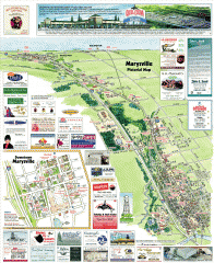
Marysville tourist map
Tourist map of Marysville, Washington. Shows all businesses.
71 miles away
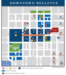
Downtown Bellevue Map
Driving Directions and Downtown Map
71 miles away
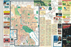
Redmond Area tourist map
Tourist map of the Redmond Area on Washington. Shows all businesses.
71 miles away
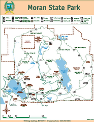
Moran State Park Map
Map of park with detail of trails and recreation zones
71 miles away
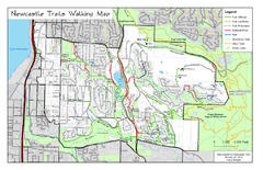
Newcastle Trails Trail Map
Trail map of existing and proposed trails in Newcastle, WA
72 miles away
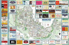
Redmond tourist map
Tourist map of Redmond, Washington. Shows all businesses.
72 miles away

Shadowrun Redmond Map
72 miles away
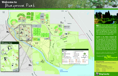
Marymoor Park Map
73 miles away
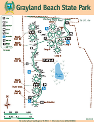
Grayland Beach State Park Map
Map of park with detail of trails and recreation zones
73 miles away
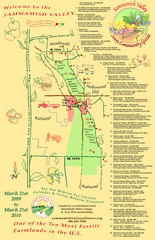
Sammamish Valley Guide Map
73 miles away
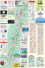
Milton tourist map
Tourist map of Milton, Washington. Shows all businesses.
73 miles away
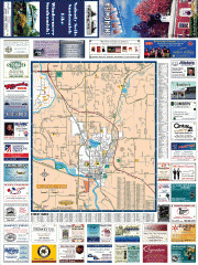
Snohomish tourst map
Tourist map of Snohomish, Washington. Shows all businesses.
73 miles away
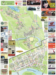
Snohomish tourist map
Snohomish, Washington tourist map. Shows all businesses.
73 miles away

Arlington and Smokey Point tourist map
Tourist map of Arlington and Smokey Point, Washington. Shows all businesses.
73 miles away
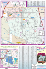
Milton and Edgewood tourist map
Tourist map of Milton and Edgewood, Washington. Shows all businesses.
74 miles away
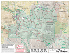
Cougar Mountain Park Trail Map
Trail map of Cougar Mountain Regional Wildland Park, part of the "Issaquah Alps"
75 miles away
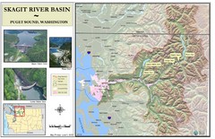
Skagit River Map
Skagit River Basin Overview Map (Pink shading is the FEMA 100 Year Flood)
75 miles away
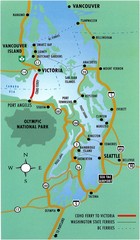
British Columbia, Canada Tourist Map
76 miles away
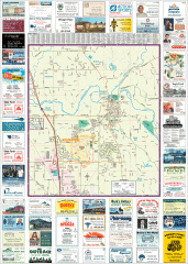
Arlington tourist map
Tourist map of Arlington, Washington. Shows all businesses.
76 miles away

Centennial Trail Map
Centennial Trail has 23 miles completed (Snohomish to Bryant) with more in progress.
76 miles away
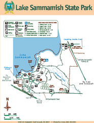
Lake Sammamish State Park Map
Map of island with detail of trails and recreation zones
76 miles away

Centennial Trail Map
77 miles away
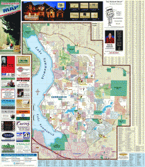
Sammamish tourist map
Tourist map of Sammamish, Washington. Shows all businesses.
77 miles away
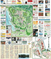
Sammamish tourist map
Sammamish, Washington tourist map. Shows all businesses.
77 miles away
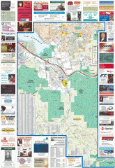
Issaquah tourist map
Issaquah, Washington tourist map. Shows all businesses.
77 miles away
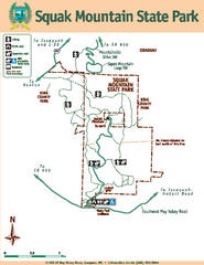
Squak Mountain State Park Map
Map of park with detail of trails and recreation zones
78 miles away

