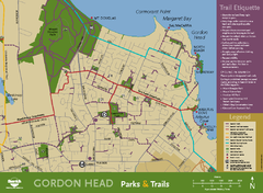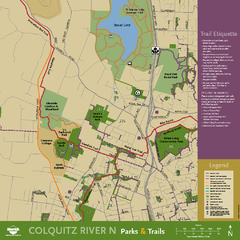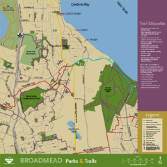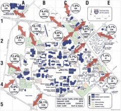
UVic Bicycle Access Patterns 2010 Map
Showing bicycle usage statistics
49 miles away
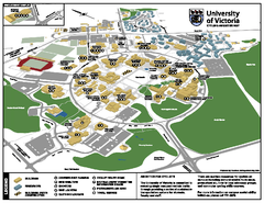
University of Victoria - Cycling Amenities Map
Showing the various cycling related amenities ie. Covered Bicycle Parking, bicycle lockers...
49 miles away
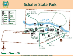
Schafer State Park Map
Map of park with detail of trails and recreation zones
49 miles away
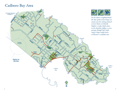
Cadboro Bay Area Map
49 miles away
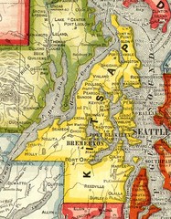
Kitsap County Washington, 1909 Map
49 miles away
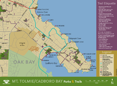
Mt. Tolmie & Cadboro Bay Map
Section of larger map, showing Seaside Touring Route and other regional and local cycling routes...
49 miles away
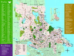
Full Map of Saanich Parks & Trails 2012
Full Map of Saanich Parks & Trails 2012
50 miles away
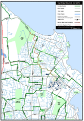
Cycling routes to UVic Map
Bike Route Map of Local Area around UVic © 2007, University of Victoria Updated 17 April...
50 miles away
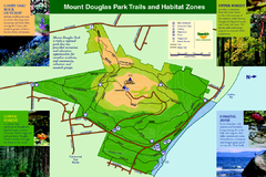
Mount Douglas Park Trails and Habitat Zones Map
50 miles away
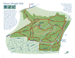
Mount Douglas Park Map
51 miles away
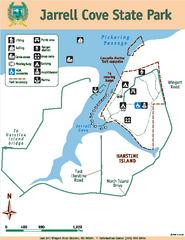
Jarrell Cove State Park Map
Map of park with detail of trails and recreation zones
51 miles away
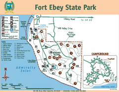
Fort Ebey State Park Map
Map of park with detail of trails and recreation zones
51 miles away

Galloping Goose and Lochside Regional Trails Map
51 miles away
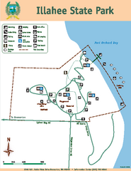
Illahee State Park Map
Map of park with detail of trails and recreation zones
51 miles away
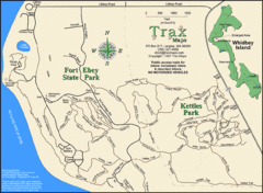
Ft Ebey/Kettle Park Trail Map
Trail map of Fort Ebey Park and Kettle Park, Washington
51 miles away

3-D Panoramic Map of the Puget Sound
A 3D panoramic map of a view from a private residence over Puget Sound toward the Olympic mountains.
52 miles away
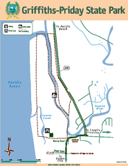
Griffiths-Priday State Park Map
Griffiths-Priday State Park
53 miles away
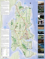
Bainbridge Island Hiking and Biking Map
Shows trails and bike routes on Bainbridge Island, Washington in the Puget Sound. Also shows...
53 miles away

Coupeville tourist map
Tourist map of Coupeville, Washington. Shows all businesses.
54 miles away
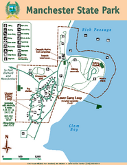
Manchester State Park Map
Map of park with detail of trails and recreation zones
54 miles away
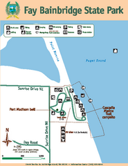
Fay Bainbridge State Park Map
Map of park with detail of trails and recreation zones
54 miles away
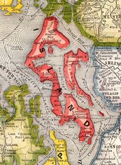
Island County Washington, 1909 Map
54 miles away
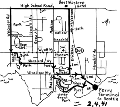
Bainbridge Walking Map
From Seattle Ferry Terminal, take the Bainbridge Ferry to Winslow. The walk is 4 miles with...
54 miles away

Whidbey Island tourist map
Tourist map of Whidbey Island and Coupeville, Washington. Shows all businesses.
54 miles away
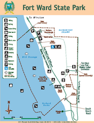
Fort Ward State Park Map
Map of park with detail of trails and recreation zones
55 miles away
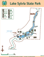
Lake Sylvia State Park Map
Map of island with detail of trails and recreation zones
55 miles away
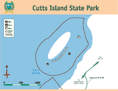
Cutts Island Stay Park Map
Map of park with detail of trails and recreation zones
56 miles away
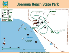
Joemma Beach State Park Map
Map of park with detail of trails and recreation zones
56 miles away
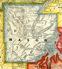
Mason County Washington, 1909 Map
56 miles away
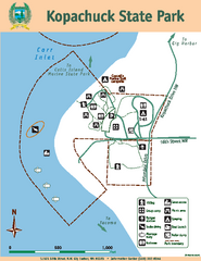
Kopachuck State Park Map
Map of island with detail of trails and recreation zones
56 miles away
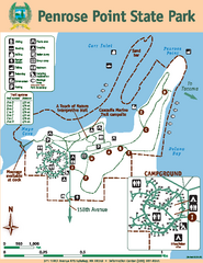
Penrose Point State Park Map
Map of park with detail of trails and recreation zones
57 miles away
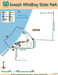
Joseph Whidbey State Park Map
Map of park with detail of trails and recreation zones
57 miles away

rthsaanich.ca District Map
57 miles away
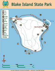
Blake Island State Park Map
Map of park with detail of trails and recreation zones
57 miles away

South Whidbey tourist map
Tourist map of South Whidbey, Washington. Shows all businesses.
57 miles away

South Whidbey Island tourist map
Tourist map of South Whidbey Island, Washington. Shows all businesses.
57 miles away
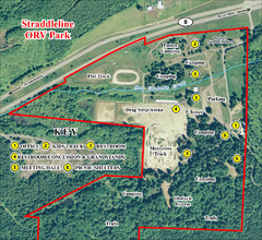
Grays Harbor County Straddleline ORV Park...
Park Map near Olympia
58 miles away

