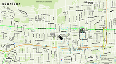
Downtown Montreal Map
Street map of central Montreal. Shows access to the metro and commuter train
234 miles away
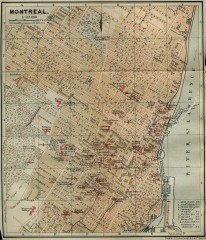
Antique map of Montreal from 1894
"Montreal" from Baedeker, Karl. The Dominion of Canada with Newfoundland and an Excursion...
235 miles away
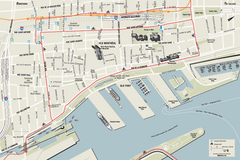
Old Montreal and Old Port Bike Map
Bike route map of Old Montreal and Old Port area
235 miles away
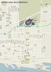
Hochelaga-Maisonneuve Map
235 miles away
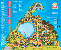
Six Flags La Ronde Theme Park Map
Official Park Map of Six Flags La Ronde Theme Park in Montreal, Quebec.
236 miles away
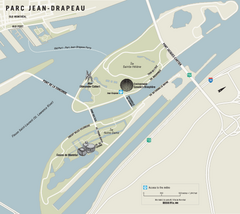
Parc Jean Drapeau Map
Park map of Parc Jean Drapeau in the St. Lawrence River, Montreal
236 miles away
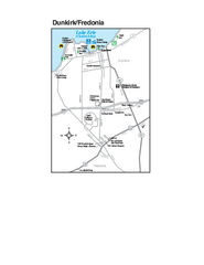
Dunkirk and Fredonia, New York Map
Tourist map of Dunkirk, New York, and Fredonia, New York. Shows shops, parks, lodging and other...
237 miles away
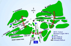
Kamiskotia Ski Resort Ski Trail Map
Trail map from Kamiskotia Ski Resort, which provides downhill skiing. This ski area has its own...
238 miles away

Song Mountain Ski Trail Map
Trail map from Song Mountain.
239 miles away
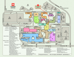
Fanshawe College Map
Campus map of London Campus
239 miles away
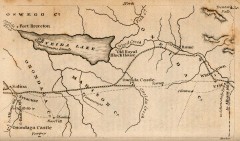
Antique map of Utica, NY from 1830
Map of Utica, NY from The Northern Traveller, and Northern Tour; with the Routes to The Springs...
240 miles away
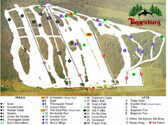
Toggenburg Ski Center Ski Trail Map
Trail map from Toggenburg Ski Center.
240 miles away
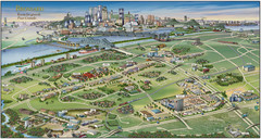
Pictorial map of Brossard
Brossard pictorial map
241 miles away
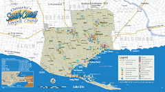
Norfolk County Tourist Map
Tourist map of Norfolk County, Ontario.
241 miles away
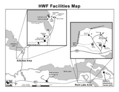
Adirondack Map
Map of Adirondack Park Reserve. Shows Rich Lake Area, Arbutus Area, and the location of the...
242 miles away
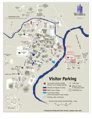
University of Western Ontario Map
Campus map
242 miles away
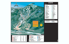
Whiteface Ski Trail Map
Official ski trail map of Whiteface 2006-2007 season.
242 miles away
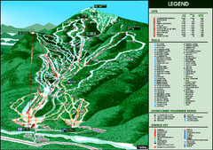
Whiteface Mountain—Lake Placid Ski Trail Map
Trail map from Whiteface Mountain—Lake Placid.
243 miles away

Bath-Hornell Bus Route Map
243 miles away
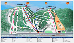
Labrador Mountain Ski Trail Map
Trail map from Labrador Mountain.
243 miles away
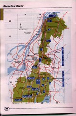
Richelieu River Guide Map
244 miles away
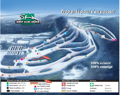
Mont Saint-Bruno Ski Trail Map
Trail map from Mont Saint-Bruno, which provides downhill skiing. This ski area has its own website.
245 miles away
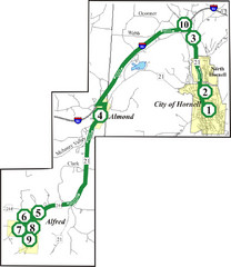
Alfred-Hornell Bus Route Map
246 miles away
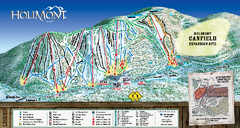
HoliMont Ski Trail Map
Trail map from HoliMont.
247 miles away
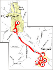
Canisteo-Hornell Bus Route Map
247 miles away
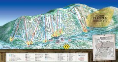
Holimont Ski Trail Map
Official ski trail map of Holimont ski area from the 2006-2007 season.
247 miles away
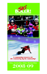
London Ski Club at Boler Mountain and Brochure...
Trail map from London Ski Club at Boler Mountain, which provides downhill skiing. This ski area has...
247 miles away
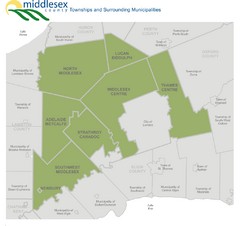
Middlesex County Map
Guide to Middlesex County and surrounds
247 miles away
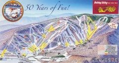
Holiday Valley Ski Trail Map
Official ski trail map of Holiday Valley ski area from the 2007-2008 season.
247 miles away
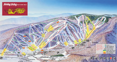
Holiday Valley Resort Ski Trail Map
Trail map from Holiday Valley Resort.
248 miles away

Pat Mcgee Trail Map
248 miles away

Holiday Valley and Holimont Ski Area Map
WNYMBA - Mountain bike trail guide to ski area
248 miles away
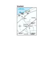
Westfield Map
Tourist map of Westfield, New York, and surrounding area. Shows shops, museums, boat ramps and...
249 miles away
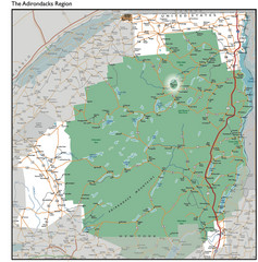
Adirondacks Lakes Map
Guide to lakes and waterways in the Adirondacks Park Preserve
249 miles away
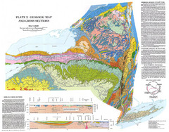
New York State Geologic Map
1:1,000,000 scale geological map of New York State
250 miles away
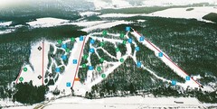
Cockaigne Ski Resort Ski Trail Map
Trail map from Cockaigne Ski Resort.
250 miles away
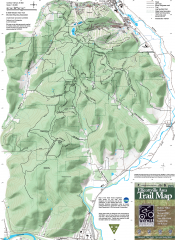
Ellicottville Area Trail Map
Shows mountain biking trails in the Holiday/Holimont/McCarty Hill/Rock City area south of...
250 miles away
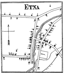
Etna 1897 City Map
Key to the Map of Etna (1897) 1. Mrs. C. Turner. 38. Blacksmith Shop. 2. J. T. Primrose. 39. Houtz...
252 miles away
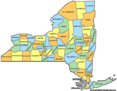
New York Counties Map
252 miles away
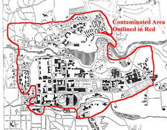
Map of Water contamination at Cornell University...
252 miles away

