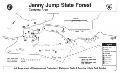
Jenny Jump State Forest map
Trail and camping map of Jenny Jump State Forest in New Jersey.
382 miles away
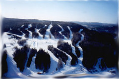
Mont Fortin Ski Trail Map
Trail map from Mont Fortin. This ski area has its own website.
382 miles away
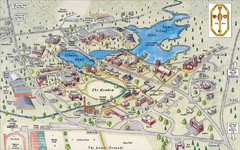
St. Paul's School Campus Map
Campus map of St. Paul's School
382 miles away
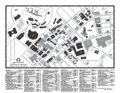
University of Pittsburgh - Main Campus Map
University of Pittsburgh - Main Campus Map. All buildings shown.
382 miles away
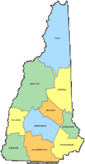
New Hampshire Counties Map
382 miles away
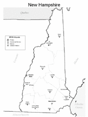
New Hampshire Airports Map
382 miles away
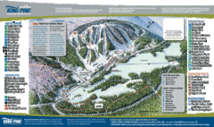
King Pine Ski Area Ski Trail Map
Trail map from King Pine Ski Area.
383 miles away
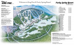
King Pine Ski trail Map
Official ski trail map of King Pine ski area from the 2006-2007 season.
383 miles away
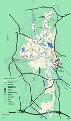
Otter River State Forest winter trail map
Winter usage trail map for Otter River State Park in Massachusetts.
383 miles away
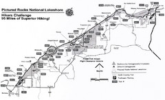
Pictured Rocks Hikers Challange Map
Hiking trail map of Hikers Challenge
383 miles away
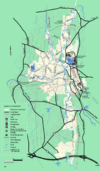
Otter River State Forest summer trail map
Summer trail map of the Otter River State Forest area in Massachusetts.
383 miles away
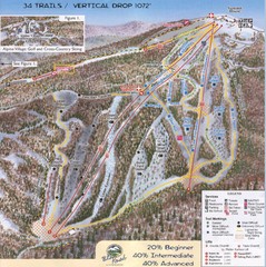
Blue Knob Four Seasons Ski Trail Map
Trail map from Blue Knob Four Seasons.
383 miles away
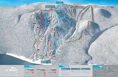
Le Massif Ski Trail Map
Trail map from Le Massif, which provides downhill and nordic skiing. This ski area has its own...
383 miles away
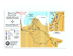
Mount Tom State Park trail map
Trail map of Mt. Tom State Park in Connecticut.
383 miles away
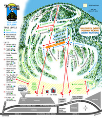
Thunder Ridge Ski Trail Map
Trail map from Thunder Ridge.
384 miles away
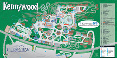
Kennywood Theme Park Map
"America's Finest Traditional Amusement Park" is the slogan for this fun, high rated...
384 miles away
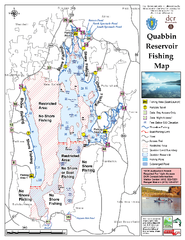
Quabbin Reservoir Fishing Map
Fishing access map of Quabbin Reservoir. Shows all ponds and submerged ponds.
384 miles away
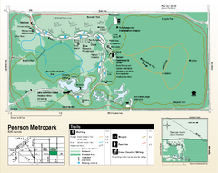
Pearson Metropark Map
384 miles away

Blue Knob State Park Map
Detailed recreation map for Blue Knob State Park in Pennsylvania
385 miles away
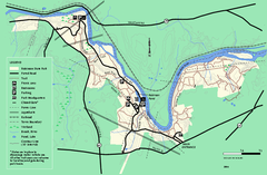
Robinson State Park trail map
Trail map of Robinson State Park in Massachusetts.
385 miles away
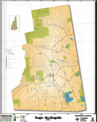
Temple NH Topo Map
Topographical map of Temple, NH area. Shows all roads and points of interest.
385 miles away
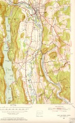
New Milford, Connecticut Map
New Milford, Connecticut topo map with roads, streets and buildings identified
385 miles away
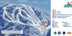
Ski Sundown Ski Trail Map
Trail map from Ski Sundown, which provides downhill and night skiing. It has 5 lifts servicing 15...
385 miles away
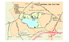
Memorial Lake State Park map
Detailed map of Memorial Lake State Park in Pennsylvania
385 miles away
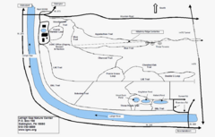
Trails Around Lehigh, PA Map
385 miles away
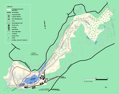
Chicopee State Park trail map
Chicopee State Park trail map
385 miles away

Topsmead State Forest map
Trail map for Topsmead State Forest in Connecticut.
385 miles away
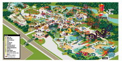
Six Flags New England Theme Park Map
Official Park Map of Six Flags New England in Massachusetts.
386 miles away
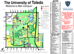
The University of Toledo Map
The University of Toledo Campus Map. All buildings shown.
387 miles away
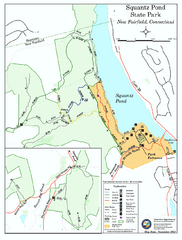
Squantz Pond State Park map
Trail and campground map for Squantz Pond State Park in Connecticut.
387 miles away

Colonel Denning State Park map
Detailed map of Colonel Dening State Park in Pennsylvania
387 miles away
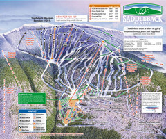
Saddleback Ski Area Ski Trail Map
Trail map from Saddleback Ski Area.
387 miles away
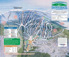
Saddleback Ski Trail Map
Official ski trail map of Saddleback Mountain ski area from the 2006-2007 season.
387 miles away
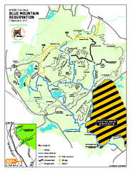
Blue Mountain Reservation Mountain Bike Trail Map
Mountain biking map of the Blue Mountain Reservation from the Westchester Mountain Biking...
387 miles away
Mt. Watatic to Wachusett Mountain, Massachusetts...
388 miles away
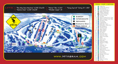
Mt. Abram Ski Resort Ski Trail Map
Trail map from Mt. Abram Ski Resort.
388 miles away
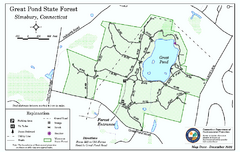
Great Pond State Park trail map
Trail map of Great Pond State Forest in Connecticut.
388 miles away
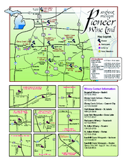
Pioneer Wine Trail Map
Tourist map of the Pioneer Wine Trail in Southeast Michigan. Shows wineries, vineyards, lodging and...
388 miles away
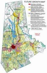
Danbury Regional Growth Map
Guide to future growth of Danbury, CT and surrounds
388 miles away

