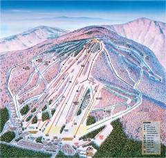
Cranmore Ski Trail Map
Official ski trail map of Cranmore Mountain ski area from the 2007-2008 season.
377 miles away
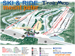
Mt. Peter Ski Area Ski Trail Map
Trail map from Mt. Peter Ski Area.
378 miles away
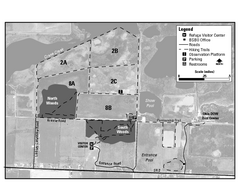
Ottawa National Wildlife refugee Map
378 miles away
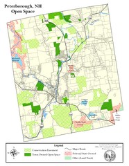
Peterborough Open Space Map
Map of open space lands in Peterborough, New Hampshire
378 miles away
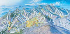
Sunday River Ski Trail map 2006-07
Official ski trail map of Sunday River ski area from the 2006-2007 season.
378 miles away
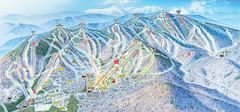
Sunday River Ski Resort Ski Trail Map
Trail map from Sunday River Ski Resort.
378 miles away
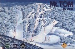
Mount Tom Ski Trail Map
Trail map from Mount Tom, which provides downhill skiing. This ski area opened in 1962.
379 miles away

South Manitou Island Map
379 miles away
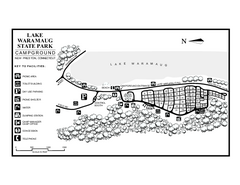
Lake Waramaug State Park campground map
Campground map of Lake Waramaug State Park.
379 miles away

Empire Michigan Map
379 miles away
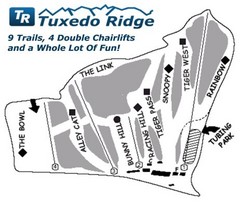
Tuxedo Ridge Ski Trail Map
Trail map from Tuxedo Ridge.
380 miles away
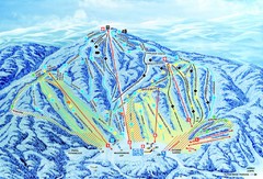
Gunstock Ski Area Ski Trail Map
Trail map from Gunstock Ski Area.
380 miles away
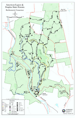
American Legion State Forest trail map
Trail map of American Legion and Peoples State Forests in Connecticut.
380 miles away
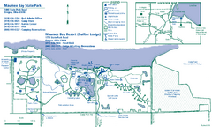
Maumee Bay State Park Map
380 miles away
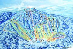
Gunstock Ski Trail Map
Ski trail map of Gunstock Mountain ski area
380 miles away
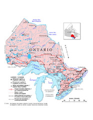
Ontario Map
Overview map of Ontario, Canada
380 miles away
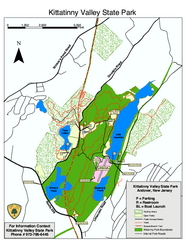
Kittatinny Valley State Park trail map
Trail map of Kittatinny Valley State Park in New Jersey. Shows hunting areas and trails.
380 miles away
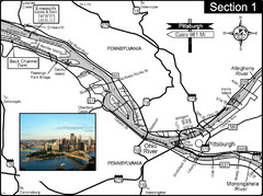
Ohio River at Pittsburgh, PA at the confluence of...
This is a page from the Ohio River Guidebook. The Ohio River begins at this confluence. This map...
380 miles away
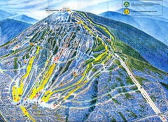
Sugarloaf Trail Map
Ski trail map of Sugarloaf mountain
380 miles away
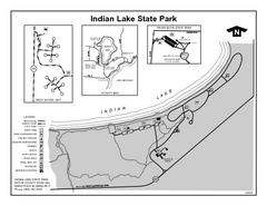
Indian Lake State Park, Michigan Site Map
380 miles away
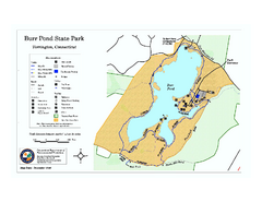
Burr Pond State Park map
Map of Burr Pond State Park in Connecticut.
380 miles away
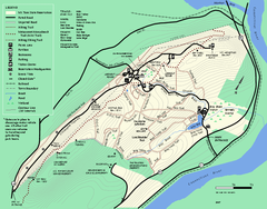
Mt. Tom State Reservation trail map
Trail map of Mt. Tom State Reservation
380 miles away
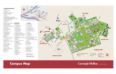
Carnegie Mellon Campus Map
Campus map of Carnegie Mellon University (CMU) in Pittsburgh, PA.
381 miles away
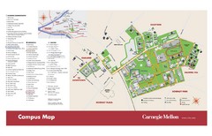
Carnegie Mellon Campus Map
Map of the Carnegie Mellon Campus. Includes all buildings, streets and the location of the campus...
381 miles away
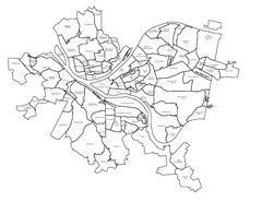
Pittsburgh neighborhoods Map
381 miles away
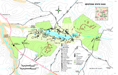
Keystone State Park Map
Detailed recreation map for Keystone State Park in Pennsylvania
381 miles away
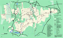
Mount Holyoke Range State Park Map
Trail map of Holyoke Range State Park.
381 miles away
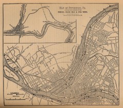
Antique map of Pittsburgh from 1879
"Map of Pittsburgh, Pa. Showing the Location of its Furnaces, Rolling Mills and Steel Works...
381 miles away

Trough Creek State Park map
Detailed recreation map for Trough Creek State Park in Pennsylvania
381 miles away
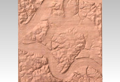
Pittsburgh map carved by CarvedMaps.com
Wood Map of the three rivers area of Pittsburgh, PA. CarvedMaps.com can carve any area within...
381 miles away
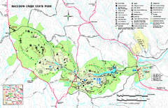
Raccoon Creek State Park Map
Detailed recreation map for Raccoon Creek State Park in Pennsylvania
381 miles away
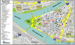
Pittsburgh Tourist Map
382 miles away
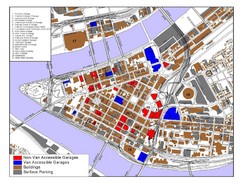
Pittsburgh Tourist Map
382 miles away
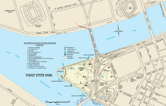
Point State Park Map
Recreation map for Point State Park in Pennsylvania
382 miles away

Downtown Johnstown Map
Downtown Johnstown road and bus route map.
382 miles away
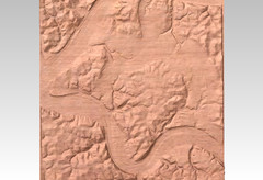
Pittsburgh, PA carved by carvedmaps.com Map
We can carve any location within the United States. Do you have a mountain cabin? We can carve...
382 miles away
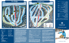
Crystal Mountain Ski Trail Map
Trail map from Crystal Mountain.
382 miles away
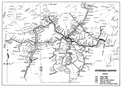
Pittsburgh, Pennsylvania City Map
382 miles away
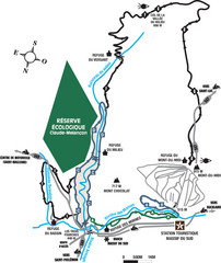
Massif du Sud Nordic Ski Trail Map
Trail map from Massif du Sud, which provides downhill and nordic skiing. This ski area has its own...
382 miles away
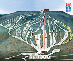
Massif du Sud Ski Trail Map
Trail map from Massif du Sud, which provides downhill and nordic skiing. This ski area has its own...
382 miles away

