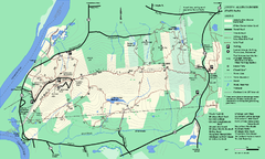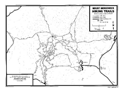
Mount Monadnock State Park Map
Official hiking map of the park. With its thousands of acres of protected highlands, 3,165-ft...
373 miles away

Sleeping Bear Dunes National Lakeshore Map
373 miles away
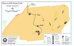
Dennis Hill State Park map
Trail map of Dennis Hill State Park in Connecticut.
373 miles away
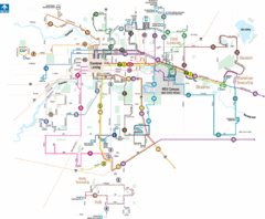
Lansing, Michigan Public Transportation Map
373 miles away

North Manitou Island Map
373 miles away
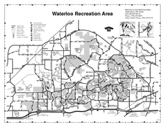
Waterloo State Recreation Area Map
The park is over 20,000 acres and has 4 campgrounds, beaches, picnic areas, 11 fishing lakes...
373 miles away
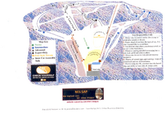
Arrowhead Arrowhead Ski Trail Map
Trail map from Arrowhead.
373 miles away
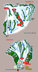
The Homestead Ski Trail Map
Trail map from The Homestead.
373 miles away
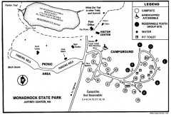
Monadnock State Park map
Campground map of Monadnock State Park in New Hampshire
373 miles away
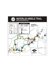
Waterloo State Recreation Area Bridle Trails Map
The Waterloo State Recreation Area has 12 miles of bridle trails and a horse campground.
374 miles away
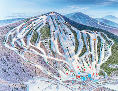
Pats Peak Ski Map
ski trail map of pats peak ski area
374 miles away

Boyd Big Tree Preserve Conservation Area map
Detailed map of Boyd Big Tree Preserve Conservation Area in Pennsylvania.
374 miles away
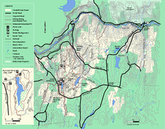
Wendell State Forest trail map
Trail map of Wendell State Forest in Massachusetts.
374 miles away

Glen Arbor MI Map
375 miles away

Glen Arbor MI walking map
375 miles away
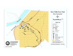
Kent Falls State Park trail map
Trail map of Kent Falls State Park in Connecticut.
375 miles away
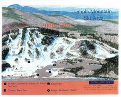
Temple Mountain Last year open—Credited to...
Trail map from Temple Mountain. This ski area opened in 1937.
375 miles away
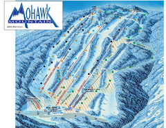
Mohawk Mountain Ski Trail Map
Ski trail map of Mohawk Mountain ski area
375 miles away

North Mohawk Mountain State Forest (Summer Trails...
Summer trail map of the North section of Mohawk Mountain State Forest in Connecticut.
375 miles away

North Mohawk Mountain State Forest (Winter Trails...
Winter trail map for North Mohawk Mountain State Forest in Connecticut.
375 miles away
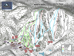
Caberfae Peaks Ski & Golf Resort Ski Trail Map
Trail map from Caberfae Peaks Ski & Golf Resort.
376 miles away
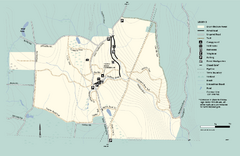
Granville State Forest trail map
Trail map of Granville State Forest in Massachusetts
376 miles away

Mountain Creek South Ski Trail Map
Trail map from Mountain Creek.
376 miles away
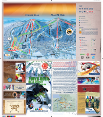
Mountain Creek North Ski Trail Map
Trail map from Mountain Creek.
376 miles away
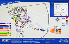
Kent State University Map
376 miles away
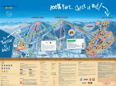
Mountain Creek Ski Trail Map
Official ski trail map of Mountain Creek ski area from the 2007-2008 season. (formerly Vernon...
376 miles away
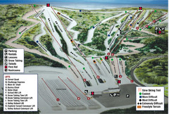
Blue Mountain Ski Area Ski Trail Map
Trail map from Blue Mountain Ski Area.
376 miles away
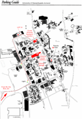
University of Massachusetts Amherst Parking Map
Map of the University of Massachusetts. Includes all buildings, streets, and parking information.
376 miles away
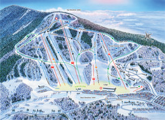
Crotched Mountain Ski Trail Map
Trail map from Crotched Mountain.
376 miles away
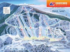
Crotched Mountain Ski Trail Map
Official ski trail map of Crotched Mountain ski area from the 2007-2008 season.
376 miles away
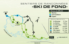
Mont Orignal Ski Trail Map
Trail map from Mont Orignal, which provides downhill and nordic skiing. This ski area has its own...
376 miles away

Hidden Valley Ski Trail Map
Trail map from Hidden Valley.
376 miles away

Little Buffalo State Park map
Detailed map of Little Buffalo State Park in Pennsylvania.
377 miles away
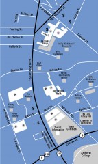
Downtown Amherst, Massachusetts Map
Tourist map of downtown Amherst, Massachusetts, showing attractions, government buildings, atms...
377 miles away
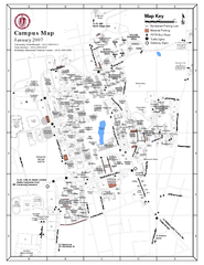
University of Massachusetts - Amherst Map
Campus Map of the University of Massachusetts - Amherst. All buildings shown.
377 miles away

South Mohawk Mountain State Forest (Winter Trails...
Winter trial map for the Southern Section of Mohawk Mountain State Forest in Connecticut.
377 miles away
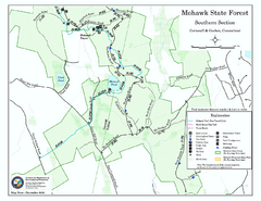
South Mohawk Mountain State Forest (Summer Trails...
Summer trails for South Mohawk State Forest in Connecticut.
377 miles away
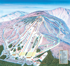
Cranmore Mountain Resort Ski Trail Map
Trail map from Cranmore Mountain Resort.
377 miles away


