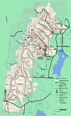
Pittsfield State Forest winter trail map
Winter use trail map of Pittsfield State Forest in Massachusetts.
343 miles away
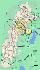
Pittsfield State Forest summer trail map
Summer use trail map of Pittsfield State Forest in Massachusetts.
343 miles away
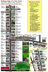
Little Italy Map
Walking tour map with labeled sites.
343 miles away
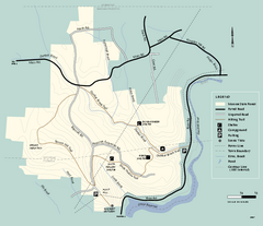
Monroe State Forest trail map
Trail map of Monroe State Forest in Massachusetts.
344 miles away
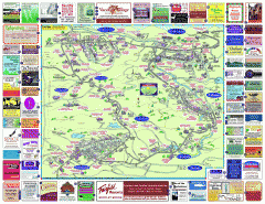
North County Berkshires map
Tourist map of North County - Pittsfield, N. Adams, Adams, Lanesboro, Cheshire, Williamstown...
344 miles away
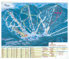
Stoneham Ski Resort Ski Trail Map
Trail map from Stoneham Ski Resort, which provides downhill skiing. This ski area has its own...
344 miles away
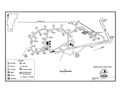
Molly Stark State Park Campground Map
Campground map for Molly State State Park in Vermont
344 miles away
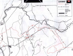
Bethlehem NH Snowmobile Trail Map
Snowmobile trail map of the Bethlehem, NH area along the Ammonoosuc River. Mount Agassiz Trail...
344 miles away
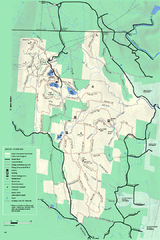
Savoy Mountain winter map
Winter use map of Savoy Mountain in Massachusetts.
345 miles away

Ski Big Bear Ski Trail Map
Trail map from Ski Big Bear.
345 miles away
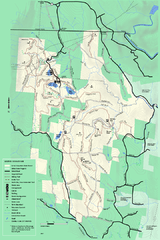
Savoy Mountail trail map
Trail map for Savoy Mountain in Massachusetts.
345 miles away
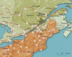
Southern Quebec Tourist Map
346 miles away
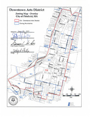
Pittsfield,, Massachusetts City Map
346 miles away
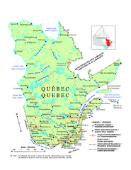
Quebec Political Map
Political map of province of Quebec, Canada. Show capitals, town, and major roads.
346 miles away

Tanglwood Ski Area Ski Trail Map
Trail map from Tanglwood Ski Area, which provides downhill, night, and terrain park skiing. It has...
346 miles away
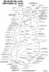
Beaver Island History Map
346 miles away
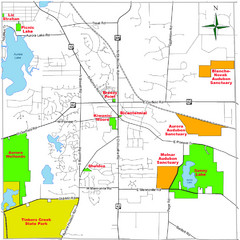
Aurora City Parks Map
Map of city parks in Aurora, Ohio.
346 miles away
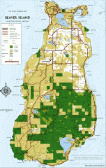
Beaver Island Michigan Map
Map of Beaver Island, Michigan. Created in 1977 by William Cashman and Edward Wojan. From...
346 miles away
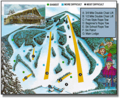
Bousquet Ski Area Ski Trail Map
Trail map from Bousquet Ski Area.
346 miles away
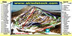
Mont Adstock Ski Trail Map
Trail map from Mont Adstock, which provides downhill skiing. This ski area has its own website.
347 miles away
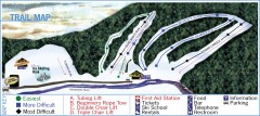
Holiday Mountain Ski Trail Map
Official ski trail map of Holiday Mountain ski area
347 miles away
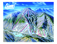
Cannon Mountain Ski Trail map
Ski trail map of Cannon ski area.
347 miles away
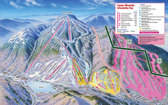
Cannon Mountain Ski Trail Map
Trail map from Cannon Mountain.
347 miles away
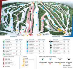
Le Relais Ski Trail Map
Trail map from Le Relais, which provides downhill skiing. This ski area has its own website.
347 miles away
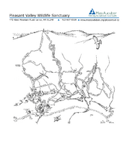
Pleasant Valley Wildlife Sanctuary Trail Map
Trail map of Pleasant Valley Wildlife Sanctuary
347 miles away
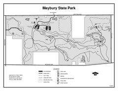
Maybury State Park, Michigan Site Map
347 miles away

Poets Walk Trail Map
Guide to Poet's Walk and Hudson River Overlook
347 miles away
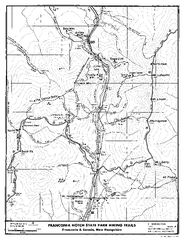
Franconia Notch Hiking Map
Map of hiking trails around Fanconia Notch State Park New Hampshire.
348 miles away
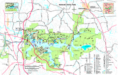
Moraine State Park map
Detailed recreation map for Moraine State Park in Pennsylvania
348 miles away
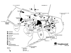
Tanglewood Map
Detailed map of the Tanglewood grounds that includes the location of the Box Office, Friends Office...
349 miles away
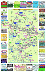
Columbia County - Boston Corners, Copake, Copake...
Tourist map of Columbia County, Mass. Includes towns of Boston Corners, Copake, Copake Falls...
349 miles away
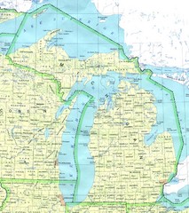
Lake Michigan Map
349 miles away
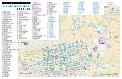
Pennsylvania State University - University Park...
Campus map of Pennsylvania State University - University Park. All buildings shown.
349 miles away
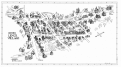
Lenox Village Map
Hand-drawn village map of historic center of Lenox, Massachusetts
349 miles away
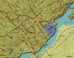
Quebec City Tourist Map
349 miles away
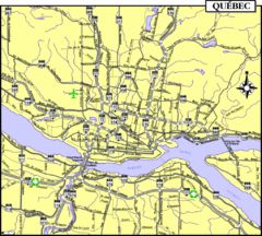
Quebec Tourist Map
349 miles away
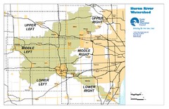
Huron River Watershed Map
Creek and watershed map of Huron River
349 miles away
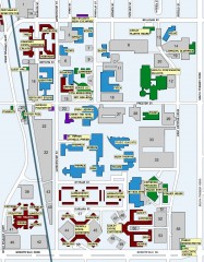
Central Michigan University Map
Central Michigan University Campus Map. All areas shown.
349 miles away
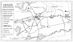
Lenox Town Map
Hand-drawn town map of Lenox, Mass. Bordered by Lenox Mountain and October Mountain. Shows points...
349 miles away

