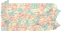
Pennsylvania Road Map
Pennsylvania detailed road map
328 miles away
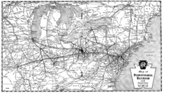
Pennsylvania Railroad System Map
Pennsylvania Railroad system map
328 miles away
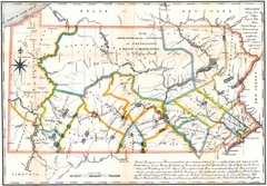
Pennsylvania Survey Map 1791
Survey Map 1791
328 miles away
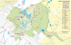
Ricketts Glen State Park map
Detailed recreation map of Ricketts Glen State Park in Pennsylvania
329 miles away
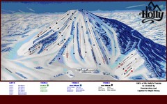
Mt. Holly Ski Area Ski Trail Map
Trail map from Mt. Holly Ski Area.
329 miles away
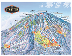
Stratton Mountain ski area trail map 2006-07
Official ski trail map of Stratton Mountain ski area from the 2006-2007 season.
330 miles away
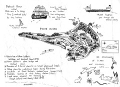
Peche Island Map
Hand-drawn map of Peche Island, Michigan
330 miles away
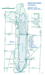
Mosquito Lake State Park map
Detailed recreation map for Mosquito Lake State Park in Ohio
330 miles away
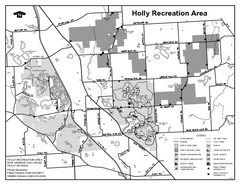
Holly State Recreation Area, Michigan Site Map
331 miles away
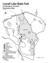
Lowell Lake State Park map
Campground map for Lowell Lake State Park in Vermont
331 miles away
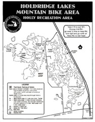
Holdridge Lakes Mountain Bike Map
Part of the Holly Recreation Area, the trail system consists of three loops: 1) A .75 mile loop...
331 miles away
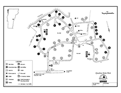
Quechee State Park map
Campground map for Quechee Gorge State Park in Vermont
331 miles away
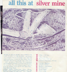
Silver Mine Credit to chris lundquist Ski Trail...
Trail map from Silver Mine, which provides downhill skiing.
331 miles away
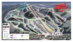
Magic Mountain Ski Trail Map
Trail map from Magic Mountain.
332 miles away
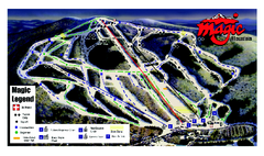
Magic Mountain Ski Trail map
Official ski trail map of Magic Mountain ski area from the 2006-2007 season.
332 miles away
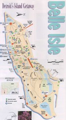
Belle Isle Tourist Map
Tourist map of Belle Isle, Detroit's island get-away
332 miles away

Belle Isle Park Map
Map of Belle Isle Park
332 miles away
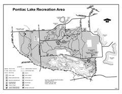
Pontiac Lake Recreation Area, Michigan Site Map
332 miles away
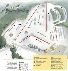
Alpine Valley Ski Area Ski Trail Map
Trail map from Alpine Valley Ski Area.
332 miles away
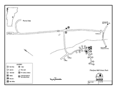
Thetford State Park Campground Map
Campground map for Thetford Hill State Park in Vermont
333 miles away
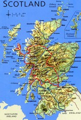
Scotland Tourist Map
333 miles away
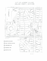
Lathrup Village Street Map
333 miles away
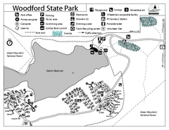
Woodford State Park Campground Map
Campground map for Woodford State Park in Vermont
334 miles away
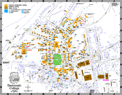
Dartmouth College campus map
Map of Dartmouth College. Shows all academic, administration, residential, and athletic buildings.
334 miles away
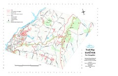
Hanover Trail Map
Recreation trails in Hanover
334 miles away

Wayne State University Map
334 miles away
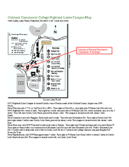
Oakland Community College Highland Lakes Campus...
Oakland Community College Highland Lakes Campus Map. Highland Lakes Campus is located in Waterford...
334 miles away
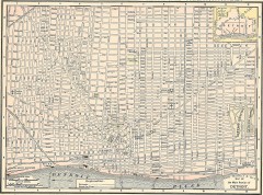
Map of the Main Portion of Detroit - 1895
Map of downtown Detroit, 1895. From Rand McNally's Atlas of the World, 1901, page 42
334 miles away

Detroit Belle Isle Grand Prix Map
334 miles away
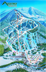
Ascutney Mountain Ski Trail Map 2006-07
Official ski trail map of Ascutney ski area from the 2006-2007 season.
335 miles away
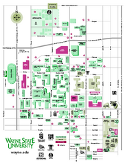
Wayne State University Map
Wayne State University Campus Map. All buildings shown.
335 miles away
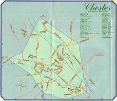
Chester Town Map
335 miles away
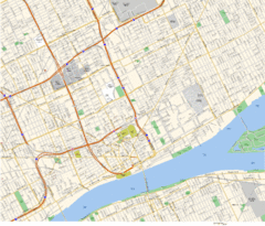
Detroit, MI Tourist Map
335 miles away
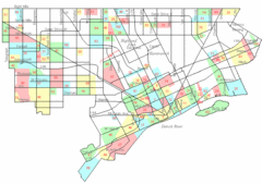
Detroit Neighborhoods Map
335 miles away

Detroit, Michigan City Map
335 miles away
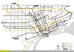
DDOT 2006 System Map
Detroit Department of Transportation Transit System.
335 miles away
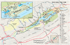
Bald Eagle State Park map
Detailed trail map of Bald Eagle State Park in Pennsylvania.
335 miles away
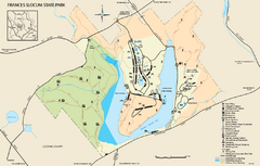
Frances Slocum State Park map
Detailed map of Frances Slocum State Park in Pennsylvania.
335 miles away
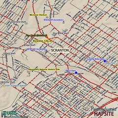
Scranton, Pennsylvania City Map
335 miles away

