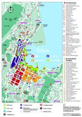
Wellington Downtown Map
Street map of downtown Wellington
0 miles away
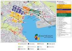
Wellington Tourist Map
Tourist map of downtown Wellington, New Zealand. Shows city attractions. Oriented West.
less than 1 mile away
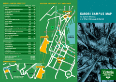
Karori Campus Map
Victoria University city campuses and Karori campus map.
less than 1 mile away
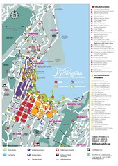
Wellington Tourist Map
Tourist map of central Wellington, New Zealand.
less than 1 mile away
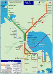
Wellington Rail Map
Rail map of Wellington's train system
less than 1 mile away
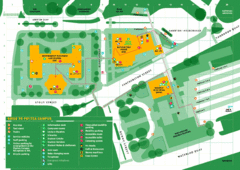
Pipitea Campus Map
Campus map of Pipitea, part of Victoria University of Wellington, New Zealand. The Pipitea campus...
less than 1 mile away

Kelburn Campus Map
Campus map of Kelburn, part of Victoria University of Wellington, New Zealand
less than 1 mile away
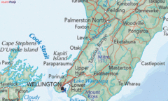
Kapiti Coast Map
5 miles away
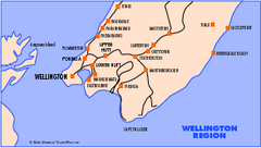
Wellington Map
16 miles away
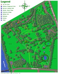
Harcourt Park Disc Golf Course Map
Disc Golf course map of Harcourt Park in Uper Hutt, New Zealand
21 miles away
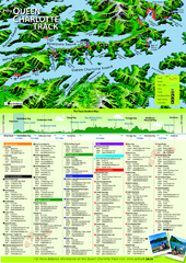
Queen Charlotte Track Map
Trail map of Queen Charlotte
39 miles away
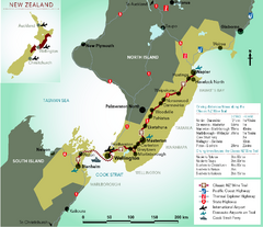
New Zealand Wine Trail Map
Map of Classic New Zealand Wine Trail
42 miles away
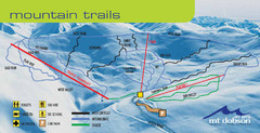
Mt. Dobson Ski Trail Map
Trail map from Mt. Dobson.
47 miles away
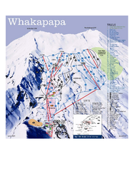
Whakapapa Ski Trail Map
Trail map from Whakapapa.
52 miles away
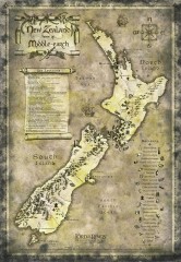
New Zealand Lord of the Rings Tourist map
Shows all film locations in New Zealand from the Lord of the Rings movie trilogy directed by Peter...
64 miles away
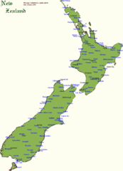
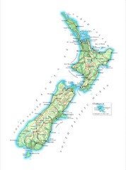
New Zealand Country Map
A New Zealand city and location guide map
74 miles away
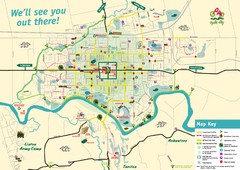
Palmerston North Cycling Guide Map
Cycling and Pedestrian Guide to Palmerston North
78 miles away
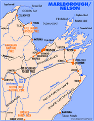
Nelson/Marlborough Map
Map of Nelson/Marlborough region with detail of towns and surrounding islands
78 miles away
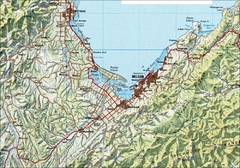
Nelson Topo Map
Shaded relief topo map of Nelson, New Zealand
78 miles away
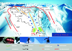
Porters Ski Trail Map
Trail map from Porters.
95 miles away
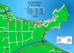
Kaikoura Town Map
96 miles away
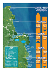
Abel Tasman National Park Map
Trail map
97 miles away
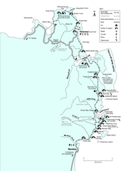
Abel Tasman Coastal Track Map
Trail map of the Abel Tasman Coastal Track
98 miles away
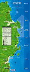
Abel Tasman National Park Map
98 miles away
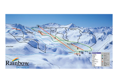
Rainbow Trail Map
Ski trail map of Rainbow ski area
106 miles away
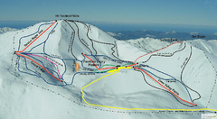
Mount Lyford Trail Map
Ski trail map of Mt. Lyford
117 miles away
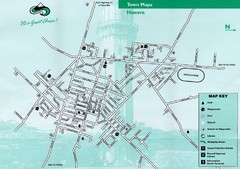
Hawera Town Map
120 miles away
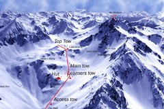
Mt. Olympus Ski Trail Map
Trail map from Mt. Olympus.
121 miles away
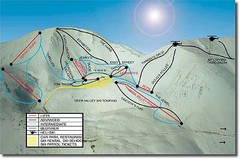
Mt. Lyford Ski Trail Map
Trail map from Mt. Lyford.
124 miles away
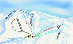
Hammer Springs Ski Trail Map
Trail map from Hammer Springs.
132 miles away
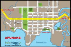
Opunake Tourist Map
136 miles away
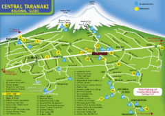
Central Taranaki Map
Regional guide to Central Taranaki
139 miles away
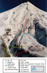
Manganui Ski Trail Map
Ski trail map for Manganui Mountain
143 miles away

Tukino Ski Trail Map
Trail map from Tukino.
145 miles away
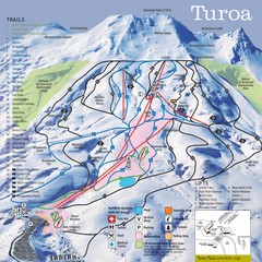
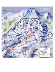
Turoa Ski Trail Map
Ski trail map
145 miles away
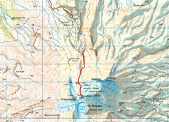
Mt Ruapehu Topo Route Map
Topo map with route to summit of Mt Ruapehu, New Zealand's North Island's highest...
146 miles away
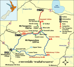
Tongariro National Park Map
151 miles away
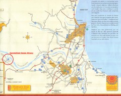
Hawkes Bay Wine Country Map
Tourist map of Hawkes Bay Wine Country near Hastings, New Zealand
156 miles away

