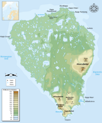
Bear Island Bjørnøya Norway Map
Elevation map of Bear Island, Norway (Bjørnøya) in the Barents Sea, the southernmost...
714 miles away

Warnemunde 1 Map
717 miles away
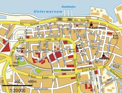
Rostock Center Map
Street map of town center
723 miles away

Rostock Map
723 miles away
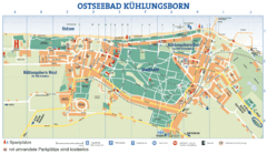
Kühlungsborn Map
Map of Kühlungsborn
723 miles away
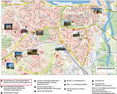
Rostock Tourist map
Tourist map of Rostock
723 miles away
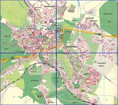
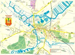
Doberan Map
Street map of city of Doberan
724 miles away

Kirillov Map
725 miles away
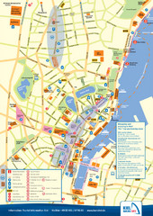
Kiel Tourist Map
Tourist map of Kiel, Germany. Shows streets, hotels, and points of interest.
730 miles away

Kiel Map
730 miles away
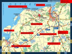
Rostok Region Tourist Map
731 miles away
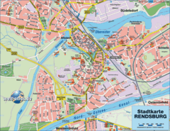
Rendsburg Map
Street map of city of Rendsburg
737 miles away
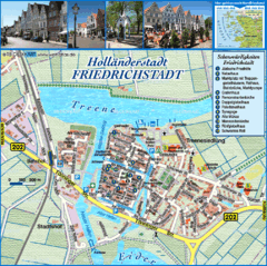
Friedrichstadt Tourist Map
Tourist street map of Friedrichstadt
741 miles away
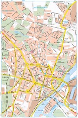
Szczecin Tourist Map
Tourist map of central Szczecin, Poland. Shows points of interest.
749 miles away
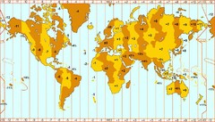
Welt Zeitzonen Map
750 miles away
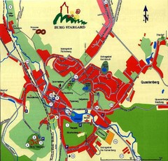
Burg Stargard Tourist Map
tourist map of Burg Stargard
753 miles away
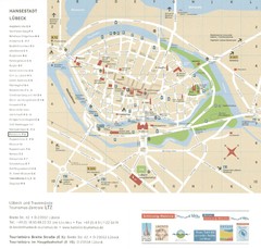
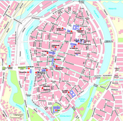
Luebeck Tourist Map
Street tourist map of city center
753 miles away
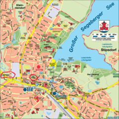
Bad Segeberg Tourist Map
Tourist street map of bad Segeberg
753 miles away
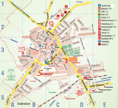
Wesselburen Tourist Map
Tourist street map of Wesselburen
754 miles away
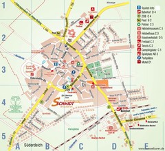
Wesselburen Tourist Map
Tourist map of Wesselburen
754 miles away
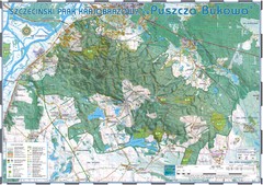
Map_Puszcza_Bukowa_Szczecin_PL.jpg Map
Map Map_Puszcza_Bukowa_Szczecin_PL.jpg is a tourist map made with an extensive use of GlobalMapper...
754 miles away

Torzhok Map
756 miles away

Opfer des Nationalsozialismus in Dithmarschen Map
758 miles away

Torzhok Map
758 miles away
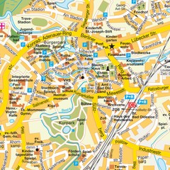
Bad Oldeshloe Map
Street map of downtown Bad Oldeshloe
761 miles away
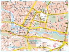
Bydgoszcz Tourist Map
Tourist map of central Bydgoszcz, Poland. Shows points of interest.
761 miles away
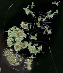
Orkney Islands Map
Guide to the Orkney Islands, northern most islands of the United Kingdom
763 miles away
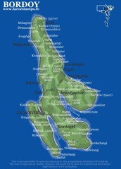
Bordoy island Map
767 miles away

