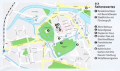
Celle Map
843 miles away
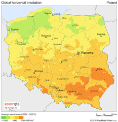
Solar Radiation Map of Poland
Solar Radiation Map Based on high resolution Solar Radiation Database: SolarGIS. On the Solar Map...
846 miles away
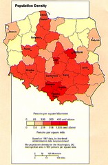
Poland Population Density Map
Map of Poland's population density
846 miles away
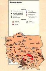
Poland Economic Activity Map
Map of Poland's economic activity
846 miles away

Poland Map
Map of Poland showing major roads, railroads, cities and boundaries.
846 miles away
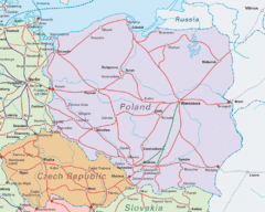
Interrail Routes in Central Europe Map
Map shows railway routes for Poland, Germany, Czech Republic and Slovakia.
846 miles away

Poland Country Map
CIA Atlas of Eastern Europe - PCL Map Collection, University of Texas at Austin.
846 miles away
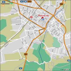
Luckenwalde Map
Street map of Luckenwalde
849 miles away
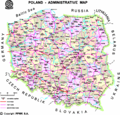
Poland Map
Map of Poland that includes all freeways, cities, districts and surrounding countries.
850 miles away
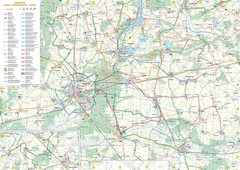
mapa rowerowa okolice leszna Map
851 miles away
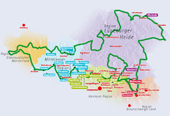
Niedersachsen Spargelstrasse Map
851 miles away
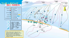
The Lecht Ski Trail Map
Trail map from The Lecht.
852 miles away
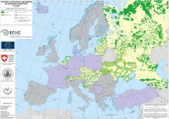
National Ecological Networks of European...
Shows core areas and ecological corridors in European countries with Ecological Network plans. By...
853 miles away
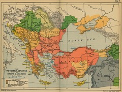
The Ottoman Advance of Europe and Asia Minor Map
853 miles away
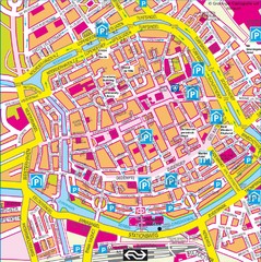
Groningen City Map
City map of central Groningen, The Netherlands. Some hotels highlighted.
854 miles away
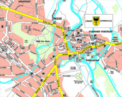
Lübben (Spreewald) Map
Street map of Lübben (Spreewald)
855 miles away
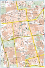
Lódź Tourist Map
Tourist map of central Lódź, Poland. Shows points of interest.
857 miles away
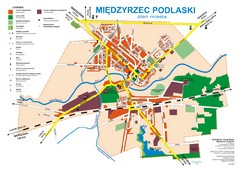
Miedzyrzec Podlaski Location Map (polish)
859 miles away
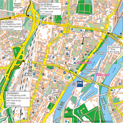
Magdeburg City Map
City map of central Magdeburg, Germany
859 miles away
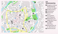
Braunschweig Map
861 miles away
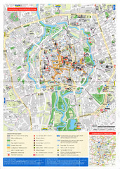
Braunschweig Map
861 miles away
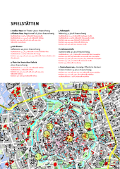
Braunschweig Tourist Map
Tourist map of Bruanschweig
862 miles away
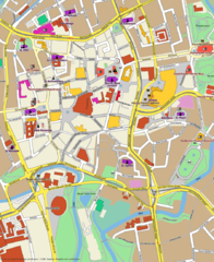
Braunschweig Map
Street map of Braunschweig center
862 miles away
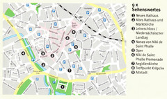
Hannover Map
863 miles away
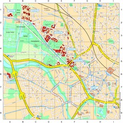
Leibniz Universität Hannover Map
Campus map of the Leibniz Universität Hannover in Hannover, Germany. All school buildings...
863 miles away
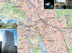
Hannover Tourist Map
Tourist map of central Hannover, Germany. Shows points of interest and some photos.
863 miles away
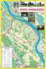
Magnuszew Commyne - Touristic map
Magnuszew commune - touristic, folded map.
863 miles away
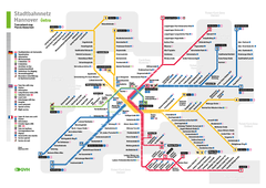
Hannover, Nahverkehr Map
863 miles away
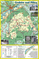
Grabow nad Pilica commune map
Grabow nad Pilica commune map Ed. 2006
867 miles away

Rostov Velikiy. Kreml Map
867 miles away
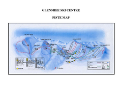
Glenshee Ski Centre Ski Trail Map
Trail map from Glenshee Ski Centre.
867 miles away
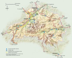
Cairngorms National Park Map
Official map of Cairngorms National Park, Britain's largest National Park at 3800 sq km. 4 of...
868 miles away
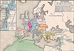
Old Map of Europe - 12th century
868 miles away
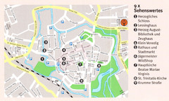
Wolfenbuttel Map
868 miles away

Rostov Velikiy Map
868 miles away
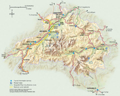
Cairngorms National Park Map
This map shows the boundaries of the Cairngorms National Park, which stretch from Grantown on Spey...
868 miles away
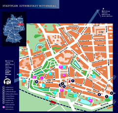
Wittenberg Tourist Map
City tourist map of Wittenberg, Germany
868 miles away

