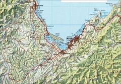
Nelson Topo Map
Shaded relief topo map of Nelson, New Zealand
333 miles away
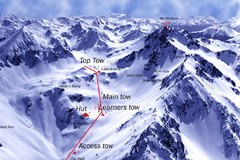
Mt. Olympus Ski Trail Map
Trail map from Mt. Olympus.
343 miles away
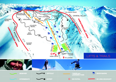
Porters Ski Trail Map
Trail map from Porters.
364 miles away
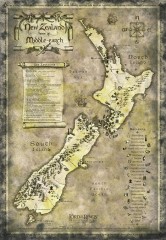
New Zealand Lord of the Rings Tourist map
Shows all film locations in New Zealand from the Lord of the Rings movie trilogy directed by Peter...
364 miles away
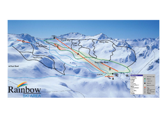
Rainbow Trail Map
Ski trail map of Rainbow ski area
376 miles away
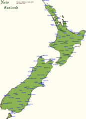
New Zealand Country Map
A New Zealand city and location guide map
385 miles away
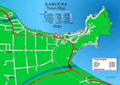
Kaikoura Town Map
400 miles away
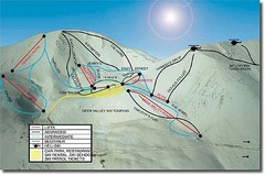
Mt. Lyford Ski Trail Map
Trail map from Mt. Lyford.
411 miles away
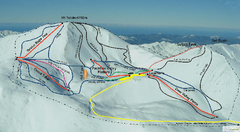
Mount Lyford Trail Map
Ski trail map of Mt. Lyford
412 miles away
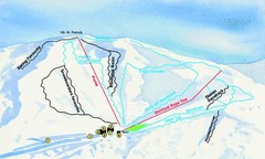
Hammer Springs Ski Trail Map
Trail map from Hammer Springs.
422 miles away
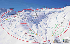
Temple Basin Trail Map
Ski trail map of Temple Basin Mountain
472 miles away
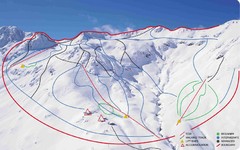
Temple Basin Ski Trail Map
Ski trail map of Temple Basin ski area in New Zealand
476 miles away
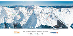
Broken River Trail Map
486 miles away
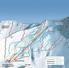
Mt. Cheeseman Ski Trail Map
Trail map from Mt. Cheeseman.
488 miles away
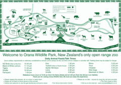
Orana Wildlife Park Map
489 miles away
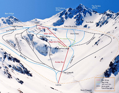
Mount Olympus Trail Map
Ski trail map of Mt. Olympus
489 miles away
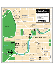
Christchurch Street Map
Street map of Christchurch
491 miles away
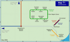
Christchurch Rail Map
Rail map of Christchurch local tramway system
491 miles away
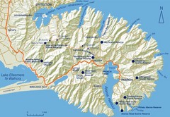
Banks Peninsula Map
Map of Banks Peninsula, with detail of bays and reserves
500 miles away
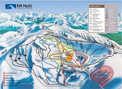
Mt. Hutt Ski Trail Map
Trail map from Mt. Hutt.
510 miles away
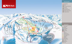
Mount Hutt Trail Map
Ski trail map for Mt. Hutt
510 miles away
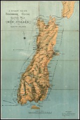
1880 New Zealand Map
547 miles away
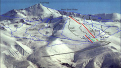
Fox Peak Ski Trail Map
Trail map from Fox Peak.
549 miles away
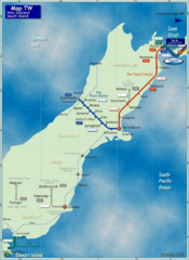
South Island Rail Map
Rail map of transit system throughout the South Island
550 miles away
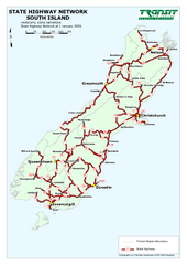
South Island State Highway Map
Map of state highway system throughout the South Island
559 miles away
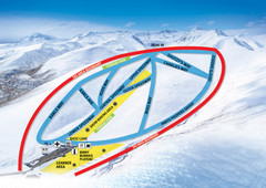
Roundhill Ski Trail Map
Trail map from Roundhill.
567 miles away
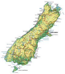
South Island Map
Map of South Island with cities detailed
575 miles away
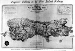
South Island New Zealand Rail Map
Contour map of the South Island, 1929
575 miles away
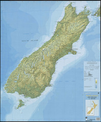
South Island New Zealand Map
Elevation map of South Island, New Zealand
575 miles away
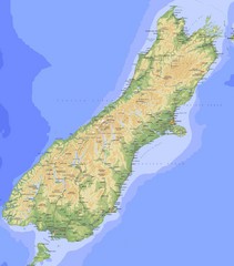
South Island Map
Physical map of South Island, New Zealand
575 miles away
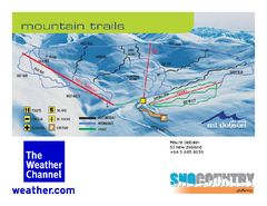
Mount Dobson Trail Map
Ski trail map or Mt. Dobson
581 miles away
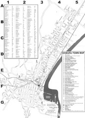
Oamaru Tourist Map
Tourist map of Oamaru, New Zealand. Has street index and shows points of interest.
622 miles away
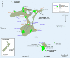
Chatham Island Map
637 miles away
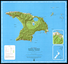
Raoul Island Map
Topographical map of Raoul Island in the Kermadec Islands, New Zealand
640 miles away
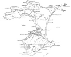
Chatham Island Map
641 miles away
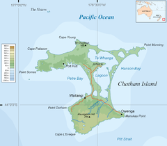
Chatham Island Map
642 miles away
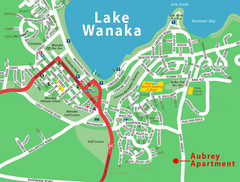
Wanaka Town Map
Street map of town of Wanaka
643 miles away
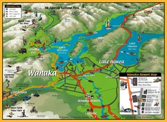
Wanaka Area Tourist Map
643 miles away
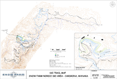
Snowfarm Nordic Ski Trail Map
Trail map from Snowfarm.
643 miles away

