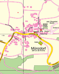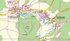
Indelhausen / Anhausen Map
Map of towns of Indelhausen & Anhausen
397 miles away
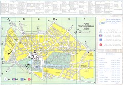
Fontainebleau Avon Map
397 miles away
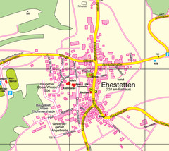
Ehestetten Map
Street map of Ehestetten
397 miles away
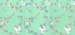
Bois-Rond Bouldering Circuit Map
From summitpost.org: "Bois-Rond is a bouldering area located in the Southern part of the...
399 miles away
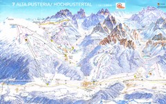
Alta Pusteria Ski Trail Map
399 miles away
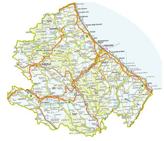
Abruzzo Province Map
399 miles away
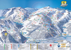
Mayrhofen Ski Trail Map
Ski trail map of Mayrhofen ski area in Austria.
402 miles away
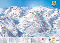
Mayrhofen Ski Trail Map
Trail map from Mayrhofen.
402 miles away
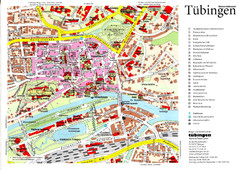
Tübingen Tourist Map
Tourist map of Old Town center of Tübingen
402 miles away
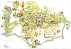
Tramonti di Sopra Tourist Map
Tourist map of town and surrounding area of Tramonti di Sopra, Italy. Drawing shows streets...
402 miles away
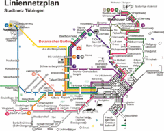
Tubingen Bus Map
Bus routes and connections, Tubingen, Germany. (German).
402 miles away
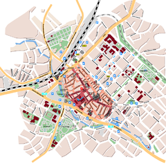
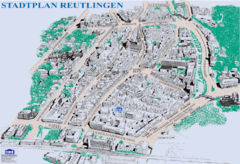
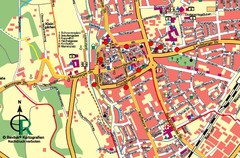
Reutlingen Tourist Map
Tourist street map of Reutlingen
403 miles away
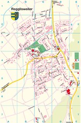
Regglisweiler Map
Map of town of Regglisweiler
404 miles away
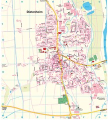
Dietenheim Map
Street map of Dietenheim
405 miles away
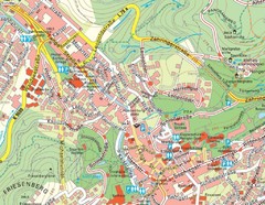
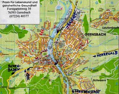
Baden Baden Street Map
Street map of city of Baden Baden
405 miles away
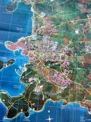
Rovinj Tourist Map
Tourist map of Rovinj, Croatia. Map is based on aerial photo.
406 miles away
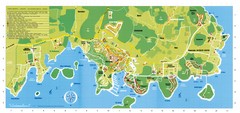
Vrsar Tourist Map
406 miles away
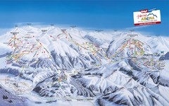
Zillertal Arena Ski Trail Map
Trail map from Zillertal Arena.
406 miles away

La Rochelle - overall Map
407 miles away

La Rochelle Map
407 miles away
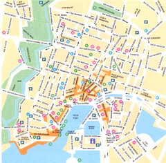
La Rochelle - centre Map
407 miles away

Porec Tourist Map
407 miles away
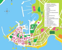
Novigrad Tourist Map
Tourist map of Novigrad, Croatia. Shows points of interest.
407 miles away

Giulianova Centro Storico Map
407 miles away

Giulianova Map
407 miles away

Umag Tourist Map
Tourist map of Umag, Croatia. Shows restaurants and lodging.
408 miles away
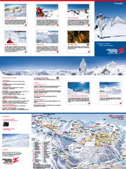
Zillertal 3000 (Hintertux) Ski Trail Map
Trail map from Zillertal 3000 (Hintertux).
408 miles away
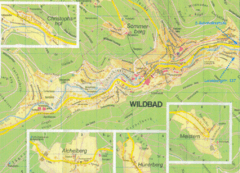
Bad Wildbad Map
Map of Bad Wildbad and surrounding region
409 miles away
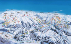
Gerlos Ski Resort Map
Ski map for Gerlos, Austria. Includes ski runs, lifts, mountains with elevations and amenities.
411 miles away
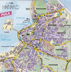
Pula City Map
City map of Pula, Croatia. Shows major streets.
411 miles away
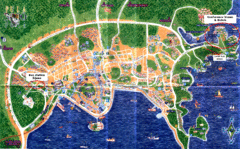
Pula Tourist Map
Tourist map of Pula, Croatia. Bus station highlighted. Scanned.
412 miles away
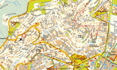
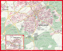
Boblingen Street Map
Street map of Boblingen center
412 miles away
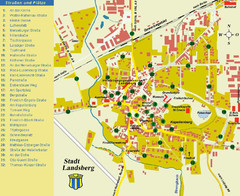
Landsberg Tourist Map
tourist map of town of Landsberg
412 miles away

