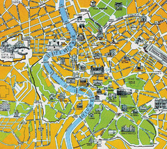
Rome City Tourist Map
345 miles away
Rome City Tourist Map
345 miles away
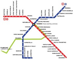
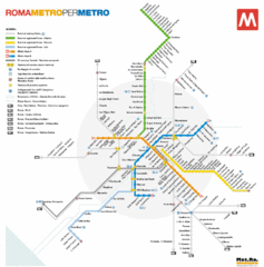
Rome Metro Map
345 miles away
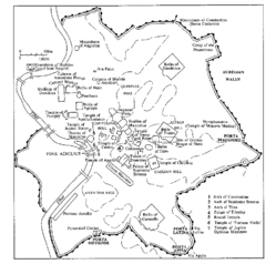
Rome Italy Ruins Map
Tourist Map showing the ruins and tourist sites for Rome, Italy.
345 miles away
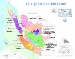
AOC Bordeaux Map
Appellations de Bordeaux (2009)
345 miles away
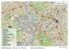
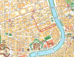
Rome Downtown Printable Map
This is the perfect printable map of Rome. Easy to use and very detailed, it includes: - all...
345 miles away

Bordeaux Map
345 miles away
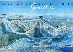
Gérardmer Ski Trail Map
Trail map from Gérardmer.
345 miles away
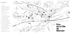
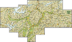
Munster Map
345 miles away
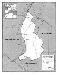
Liechtenstein Tourist Map
345 miles away

Trevi Map
345 miles away
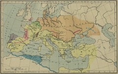
Roman Empire Map
345 miles away
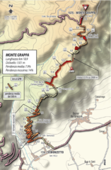
Monte Grappa Giro Stage 14 Cycling Route Map
Cycling route of the climb up Monte Grappa in Stage 14 of the 2010 Giro d'Italia. Averages 8...
345 miles away
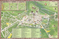
Spoleto Map
346 miles away

Marmore waterfall Map
346 miles away
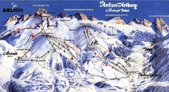
Arlberg – St Anton Ski Trail Map
Trail map from Arlberg – St Anton.
347 miles away
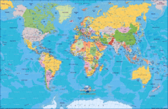
World Map
347 miles away
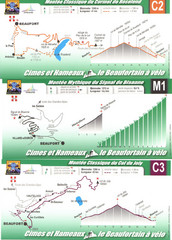
Beaufort Cycling Route Map
Three routes drawn and elevation gains shown for each cycling route in Beaufort, France's...
348 miles away
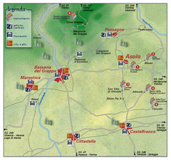
Asolo Italy Area Map
Tourist map of Asolo, Italy surroundings. Shows monuments, art centers, museums, and city walls.
348 miles away
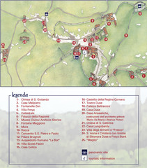
Asolo Town Map
Tourist map of Asolo, Italy. Shows points of interest, panoramic site, and touristic information...
348 miles away
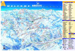
St Anton Region Ski map
Panoramic ski map covers St. Anton, St. Christoph, St. Jakob, Stuben, Zurs, Zug, Lech, and Oberlech...
348 miles away

Colmar 1 Map
349 miles away

Solar Radiation Map of Italy
Solar Radiation Map Based on high resolution Solar Radiation Database: SolarGIS. On the Solar Map...
349 miles away
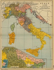
1490 Italy Historical Map
349 miles away
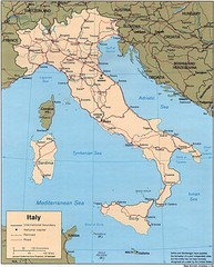
Italy Road Map
Main Highways map of Italy with cities and railroads identified.
349 miles away
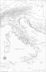
Roman Italy Map
This map depicts many of the principal sites and features of Roman Italy. It contains elevation...
349 miles away
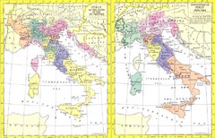
Italy Historic Political Map 15th Century and...
Side-by-side political maps showing Italy at the close of the 15th century and the unification of...
349 miles away
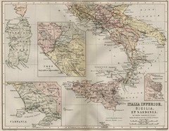
Italy and Sicily Ancient Map
Map of ancient Italy, Sicily, and Sardinia. Year unknown.
349 miles away
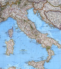
Italy Political Map
Political map of Italy. Scanned.
349 miles away
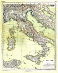
Italy Map 1898
Overview map of Italy from 1898. Shows regions.
349 miles away
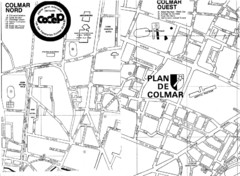
Colmar 2 Map
349 miles away
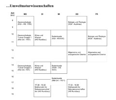
Test Map
350 miles away
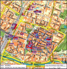
Frieburg Tourist Map
350 miles away
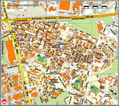
Pomezia Tourist Map
Tourist map of center of Pomezia, Italy. Shows points of interest with symbols (hard to read).
350 miles away
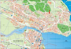
Konstanz City Map
351 miles away
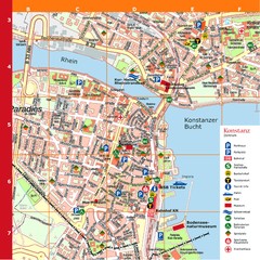
Konstanz Tourist Map
Tourist map of Konstanz
351 miles away
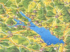
Lake Konstanz Map
352 miles away

