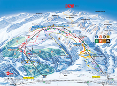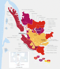
Bordeaux Region Wine Districts Map
Wine map of districts in the Bordeaux region of France. In French.
320 miles away

Weil am Rhein Tourist Map
Tourist street map of Weil am Rhein
320 miles away
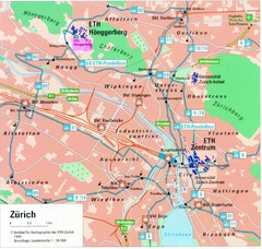
Zurich City Map
City map of Zurich with university highlighted
320 miles away
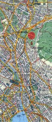
Zurich, Switzerland Tourist Map
320 miles away
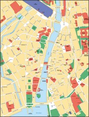
Zurich, Switzerland Tourist Map
320 miles away
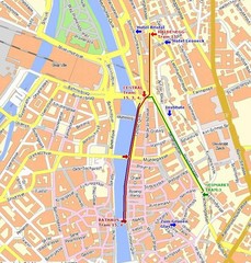
Zurich, Switzerland Tourist Map
320 miles away
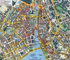
Zurich, Switzerland Tourist Map
320 miles away
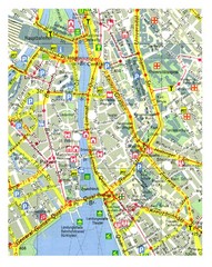
Zurich, Switzerland Tourist Map
320 miles away
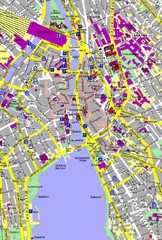
Zurich, Switzerland Tourist Map
320 miles away
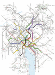
Zurich Transit Map
Map of transit routes throughout Zurich
320 miles away
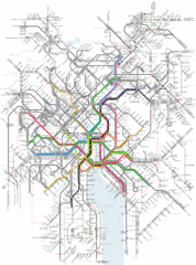
Zurich Tram Map
Map of tram system for Zurich and surrounding areas
320 miles away

Pau - SW quadrant Map
320 miles away
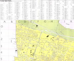
Pau - NW quadrant Map
320 miles away
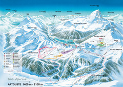
Artouste Ski Trail Map
Trail map from Artouste.
320 miles away
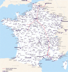
Map of SNCF National Railway Network in France
A SNCF map (Société Nationale des Chemins de Fer) showing the French train System...
320 miles away
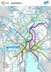
Zurich Metro Map
Official metro map from ZVV. Shows lines in central Zurich, Switzerland.
321 miles away
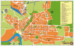
Umbertide Tourist Map
Tourist map of Umbertide, Italy. Shows major buildings and points of interest are labeled. In...
323 miles away
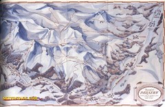
Davos-Klosters Ski Trail Map
Trail map from Davos-Klosters.
323 miles away
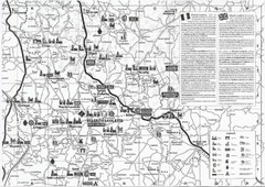
Villebois-Lavalette Tourist Map
Tourist map of Villebois-Lavalette, France and surrounding region. Shows points of interest. In...
323 miles away
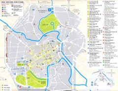
Vicenza Map
324 miles away

Ravenna Map
325 miles away
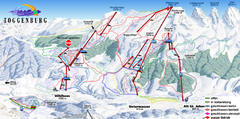
Toggenburg Ski Trail Map
Trail map from Toggenburg.
325 miles away

Sulden Trafoi Summer Hiking Map
Summer hiking route map of Sulden (Solda) Italy, Trafoi, Italy and Stelvio, Italy. Shows hiking...
326 miles away
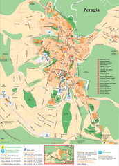
Perugia Tourist Map
Tourist map of Perugia, Italy. Shows points of interest.
326 miles away
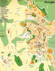
Perugia Tourist Map
Tourist map of central Perugia, Italy, the capital of Umbria. Shows points of interest and hotels...
326 miles away
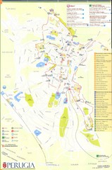
Perugia Map
326 miles away

Saint Emilion Map
326 miles away
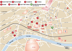
Trento center Map
326 miles away
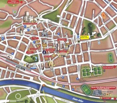
Trento Tourist Map
Tourist map of central Trento, Italy. Shows major buildings.
327 miles away
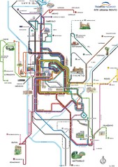
Trento Bus Route Map (Italian)
327 miles away
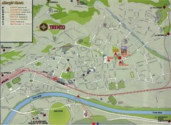
Trento Map
327 miles away
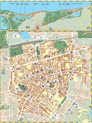
Ravenna Street Map
Street map of central Ravenna, Italy.
327 miles away
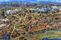
Eastern Alps Italy and Austria Overview Map
Panoramic map of the mountains and towns of northern Italy, the Tyrol, and southern Austria
327 miles away
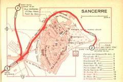
Sancerre Town Map
Town center of Sancerre, France. From Penguin edition, pages 13-16
328 miles away
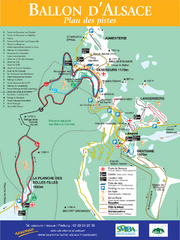
Ballon d’Alsace Ski Trail Map
Trail map from Ballon d’Alsace.
328 miles away
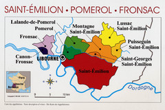
Libournais Region Wine District Map
Shows wine districts of the Libournais region near Libourne, France
328 miles away

Apecchio IT Map
328 miles away

Sulden Ski Trail Map
Ski trail map of Sulden (Solda), Italy in the Ortler Alps. Shows trails and lifts.
328 miles away
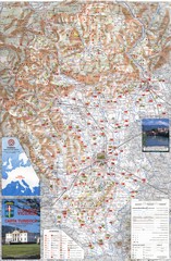
Vicenza Tourist Map
Tourist map of region around Vicenza, Italy. Shows points of interest. In Italian. Scanned.
328 miles away

