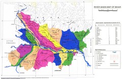
River Basin of Bihar Map
River Basin's shown in color on Map
408 miles away

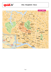
Bangladesh Tourist Center Map
Map of tourist centers, Bangladesh.
416 miles away
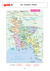
Bangladesh Regional Map
Country map with detail of regional divides
416 miles away
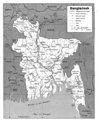
Bangladesh Map
Bangladesh Map showing cities, borders and rivers
416 miles away
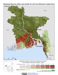
Bangladesh 5m LECZ and Population Density Map
Population densite within and outside of a 5 meter low elevation coastal zone
416 miles away

Bangladesh Map
Bangladesh country map, shows physical relief
416 miles away
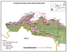
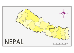
Royal Chitwan National Park Nepal Map
432 miles away
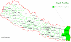
Nepal Tea Growing Regions Map
433 miles away
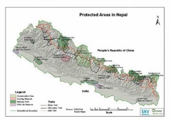
Nepal Protected Areas Map
433 miles away
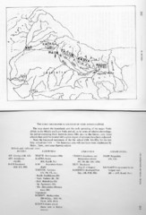
Early Geographical Locations of Vedic Schools Map
The map shows the homelands and the early spreading of the major Vedic sakhas in hte Middle and...
433 miles away
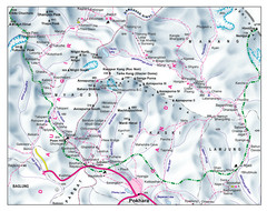
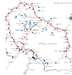
Gandaki Mountain Trail Map
Map of hiking trails for Gandaki Moutain range, Nepal.
438 miles away

Bangladesh district Map
460 miles away
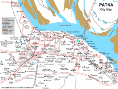
Patna City Tourist Map
462 miles away
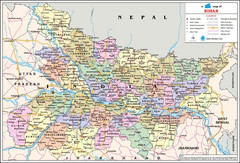
Bihar Travel Map
Bihar, India Travel Map showing cities, states, roads and railways.
463 miles away
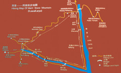
Meili Snow Mountain Hiking Map
Hiking trail map of Meili Snow Mountain (Kawakarpo) near Lijiang, China. Kawagebo is one of the...
470 miles away

China's Parallell River's Map
508 miles away
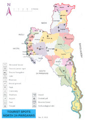
North Parganas Tourist Map
Tourist map of state of Parganas, India. Shows points of interest... including Central jail!
519 miles away
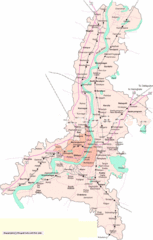
Kolkata City Map
City Map of Kolkata with railroad stops
519 miles away
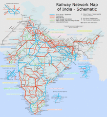
India Railway Schematic Map
India's main transportation system
520 miles away
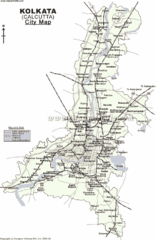
Kolkata City Map
520 miles away
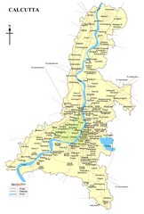
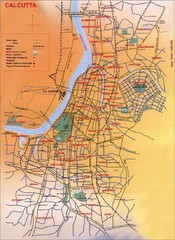
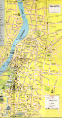
Calcutta Map
520 miles away
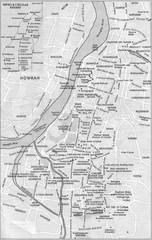
Kolkata Guide Map
520 miles away
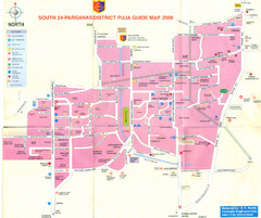
Kolkata Durgapuja Guide Map 2007
Durgapuja Festival Guide in Kolkata (Calcutta)
524 miles away
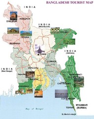
Bangladesh Tourist Map
528 miles away
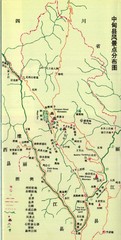
Zhongdian Tourist Map
Tourist map of Zhongdian, also called Shangri-La in the northwestern Yunnan Province in southwest...
535 miles away
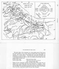
Kirata (Nepal) and North India in the middle and...
Kirata (Nepal) and North India map including tribes, rivers, mountains.
548 miles away
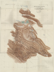
Eastern Tibet Map, 1900
Kozlov map of Eastern Tibet, 1900. In Russian. Scanned.
558 miles away
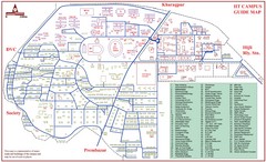
India Institute of Technology Campus Map
IIT Kharagpur Campus Guide Map
561 miles away
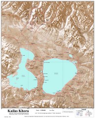
Kailash (Feng) Mountain Map
Kailash is locally more known as Kangrinboqe (Feng). It is the highest mountain in the western part...
589 miles away
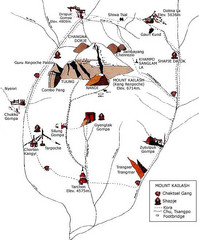
Mt. Kailash Hiking Map
Hiking on a sacred mountain.
594 miles away

