Downtown Memphis Map
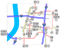
Roads and freeways around Memphis.
0 miles away
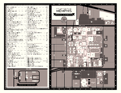
University of Memphis Map
Campus Map of the University of Memphis. All buildings shown.
less than 1 mile away
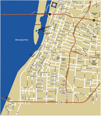
Downtown Memphis Map
less than 1 mile away
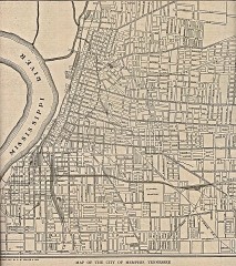
Antique map of Memphis from 1911
Antique map of Memphis, Tennessee from The New Encyclopedic Atlas and Gazetteer of the World. New...
1 mile away
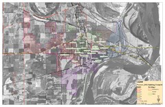
West Memphis City Map
City Map of West Memphis with ward boundaries
5 miles away
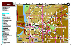
Memphis, Tennessee City Map
8 miles away
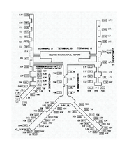
Memphis International Airport Terminal Map
Official Terminal Map of Memphis International Airport. Shows all terminals.
8 miles away
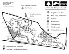
Shelby Farms Park Map
12 miles away
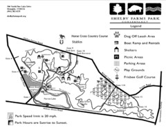
Shelby Farms Park Activities Areas Map
Visitor map of Shelby Farms Park. Shows parameters of dog areas, parking, play grounds, shelters...
14 miles away
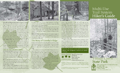
Village Creek State Park Trail Map
Trail map for hiking, bicycles and horses in Village Creek State Park.
37 miles away
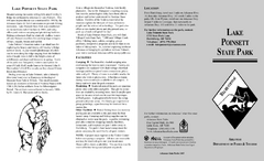
Lake Poinsett State Park Map
Map of Lake Poinsett State Park showing Great Blue Heron Trail , boat ramps and park amenities.
44 miles away
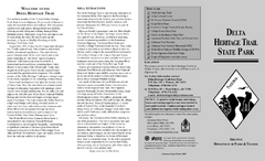
Delta Heritage Trail State Park Map
Map of Arkansas Historical Delta Heritage Trail both completed and uncompleted sections.
53 miles away
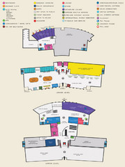
Arkansas International Airport Map
57 miles away
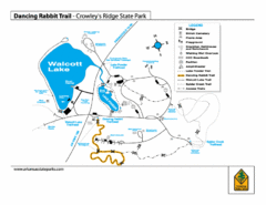
Dancing Rabbit Trail - Crowley's Ridge State...
Trail Map for Dancing Rabbit Trail in Crowley's Ridge State Park showing Walcott Lake, hiking...
65 miles away
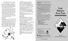
Lake Frierson State Park Map
Map of Lake Frierson State Park showing trails, boating and fishing areas and amenities.
69 miles away
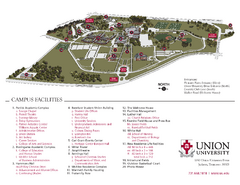
Union University Jackson Campus Map
Campus map of Union University in Jackson, Tennessee
77 miles away
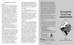
Jacksonport State Park Map
Map of Jacksonport State Park showing historical sites, trails, amenities and river access.
80 miles away
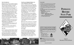
Powhatan Historic State Park Map
Map of the historic buildings of Powhatan State Park.
88 miles away
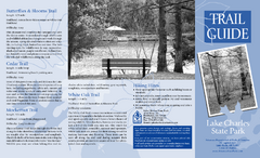
Lake Charles State Park Trail Map
Map of trails for Lake Charles State Park including othe park sites and amenities.
89 miles away
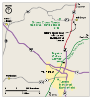
Brices Cross Roads National Battlefield Site...
Official NPS map of Brices Cross Roads National Battlefield Site in Mississippi. The grounds of the...
91 miles away
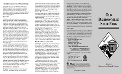
Old Davidsonville State Park Map
Map of Old Davidsonville State Park historical sites, amenites and other park sites.
93 miles away
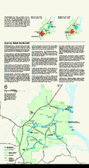
Shiloh National Military Park Official Park Map
Official NPS map of Shiloh National Military Park in Tennessee. The park is open every day except...
97 miles away
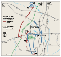
Tupelo National Battlefield Official Map
Official NPS map of Tupelo National Battlefield in Mississippi. Tupelo National Battlefield (NB...
97 miles away
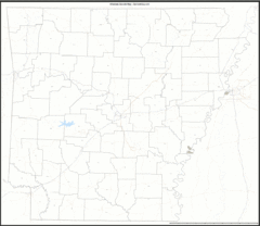
Arkansas Zip Code Map
Check out this Zip code map and every other state and county zip code map zipcodeguy.com.
101 miles away
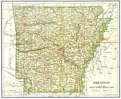
Old Arkansas Map
Old 1892 historical map in great condition.
101 miles away
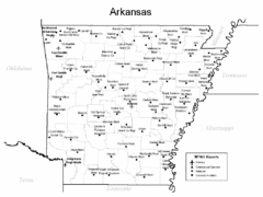
Arkansas Airports Map
101 miles away
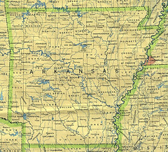
Arkansas County Map
Arkansas divided into counties
101 miles away
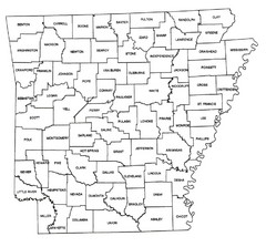
Arkansas Historical County Map
Historical County Map of Arkansas from 1936
101 miles away
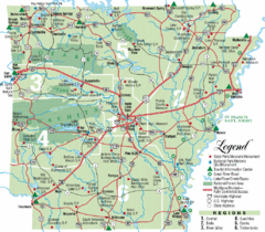
Arkansas State Park Map
Map highlights Arkansas State Parks and tourist areas including towns and major roads.
101 miles away
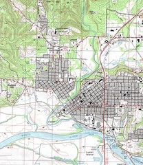
Batesville City Map
Topographic city map of Batesville, Arkansas
101 miles away
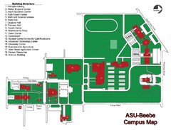
Arkansas State University-Beebe Campus Map
Campus map of Arkansas State University's Beebe campus.
104 miles away
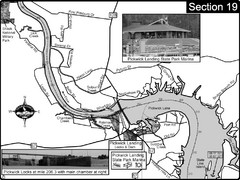
Pickwick Lake Tennessee River Map
For boating navigational information and river road travel along the Tennessee River. This map...
105 miles away

Tishomingo State Park, Mississippi Map
This map unfortunately does not adequately represent this park which is in one of the few areas of...
109 miles away

Clifton, TN Tennessee River Map
For boating navigational information and river road travel along the Tennessee River.
115 miles away
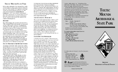
Toltec Mounds Archeological State Park Map
Map of the trails and earthworks sites of the Toltec Mounds Archeological State Park.
120 miles away
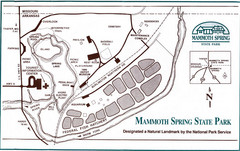
Mammoth Spring State Park Map
125 miles away
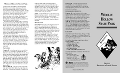
Woolly Hollow State Park Map
Map of Woolly Hollow State Park showing hiking trails and park amenities.
126 miles away
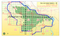
Little Rock City Map
City map of Little Rock, Arkansas with section designations
129 miles away
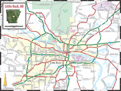
Little Rock, Arkansas City Map
130 miles away

