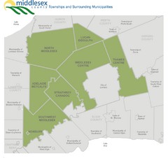
Middlesex County Map
Guide to Middlesex County and surrounds
187 miles away

Yellow Creek State Park map
Recreation map for Yellow Creek State Park in Pennsylvania
187 miles away
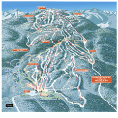
Gore Mountain Ski Trail Map
Trail map from Gore Mountain.
188 miles away
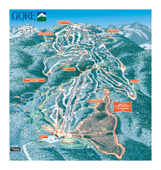
Gore Mountain Ski Trail Map
Trail map from Gore Mountain.
188 miles away
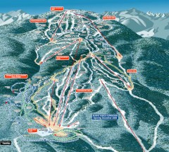
Gore Mountain Ski Trail Map
Official ski trail map of Gore Mountain ski area from the 2007-2008 season.
188 miles away
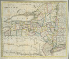
1831 Antique New York State map
The tourist's map of the state of New York : compiled from the latest authorities in the...
189 miles away
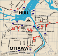
Ottawa Tourist Map
189 miles away
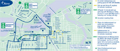
Ottawa Bus Tour Map
189 miles away
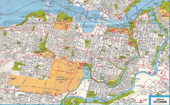
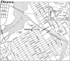
Ottawa, Ontario Tourist Map
189 miles away
Ottawa, Ontario Tourist Map
189 miles away

Ottawa, Ontario Tourist Map
189 miles away
Ottawa, Ontario Tourist Map
189 miles away
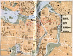
Ottawa Tourist Map
Tourist map of capital city of Ottawa, Canada. Shows tourist points of interest.
189 miles away
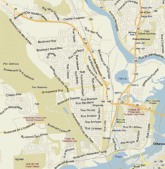
Hull, Quebec Tourist Map
190 miles away
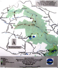
Northern Catskill Trail Map
Trail map shows hiking trails in the northern Catskills of New York. Shows trails in Windham High...
190 miles away
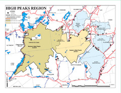
Adirondacks Canoeing Map
Guide to canoeing in the Adirondacks
190 miles away
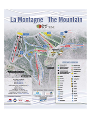
Camp Fortune Ski Trail Map
Trail map from Camp Fortune, which provides downhill skiing. This ski area has its own website.
190 miles away

Rideau Hall Tour Bus Lay-By Map
191 miles away

Rideau Hall Tour Bus Parking Map
191 miles away
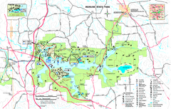
Moraine State Park map
Detailed recreation map for Moraine State Park in Pennsylvania
192 miles away
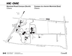
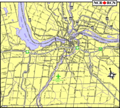
National Research Council Map
Montreal Road Campus visitor map, also in French. Provides location of campus buildings and roads.
192 miles away
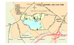
Memorial Lake State Park map
Detailed map of Memorial Lake State Park in Pennsylvania
192 miles away

Trough Creek State Park map
Detailed recreation map for Trough Creek State Park in Pennsylvania
192 miles away
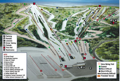
Blue Mountain Ski Area Ski Trail Map
Trail map from Blue Mountain Ski Area.
192 miles away
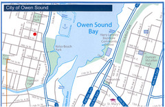
Owen Sound Map
Street map of Owen Sound
193 miles away
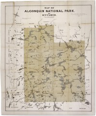
Algonquin National Park Map 1893
Map of Algonquin National Park of Ontario. "Prepared to accompany Report of Park...
193 miles away

Colonel Denning State Park map
Detailed map of Colonel Dening State Park in Pennsylvania
194 miles away
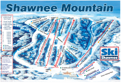
Shawnee Mountain Ski Trail Map
Trail map from Shawnee Mountain.
195 miles away
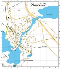
Parry Sound Town Map
195 miles away
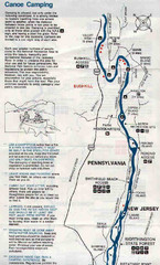
Deleware River Boat Map
195 miles away
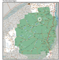
Adirondacks Lakes Map
Guide to lakes and waterways in the Adirondacks Park Preserve
195 miles away
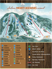
Mont Cascades Ski Trail Map
Trail map from Mont Cascades, which provides downhill skiing. This ski area has its own website.
196 miles away
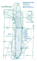
Mosquito Lake State Park map
Detailed recreation map for Mosquito Lake State Park in Ohio
197 miles away
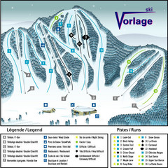
Ski Vorlage Ski Trail Map
Trail map from Ski Vorlage, which provides downhill skiing. This ski area has its own website.
197 miles away
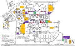
New York State University Uptown Campus Map
Map of the NYS University Campus, including all buildings, streets, and Visitors Parking...
197 miles away
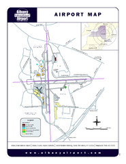
Albany International Airport Map
Official Map of the Albany International Airport in New York. Shows all terminals.
198 miles away
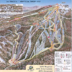
Blue Knob Four Seasons Ski Trail Map
Trail map from Blue Knob Four Seasons.
198 miles away
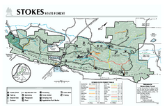
Stokes State Forest map
Trail map of Stokes State Park in New Jersey.
199 miles away
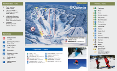
Edelweiss Valley Ski Trail Map
Trail map from Edelweiss Valley, which provides downhill skiing. This ski area has its own website.
199 miles away
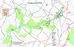
McConnells Mill State Park map
Detailed recreation map for McConnells Mill State Park in Pennsylvania
199 miles away

