
1871 Southern Ontario District Map
Map of 1871 Districts
135 miles away
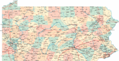
Pennsylvania Road Map
Pennsylvania detailed road map
136 miles away
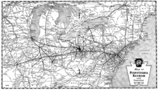
Pennsylvania Railroad System Map
Pennsylvania Railroad system map
136 miles away
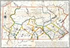
Pennsylvania Survey Map 1791
Survey Map 1791
136 miles away

Parker Dam State Park Map
Detailed recreation map of Parker Dam State Park in Pennsylvania
137 miles away
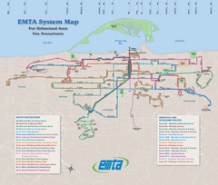
Erie Metro Bus routes Map
139 miles away

Presque Isle State Park map
Detailed recreation map for Presque Isle State Park in Pennsylvania
139 miles away
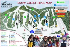
Ski Snow Valley Barrie Ski Trail Map
Trail map from Ski Snow Valley Barrie, which provides downhill skiing. This ski area has its own...
140 miles away
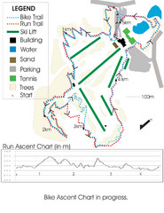
Chicopee Ski Club Summer Ski Trail Map
Trail map from Chicopee Ski Club, which provides downhill skiing. This ski area has its own website.
140 miles away
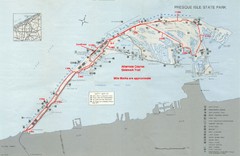
Erie Marathon Course Park Map
Map of marathon course and alternate course sidewalk trail for Erie Marathon in Presque Isle State...
140 miles away
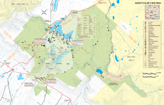
Ricketts Glen State Park map
Detailed recreation map of Ricketts Glen State Park in Pennsylvania
141 miles away

Clear Creek State Park map
Detailed map of Clear Creek State Park in Pennsylvania
141 miles away
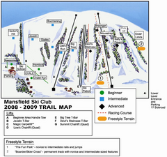
Ski Mansfield Ski Trail Map
Trail map from Ski Mansfield, which provides downhill skiing. This ski area has its own website.
142 miles away
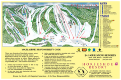
Horseshoe Resort Ski Trail Map
Trail map from Horseshoe Resort, which provides downhill and nordic skiing. This ski area has its...
142 miles away
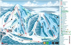
Heights of Horseshoe Ski Trail Map
Trail map from Heights of Horseshoe, which provides downhill skiing. This ski area has its own...
142 miles away
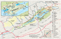
Bald Eagle State Park map
Detailed trail map of Bald Eagle State Park in Pennsylvania.
143 miles away
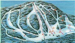
McCauley Mountain Ski Trail Map
Trail map from McCauley Mountain.
143 miles away

Cook Forest State Park map
Detailed trail map of Cook Forest State Park in Pennsylvania
143 miles away
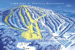
Elk Mountain Ski Trail Map
Trail map from Elk Mountain.
143 miles away

S. B. Elliott State Park map
Detailed recreation map for S. B. Elliott State Park in Pennsylvania.
143 miles away
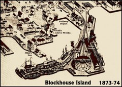
Blockhouse Island Map 1874
Bird’s Eye view map of Brockville created by artist Herman Brosius and the lithographers...
144 miles away
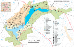
Lackawanna State Park Map
Detailed map of Lackawanna State Park in Pennsylvania.
146 miles away
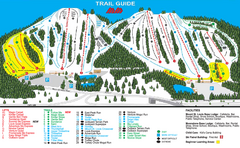
Mount St. Louis/ Moonstone Ski Trail Map
Trail map from Mount St. Louis/ Moonstone, which provides downhill skiing. This ski area has its...
146 miles away

Waterloo Tourist Map
Tourist map of Waterloo, Ontario and the St. Jacobs area. Shows business logos and phone numbers.
146 miles away
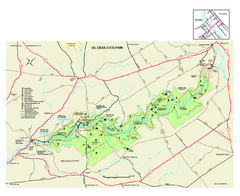
Oil Creek State Park map
Detailed recreation map for Oil Creek State Park in Pennsylvania
146 miles away

R. B. Winter State Park map
Recreation map for R. B. Winter State Park in Pennsylvania
147 miles away
Sir Sam’s Ski Area Ski Trail Map
Trail map from Sir Sam’s Ski Area, which provides downhill skiing. This ski area has its own...
147 miles away
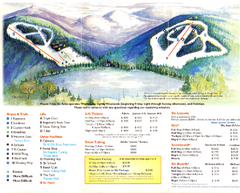
Mount Tone Ski Trail Map
Trail map from Mount Tone.
148 miles away

Milton State Park map
Detailed recreation map of Milton State Park in Pennsylvania
149 miles away
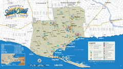
Norfolk County Tourist Map
Tourist map of Norfolk County, Ontario.
149 miles away
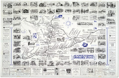
King's Highway Ontario Inn Map
Includes sketches of inns and guesthouses along the King's Highway in Ontario and...
151 miles away
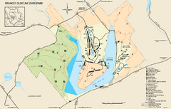
Frances Slocum State Park map
Detailed map of Frances Slocum State Park in Pennsylvania.
151 miles away
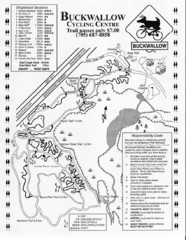
Buckwallow Trail Map
Biking trail map for Buckwallow Cycling Center
152 miles away

Black Moshannon State Park map
Detailed map for Moshannon State Park in Pennsylvania.
152 miles away
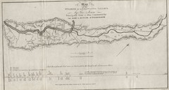
Wyoming and Lackawanna Valleys Map
Railbed from the coal mine at Carbondale to the canal on the Lackawaxen River. Historical map.
153 miles away
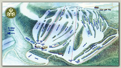
Devils Glen Ski Trail Map
Trail map from Devils Glen, which provides downhill skiing. This ski area has its own website.
154 miles away
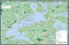
Kennisis Lakes Map
Panoramic topo map of Kennisis Lakes region
154 miles away
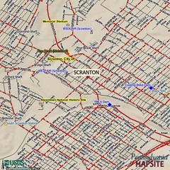
Scranton, Pennsylvania City Map
155 miles away

Ogdensburg, New York Historical Map
A wonderful highlight are the art reproductions of homes and buildings which surround the map...
156 miles away

Poe Valley State Park map
Detailed recreation map for Poe Valley State Park in Pennsylvania
157 miles away

