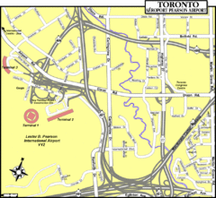
Toronto Airport Map
95 miles away
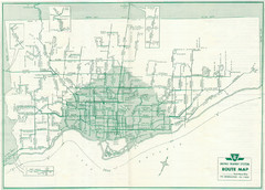
1962 Transit Toronto Guide Map
95 miles away
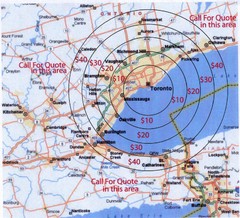
Transportation Rates in Toronto Map
Travel rates in Toronto, Canada
95 miles away
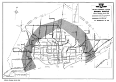
1954 Metro Transit System Map
95 miles away
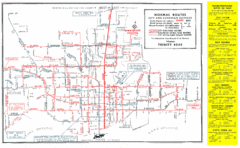
1952 Totonto Transit System Map
95 miles away
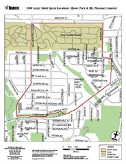
Moore Park Tourist Map
95 miles away
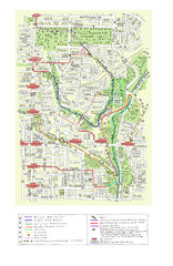
Toronto Brickworks Trail Map
Trail map of area around the Brickworks in Toronto, Canada
95 miles away

Ski Lakeridge Ski Trail Map
Trail map from Ski Lakeridge, which provides downhill skiing. This ski area has its own website.
95 miles away

Leonard Harrison State Park Map
Detailed map for Leonard Harrison State Park in Pennsylvania.
97 miles away
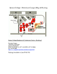
Seneca College - Newnham Campus Map
Seneca College - Newnham Campus Map. Located in Toronto, Canada. Shows all areas.
97 miles away
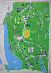
High Park Map
98 miles away
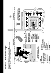
Humber College Lakeshore Campus Map
Humber College Lakeshore Campus Map. Map is of both East and West Campus. Shows all buildings.
99 miles away
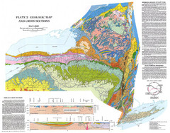
New York State Geologic Map
1:1,000,000 scale geological map of New York State
99 miles away

Terry Fox Run Trail Map
101 miles away

Mt. Pisgah State Park map
Detailed recreation map for Mt Pisgah State Park in Pennsylvania
102 miles away

Kinzua Bridge State Park Map
Detailed map of Kinzua Bridge State Park in Pennsylvania.
103 miles away

1978 Bradford County, Pennsylvania Map
104 miles away
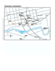
Downtown Jamestown Map
Tourist map of Downtown Jamestown, New York. Shows shops, parking, cinemas, hotels, and government...
105 miles away
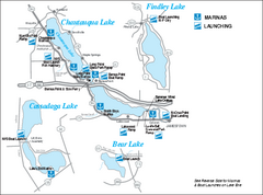
Marinas and Boat Ramps on Chautauqua and...
Recreation map of Chautauqua, Findley, Cassadaga, and Bear Lakes, New York. Shows marinas and boat...
106 miles away
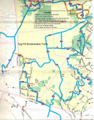
Tug Hill Trail Map
Tug Hill Area Snow Mobile Trail Map
106 miles away

Humber College North Campus Parking Map
107 miles away
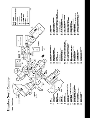
Humber College North Campus Map
Humber College North Campus Map. Shows all buildings.
107 miles away

Humber College North Campus Map
107 miles away

Ole Bull State Park Map
Detailed recreation map of Ole Bull State Park in Pennsylvania
107 miles away

Dry Hill Ski Area Ski Trail Map
Trail map from Dry Hill Ski Area.
107 miles away
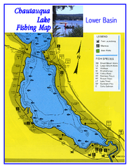
Southern Chautauqua Lake Fishing Map
Fishing map of southern Chautauqua Lake, New York. Shows marinas, boat ramps, state parks and fish...
108 miles away
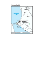
Bemus Point Map
Tourist map of Bemus Point, NY. Shows lodging, parks, shops, restaurants, and other points of...
108 miles away
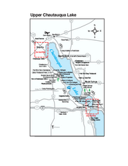
Upper Chautauqua Lake Map
Tourist map of upper Chautauqua Lake, New York. Shops, lodging, and other points of interest in the...
108 miles away
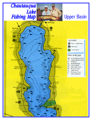
North Chautauqua Lake Fishing Map
Fishing map of northern Chautauqua Lake, New York. Shows marinas, boat ramps, state parks, and...
109 miles away
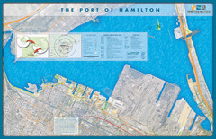
Port of Hamilton Map
Shows piers and tenants of Port of Hamilton, Ontario
109 miles away
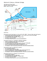
Mohawk College - Wentworth Campus Map
Mohawk College - Wentworth Campus Map. All buildings shown.
109 miles away
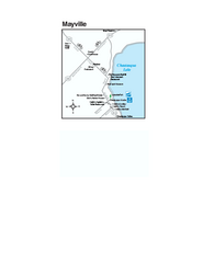
Downtown Mayville Map
Tourist map of Downtown Mayville, New York. Shows museums, restaurants, shops, government buildings...
109 miles away
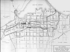
1959 Transit Routes of Hamilton Harbor Map
110 miles away
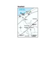
Westfield Map
Tourist map of Westfield, New York, and surrounding area. Shows shops, museums, boat ramps and...
110 miles away
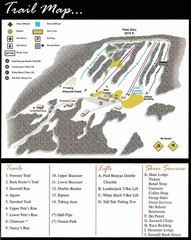
Ski Sawmill Ski Trail Map
Trail map from Ski Sawmill.
110 miles away
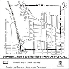
Strathcona Neighbourhood Map
112 miles away
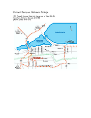
Mohawk College - Fennell Campus Map
Campus Map of Mohawk College of Applied Arts & Technology. Fennell Campus Map Shown.
112 miles away
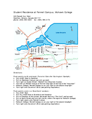
Mohawk College - Fennell Campus Student Residence...
Mohawk College - Fennell Campus Student Residence Halls Map Plan. All buildings shown.
112 miles away

Bucktail State Park Natural Area map
Detailed map of Bucktail State Park Natural Area in Pennsylvania
112 miles away

