Midtown Nashville and West End Map
267 miles away
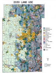
Kane County Land Use Map
Map of Land Use in Kane County. Includes color-coded zoning areas, streets, and waterways.
267 miles away

Kishwaukee Gorge Forest Preserve Map
Trail map of Kishwaukee Gorge Forest Preserve in Winnebago County, Illinois.
267 miles away

Six Flags Kentucky Kingdom Theme Park Map
Official Park Map of Six Flags Kentucky Kingdom in Kentucky.
267 miles away
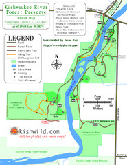
Kishwaukee River Forest Preserve Map
Trail map of Kishwaukee River Forest Preserve in Winnebago county, IL.
268 miles away
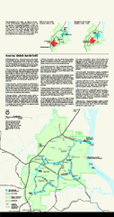
Shiloh National Military Park Official Park Map
Official NPS map of Shiloh National Military Park in Tennessee. The park is open every day except...
268 miles away
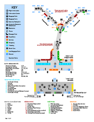
Louisville International Airport Terminal Map
Official Map of the Louisville International Airport. Shows all terminals and facilities.
268 miles away
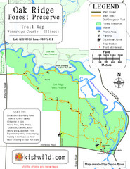
Oak Ridge Forest Preserve Map
Trail map of Oak Ridge Forest Preserve in Winnebago County, Illinois.
268 miles away
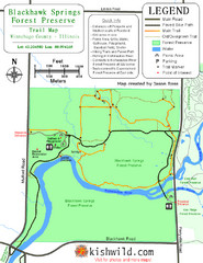
Blackhawk Springs Forest Preserve Map
Trail map of Blackhawk Springs Forest Preserve in Winnebago County, Illinois.
268 miles away

Nashville City Map
269 miles away
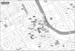
Downtown Nashville, TN Tourist Map
269 miles away
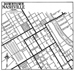
Downtown Nashville, TN Tourist Map
269 miles away
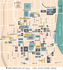
Nashville, TN Tourist Map
269 miles away
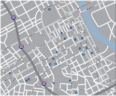
Nashville, TN Tourist Map
269 miles away
Nashville, TN Tourist Map
269 miles away
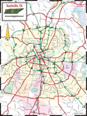
Nashville Road Map
Shows roads and major streets in Nashville, TN area
269 miles away
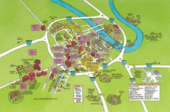
Nashville, TN Tourist Map
269 miles away
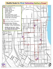
Nashville First Saturday Gallery Crawl Shuttle...
269 miles away
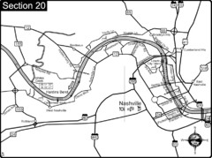
Nashville, TN-Cumberland River Map
The Cumberland River is an important waterway to the city of Nashville. Nashville is also a great...
269 miles away
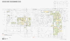
University of Illinois at Chicago Map
University of Illinois at Chicago Campus Map. All buildings shown.
269 miles away
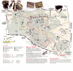
Percy Warner Park Map
269 miles away
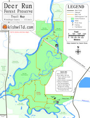
Deer Run Forest Preserve Map
Trail map of Deer Run Forest Preserve in Winnebago County, Illinois.
269 miles away
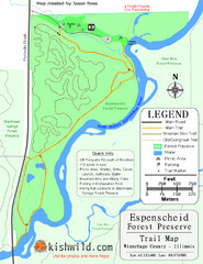
Espenscheid Forest Preserve Map
Trail map of Espenscheid Forest Preserve in Winnebago county, Illinois.
269 miles away
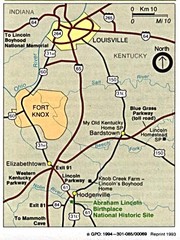
Louisville National Parks Map
National parks around Louisville.
269 miles away
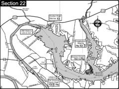
Old Hickory Lake-Cumberland River Map
Section 22 from the Cumberland River Guidebook shows the dam that forms Old Hickory Lake near...
270 miles away
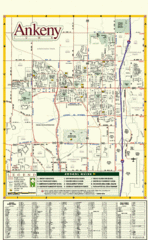
Ankeny City Map
City map of Ankeny, Iowa. Shows street index and schools.
270 miles away
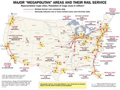
Amtrak Major Railway Map
Guide to major cities and rail lines connecting them
270 miles away
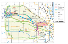
Northern Illinios Communter Transportation Map
Study Map with Activity Centers
270 miles away
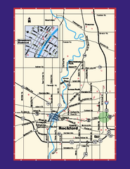
Rockford, Illinois Map
Tourist map of Rockford, Illinois. Museums, parks, hotels and other points of interest are shown.
271 miles away
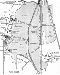
William W. Powers State Park, Illinois Site Map
272 miles away

Salt Creek Map
Picnic Areas and Trail Map
273 miles away

Villa Olivia Ski Trail Map
Trail map from Villa Olivia, which provides downhill, night, and terrain park skiing. It has 7...
273 miles away
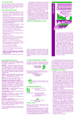
Charlestown State Park Map
273 miles away

Lib Conservation Area Map
Trail map of Lib Conservation Area in Boone County, Illinois.
273 miles away

Nashville Zoo Map
274 miles away
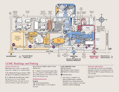
Layola University Medical Campus Map
Map of Layola University Campus. Shows specific location of the hospital, emergency department...
274 miles away
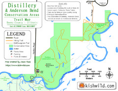
Distillery Conservation Area Map
Trail map of Distillery and Anderson Bend Conservation Areas in Boone County, IL.
274 miles away
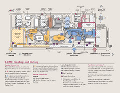
Loyola University Medical Center Map
Visitor map of Loyola University Medical center including Hospital/ Emergency and Output center...
274 miles away

