
Columbus, Ohio City Map
422 miles away
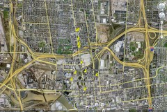
Restaurants in Columbus, Ohio Map
Local and chain restaurants in Columbus, Ohio
422 miles away

Secor Metropark Map
423 miles away
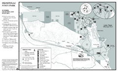
Frontenac State Park Summer Map
Map of park with detail of trails and recreation zones
423 miles away

Atlanta, Texas State Park Map
423 miles away

Atlanta, Texas Park Facility and Trail Map
423 miles away

Mount Frontenac Ski Trail Map
Trail map from Mount Frontenac.
423 miles away
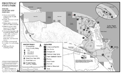
Frontenac State Park Winter Map
Map of park with detail of trails and recreation zones
423 miles away
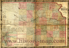
Kansas Railroad Map 1867
Here for your perusal is a sectional map of the state of Kansas showing the route of the Union...
423 miles away
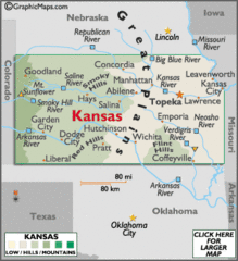
Kansas Elevations Map
423 miles away
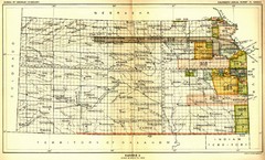
Kansas Native American Territories 1866-1867 Map
489., 492 Cherokee, 19 Jul 1866 (on Indian Territory Map 22, Kansas, Map 27) 495. Sauk and Fox of...
423 miles away
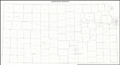
Kansas Zip Code Map
Check out this Zip code map and every other state and county zip code map zipcodeguy.com.
423 miles away
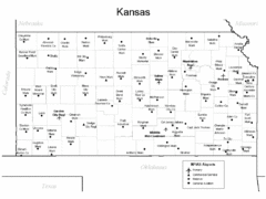
Kansas Airports Map
423 miles away
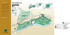
Side Cut Metropark Map
424 miles away
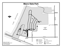
Mears State Park, Michigan Site Map
424 miles away
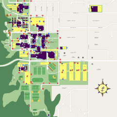
Minnesota State University Mankato Campus Map
Campus map of Minnesota State University Mankato
425 miles away
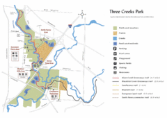
Three Creeks Park Map
425 miles away
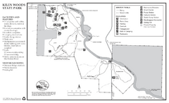
Kilen Woods State Park Winter Map
Winter seasonal map of park with detail of trails and recreation zones
426 miles away
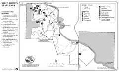
Kilen Woods State Park Summer Map
Summer seasonal map of park with detail of trails and recreation zones
426 miles away

Mount Kato Ski Area Ski Trail Map
Trail map from Mount Kato Ski Area.
426 miles away
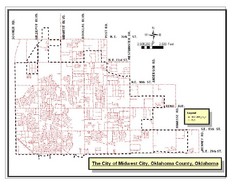
Midwest City Map
City map of Midwest City, Oklahoma
427 miles away
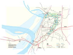
Vicksburg National Military Park Official Park Map
Official NPS map of Vicksburg National Military Park in Mississippi. Map shows all areas. Open...
427 miles away

Swan Creek Metropark Map
428 miles away
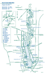
Alum Creek State Park map
Recreational map for Alum Creek State Park in Ohio
428 miles away
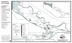
Minneopa State Park Map
Map of park with detail of trails and recreation zones
428 miles away

Camp Miakonda Map
429 miles away
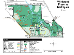
Wildwood Preserve Metropark Map
429 miles away
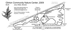
Clinton Community Nature Center Map
A relaxing walk through the Clinton Community Nature Center.
429 miles away
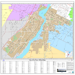
De Pere City Map
Official street map of city of De Pere, Wisconsin
429 miles away
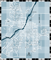
Northfield Street Map
Street map of Northfield, Minnesota
430 miles away
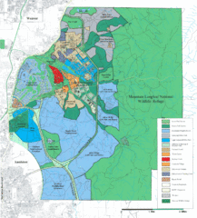
Mcclellan Land Use Map
"When the last note of taps played and the garrison flag was lowered at Fort McClellan in...
430 miles away
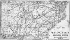
1865 Southern US States Railway Map
Guide to railroad travel in the southern United States
430 miles away

Tar Hollow State Park map
Detailed recreation map for tar Hollow State Park in Ohio
430 miles away

Welch Village Ski Area Ski Trail Map
Trail map from Welch Village Ski Area, which provides downhill, night, and terrain park skiing. It...
430 miles away
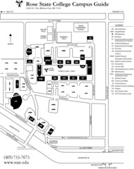
Rose State College Campus Map
Campus Guide to Rose State College, OK
430 miles away
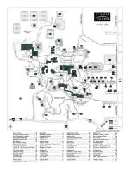
St. Olaf College Map
Campus map of St. Olaf College with index
430 miles away

St. Olaf College Map
Campus map of St. Olaf College
430 miles away
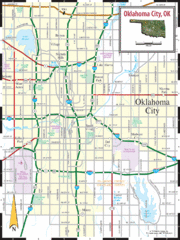
Oklahoma City, Oklahoma City Map
430 miles away

Toledo Zoo Map
431 miles away
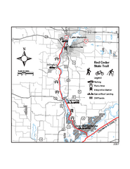
Red Cedar State Trail Map
Detailed trail map.
431 miles away

