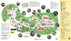
Knoxville Zoo Map
412 miles away

Providence Metropark Map
412 miles away
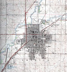
Lemars Iowa Topo Map
USGS topo map of Lemars, Iowa
412 miles away
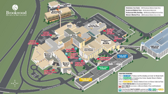
Brookwood Medical Center Map
412 miles away

Downtown Appleton Map
412 miles away
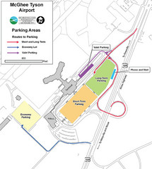
McGhee Tyson Airport Map
413 miles away
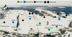
Cannonsburg Ski Area Ski Trail Map
Trail map from Cannonsburg Ski Area.
413 miles away
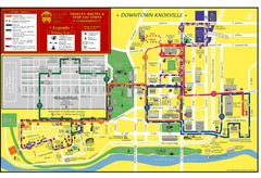
Knoxville, TN Tourist Map
413 miles away
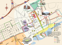
Knoxville, TN Tourist Map
413 miles away
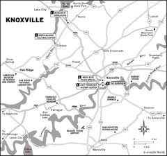
Knoxville, TN Tourist Map
413 miles away

Stone State Park Map
Map of trails and park facilities in Stone State Park.
413 miles away
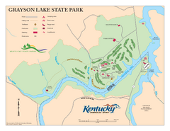
Grayson Lake State Park Map
Map of trails, facilities and golf course in Grayson Lake State Park.
413 miles away
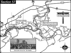
Knoxville, TN Tennessee River/Holston River...
This is the source of the Tennessee River at the confluence of the Holston River and French Broad...
414 miles away
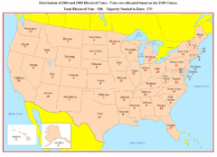
Electoral Votes by State Map
Electoral vote distribution by state
415 miles away

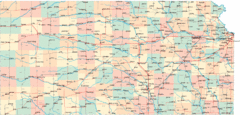
Kansas Map Circa 1910
415 miles away
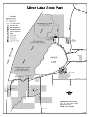
Silver Lake State Park, Michigan Site Map
416 miles away

Oak Openings Metropark Map
416 miles away

Lake Michigan Depths Map
417 miles away

Downtown Jackson Restaurant Map
Downtown Jackson restaurant map with many delicious locations!
417 miles away
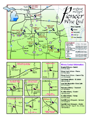
Pioneer Wine Trail Map
Tourist map of the Pioneer Wine Trail in Southeast Michigan. Shows wineries, vineyards, lodging and...
417 miles away
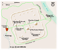
Hopewell Culture National Historical Park...
Official NPS map of Hopewell Culture National Historical Park in Ohio. Map shows all areas. he...
418 miles away
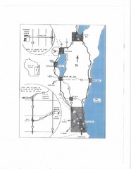
Eastern Wisconsin Map
418 miles away
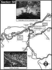
Harlan, KY-Cumberland River Headwaters Map
Section 58 of the Cumberland River Guidebook shows the beginning of the Cumberland River at the...
418 miles away
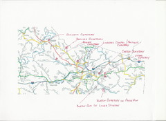
Carter County Cemetery Map
Cemeteries identified in Handwriting on map of Carter County with roads, cities and rivers.
418 miles away
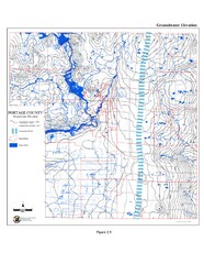
Groundwater Elevation of Portage County Map
Using the water table elevation map, generalized groundwater flow directions can be estimated.
418 miles away
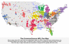
NFL Fan Bases Map
Shows US fan bases of NFL teams
419 miles away
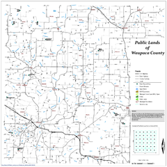
Public Lands of Waupaca County Map
419 miles away

Farnsworth/Bend View Metropark Map
419 miles away
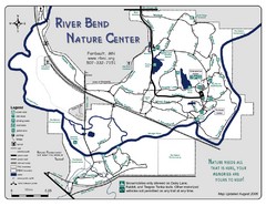
River Bend Nature Center Map
420 miles away
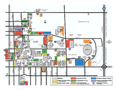
Bowling Green State University - Main Campus Map
Bowling Green State University - Main Campus Map. All buildings shown.
420 miles away
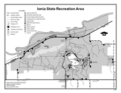
Ionia State Recreation Area, Michigan Site Map
420 miles away

Columbus Bike Map
Bike trails in Columbus.
420 miles away
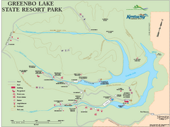
Greenbo Lake State Resort Park map
Detailed recreation map for Greenbo Lake State resort park in Kentucky
420 miles away
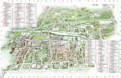
Ohio State University - main campus map
Map of main Columbus, Ohio campus of Ohio State University. 51,818 total students enrolled in 2006...
421 miles away

Sakatah Lake State Park Map
map of park with detail of trails and recreation zones
421 miles away
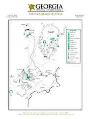
Fort Mountain State Park Map
Map of park with detail of trails and recreation zones
421 miles away

The Ohio State University Map
421 miles away
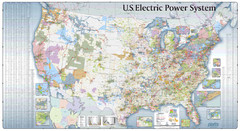
US Electric Power System Map
Map showing the US electric power system. from site: "shows power generation and transmission...
421 miles away
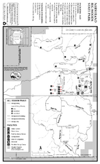
Nerstrand-Big Woods State Park Map
map of park with detail of trails and recreation zones
421 miles away

