
Waverly Rail Trail Map
302 miles away

Wilmot Mountain Trail Map
Trail map from Wilmot Mountain's website Jan 2008, colorized to show trail difficulties
303 miles away
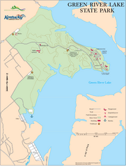
Green River Lake State Park Map
Map of trails and facilities in Green River Lake State Park.
303 miles away

Wilmot Mountain Ski Trail Map
Trail map from Wilmot Mountain.
303 miles away
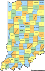
Indiana Counties Map
303 miles away
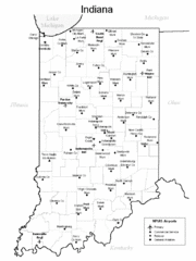
Indiana Airports Map
303 miles away
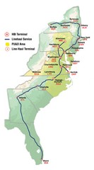
Linehaul Service Area Map
Service Area Map of Linehaul Surface Transportation
304 miles away
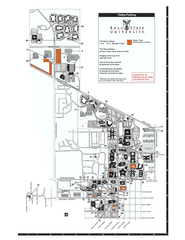
Ball State University Map
Ball State University Campus Map. All buildings shown.
304 miles away

White River State Trail Map
Take the White River Trail from Elkhom to Burlington through nature's backyard.
305 miles away
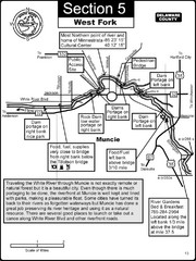
Muncie, IN White River West Fork Map
This is a page from the White River Guidebook. The map shows important information for boaters and...
305 miles away
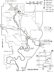
Volga River State Recreation Area Map
Map of trails and park facilities in Volga River State Recreation Area.
305 miles away
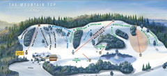
The Mountain Top at Grand Geneva Resort Ski Trail...
Trail map from The Mountain Top at Grand Geneva Resort.
306 miles away
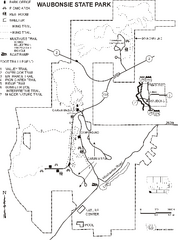
Waubonsie State Park Map
Map of trails and park facilities in Waubonsie State Park.
307 miles away
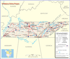
Tennessee Tourist Map
307 miles away
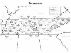
Tennessee Airports Map
307 miles away
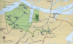
Civil War Era Tennessee State Battle Map
307 miles away
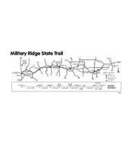
Military Ridge State Trail Map
Simple map marking trail route.
308 miles away
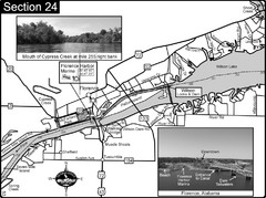
Florence, AL Tennessee River Map
For boating navigational information and river road travel along the Tennessee River. This map...
308 miles away
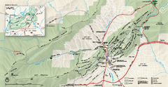
Hot Springs National Park map
Official NPS map of Hot Springs National Park in Hot Springs, Arkansas.
308 miles away
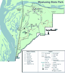
Wyalusing State Park Map
Detailed Park Map.
308 miles away
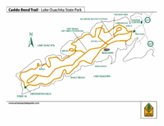
Lake Ouachita State Park Trail Map
Map of Caddo Bend Trail in Lake Ouachita State Park.
308 miles away
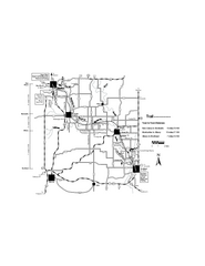
Sugar River Map
Towns, roads and rivers are all clearly marked on this map.
309 miles away

Heritage Acres RV Park Map
Map of Heritage Acres RV Park in Tuscumbia, Alabama showing lots and roos. Rows are named after...
310 miles away
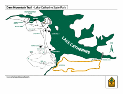
Lake Catherine State Park Trails Map
Hiking Trail map for Lake Catherine State Park also showing overview of the lake and park...
311 miles away
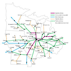
Midwest Direct Route Map
The most direct routes in the Midwest United States
311 miles away
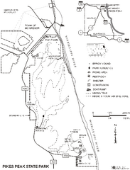
Pikes Peak State Park Map
Map of trails, effigy mounds and park facilities in Pikes Peak State Park.
311 miles away
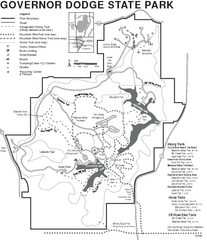
Governor Dodge State Park Map
Bike, Horse, trek, and recreational locations marked on this map.
312 miles away

Alpine Valley Resort Ski Trail Map
Trail map from Alpine Valley Resort.
313 miles away
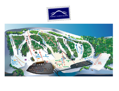
Perfect North Slopes Ski Trail Map
Trail map from Perfect North Slopes, which provides downhill, nordic, and terrain park skiing. It...
314 miles away
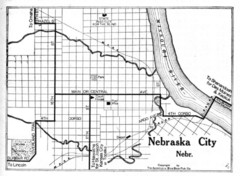
Nebraska City 1920 Map
314 miles away
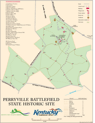
Perryville Battlefield State Historic Site Map
Map of trails and interpretive markers for the historical site of Perryville Battlefield.
315 miles away
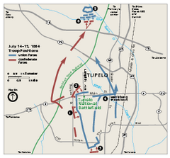
Tupelo National Battlefield Official Map
Official NPS map of Tupelo National Battlefield in Mississippi. Tupelo National Battlefield (NB...
315 miles away
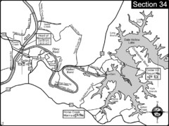
Celina, TN Dale Hollow Lake-Cumberland River Map
Celina Tennessee is the location for the head of navigation for the Cumberland River at the fork of...
315 miles away

Tyrol Basin Trail Map
Trail map taken from website Jan 2008
315 miles away
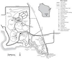
Lake Kegonsa State Park Map
Ball fields, drinking fountains, trails, and more easily guide you around this beautiful park.
316 miles away
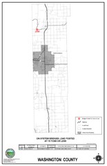
School Bus Route Map
316 miles away
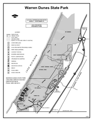
Warren Dunes State Park, Michigan Site Map
317 miles away
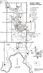
Brushy Creek State Park Map
Map of hiking, biking and equestrian trails, lake depths and park facilities in Brushy Creek State...
319 miles away
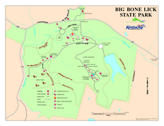
Big Bone Lick State Park Map
Map of trails and facilities for Big Bone Lick State Park.
320 miles away
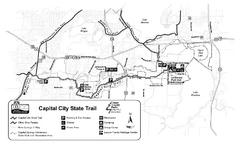
Capitol City State Trail Map
320 miles away

