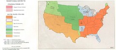
Territorial Expansion in Eastern United States...
275 miles away
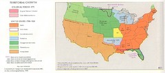
Territorial Expansion in Eastern United States...
275 miles away
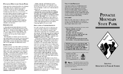
Pinnacle Mountain State Park Map
Map of the Pinnacle Mountain State Park including trails, park sites and amenities.
275 miles away
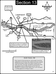
Logansport, IN Wabash River & Eel River Map
This is a page from the Wabash River Guidebook. The map shows important information for boaters and...
275 miles away
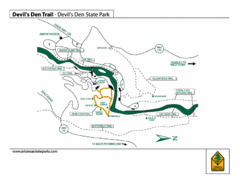
Devil's Den State Park Trail Map
Several trails marked on map for Devil's Den State Park.
275 miles away
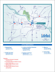
Little Rock Map
275 miles away
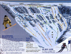
Sundown Mountain Ski Trail Map
Trail map from Sundown Mountain.
275 miles away
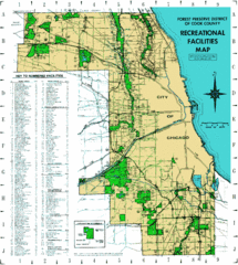
Cook County Recreation Map
Map of forest preserve recreational facilities in Cook County, Illinois.
276 miles away
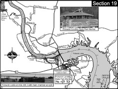
Pickwick Lake Tennessee River Map
For boating navigational information and river road travel along the Tennessee River. This map...
276 miles away
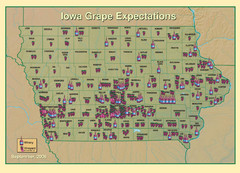
Iowa Grape Expectations Map
Shows concentration of vineyards and wineries across state of Iowa.
276 miles away

New Wine Township Iowa Atlas Map
Atlas road map of New Wine, Iowa. Year unknown. Scanned.
276 miles away
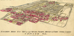
Chicago Meatpacking District and Stockyards (1890...
Charles Rascher's illustration of the Chicago meatpacking district in 1890.
277 miles away
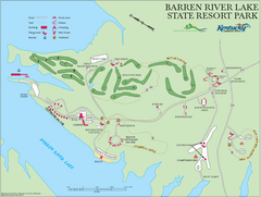
Barren River Lake State Resort Park Map
Map of facilities and golf course in Barren River Lake State Resort Park.
277 miles away
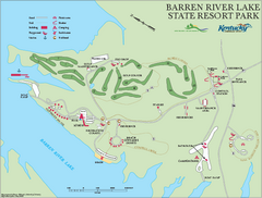
Barren River State Park map
Recreation map for Barren River Lake State Park in Kentucky
277 miles away
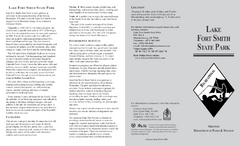
Lake Fort Smith State Park Map
Map of Lake Fort Smith State Park showing visitor center and park amenities.
277 miles away
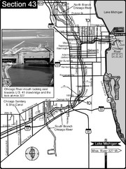
Chicago, IL Sanitary & Ship Canal/Chicago...
This is the beginning of the Illinois Waterway that connects Lake Michigan to the Mississippi River...
277 miles away
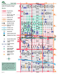
Oak Park Transit Map
Transit Guide to Oak Park, Illinois
277 miles away
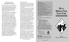
Delta Heritage Trail State Park Map
Map of Arkansas Historical Delta Heritage Trail both completed and uncompleted sections.
277 miles away
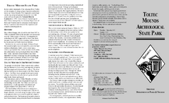
Toltec Mounds Archeological State Park Map
Map of the trails and earthworks sites of the Toltec Mounds Archeological State Park.
277 miles away
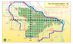
Little Rock City Map
City map of Little Rock, Arkansas with section designations
277 miles away
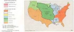
Territorial Expansion in Eastern United States...
278 miles away
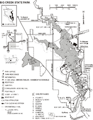
Big Creek State Park Map
Map of trails, lake depths and facilities in Big Creek State Park.
278 miles away
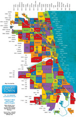
Chicago Neighborhoods Map
Map of Chicago identifying the different neighborhoods in the city
278 miles away
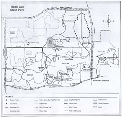
Rock Cut State Park, Illinois Site Map
278 miles away

Rock Cut State Park Map
Trail map of Rock Cut State Park in Winnebago County, Illinois.
278 miles away
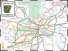
Little Rock, Arkansas City Map
279 miles away

Chicago Train Map
Official map of the Chicago Rail System. CTA's Rail System has seven branches, differentiated...
279 miles away
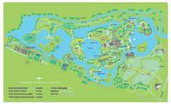
Chicago Botanic Garden Map
279 miles away
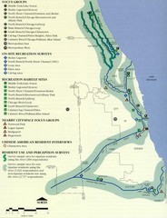
Map of Chicago River with Emphasis on...
A map of the Chicago River with the emphasis on human use and awareness of the river.
279 miles away
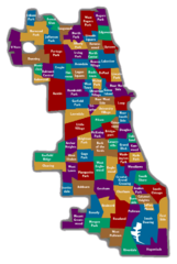
Chicago Neighborhood Map
279 miles away
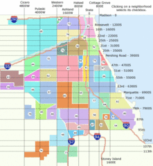
Chicago Neighborhood Map
279 miles away
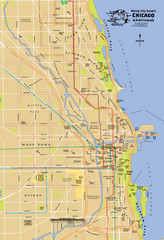
Chicago Neighborhood Map
279 miles away
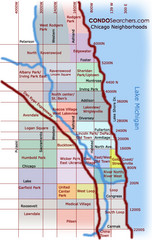
Chicago Neighborhood Map
279 miles away
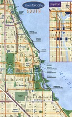
Chicago Bike Map
279 miles away

Chicago Train System Map
279 miles away

Chicago Public Transportation Map
279 miles away
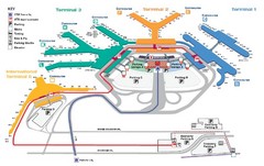
Chicago O'hare Airport Map
279 miles away
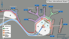
Chicago O'hare Airport Map
279 miles away
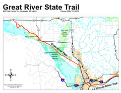
Great River State Trail Map
Nice hike through natural settings along a beautiful river.
279 miles away

