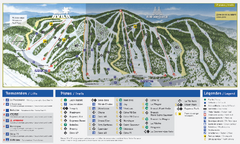
Mont Avila Ski Trail Map
Trail map from Mont Avila, which provides downhill skiing. This ski area has its own website.
957 miles away
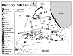
Branbury State Park map
Campground map of Branbury State Park in Vermont
957 miles away
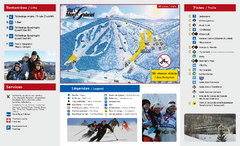
Mont Gabriel Ski Trail Map
Trail map from Mont Gabriel, which provides downhill skiing. This ski area has its own website.
957 miles away
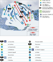
Le Chantecler Ski Trail Map
Trail map from Le Chantecler, which provides downhill skiing. This ski area has its own website.
957 miles away
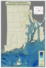
Rhode Island Shaded Bathymetry Map
Bathymetric map of Rhode Island with Narrangansett Bay and Rhode Island Sound. Graduated...
958 miles away
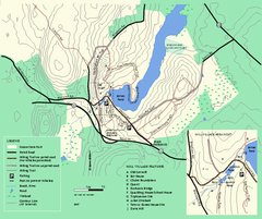
Moore State Park trail map
Trail map of Moore State Park in Massachusetts.
958 miles away
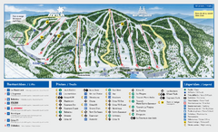
Mont Saint-Sauveur Ski Trail Map
Trail map from Mont Saint-Sauveur, which provides downhill skiing. This ski area has its own...
958 miles away
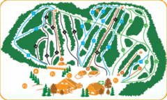
Vallee Bleue Ski Trail Map
Trail map from Vallee Bleue, which provides downhill skiing. This ski area has its own website.
958 miles away
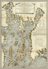
Narrangansett Bay Map 1777
"A Topographical CHART of the BAY of NARRAGANSET in the Province of NEW ENGLAND. with the...
958 miles away
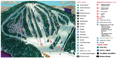
Belle Neige Ski Trail Map
Trail map from Belle Neige, which provides downhill skiing. This ski area has its own website.
959 miles away
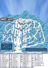
Mont Alta Ski Trail Map
Trail map from Mont Alta, which provides downhill skiing. This ski area has its own website.
959 miles away
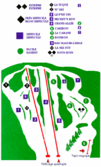
Mont Habitant Ski Trail Map
Trail map from Mont Habitant, which provides downhill skiing. This ski area has its own website.
959 miles away
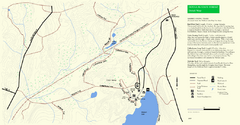
Douglas State Park Detail Map
960 miles away
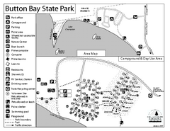
Button Bay State Park Campground Map
Campground map of Button Bay State Park in Vermont
960 miles away
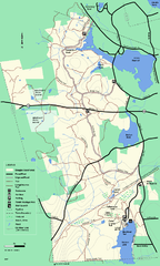
Douglas State Forest trail map
Trail map of the Douglas State Forest in Massachusetts
960 miles away
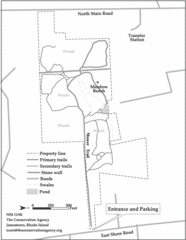
Parker Farm Trail Map
961 miles away
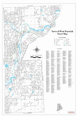
West Warwick Town Map
Street map of W. Warwick
962 miles away
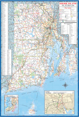
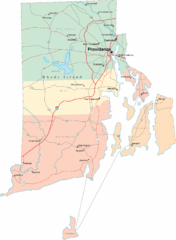
Rhode Island Road Map
Official Rhode Island state highway map. Insets show Newport and Providence.
962 miles away
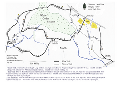
Sprague Farm - Glocester Land Trust Map
962 miles away

Mine Brook Wildlife Management Area Map
962 miles away
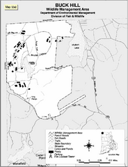
Buck Hill Wildlife Management Area Map
963 miles away
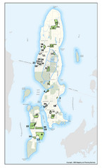
Conanicut Island Land Trust Map
Shows 430 acres of property on Conanicut Island, RI stewarded by the Conanicut Island Land Trust
963 miles away
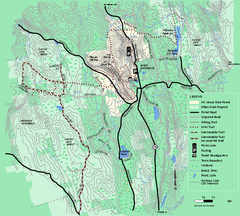
Mt. Grace State Forest trail map
Trail map of Mt. Grace State Forest near Warwick, Massachusetts.
963 miles away
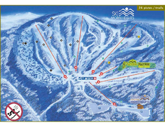
Ski Morin Heights Ski Trail Map
Trail map from Ski Morin Heights, which provides downhill skiing. This ski area has its own website.
963 miles away
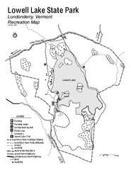
Lowell Lake State Park map
Campground map for Lowell Lake State Park in Vermont
963 miles away
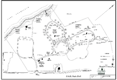
D.A.R. State Park map
Map of D.A.R. State park in Vermont
963 miles away
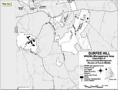
Durfee Hill Wildlife Management Area Map
964 miles away
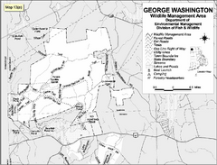
George Washington Wildlife Management Area Map
964 miles away
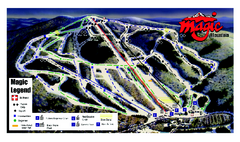
Magic Mountain Ski Trail map
Official ski trail map of Magic Mountain ski area from the 2006-2007 season.
964 miles away
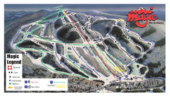
Magic Mountain Ski Trail Map
Trail map from Magic Mountain.
964 miles away
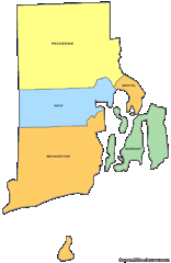
Rhode Island Counties Map
965 miles away
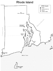
Rhode Island Airports Map
965 miles away
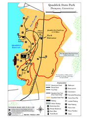
Quaddick State Park Trail Map
965 miles away
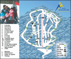
Mont Avalanche Ski Trail Map
Trail map from Mont Avalanche, which provides downhill skiing. This ski area has its own website.
965 miles away
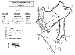
Pulaski State Park Map
965 miles away
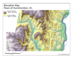
Elevation Map of Dummerston, Vermont
This Hypsometric map is a map that distinguishes elevations progression within a specific...
965 miles away
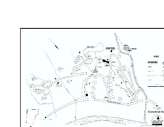
Townshend State Park Campground Map
Campground map of Townshend State Park in Vermont
966 miles away
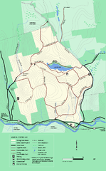
Erving State Park winter use map
Winter use map of the Erving State Park in Massachusetts
966 miles away
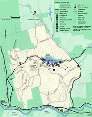
Erving Summer trail map
Summer use map of Erving State Park in Massachusetts.
967 miles away

