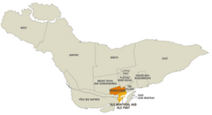
Montreal Neighborhood Map
941 miles away
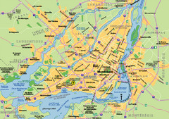
Montreal City Map
City map of Montreal with main roads
941 miles away
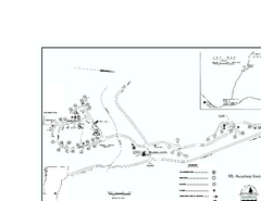
Ascutney State Park map
Campground map of Ascutney State Park in Vermont
941 miles away
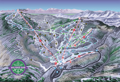
Mad River Glen Ski Trail Map
Trail map from Mad River Glen, which provides downhill skiing. It has 5 lifts servicing 45 runs...
941 miles away
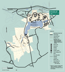
Hopkinton State Park trail map
Trail map of Hopkinton State Park in Massachusetts
941 miles away
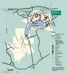
Hopkinton State Park trail map
Trail map of Hopkinton State Park in Massachusetts
941 miles away
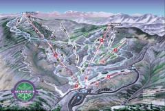
Mad River Glen Ski Area Trail Map
Official ski trail map of Mad River Glen ski area from the 2006-207 season.
942 miles away
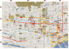
Montreal Downtown Map
Street map of downtown Montreal, Quebec. In French.
942 miles away
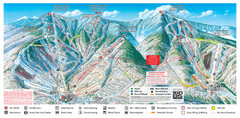
Sugarbush Resort Ski Trail Map
Trail map from Sugarbush Resort.
942 miles away
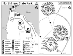
North Hero State Park Campground Map
Campground map of North Hero in Vermont
942 miles away
Mt. Watatic to Wachusett Mountain, Massachusetts...
942 miles away
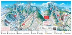
Sugarbush Resort ski trail map 2006-07
Official ski trail map of Sugarbush ski area from the 2006-2007 season.
942 miles away
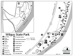
Wilgus State Park Campground Map
Campground map for Wilgus State Park in Vermont
942 miles away
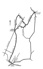
30K Race Course Map
Green Mountain Athletic Association Common to Common 30K Course Map in Essex Junction, VT
942 miles away
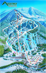
Ascutney Mountain Ski Trail Map 2006-07
Official ski trail map of Ascutney ski area from the 2006-2007 season.
943 miles away
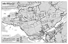
Montreal Bike Route Map
Shows city bike routes. In French.
943 miles away
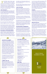
Mt. Pisgah Map - Northboro, Berlin, Boylston Mass
944 miles away
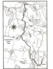
Monoosnoc Trail Map
944 miles away
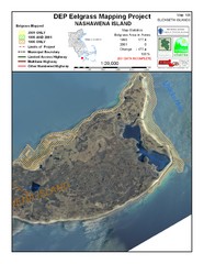
Nashawena Island Eelgrass Map
944 miles away
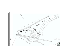
Sand Bar State Park Map
Campground map of Sand Bar State Park in Vermont
944 miles away
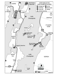
State Parks of the Champlain Islands Map
Map of the various State Parks of the Inland Sea / Lake Champlain area in Vermont
944 miles away
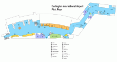
Burlington International Airport Terminal Map
Official Terminal Map of Burlington International Airport. All areas shown.
945 miles away
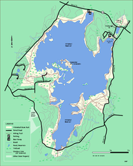
Whitehall State Park trail map
Trail map of Whitehall State Park in Massachusetts.
945 miles away
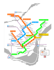
Montreal Metro Map
946 miles away
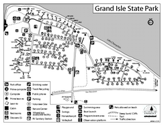
Grand Isle State Park Campground Map
Campground map for Grand Isle State Park in Vermont
946 miles away
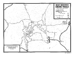
Mount Monadnock State Park Map
Official hiking map of the park. With its thousands of acres of protected highlands, 3,165-ft...
946 miles away
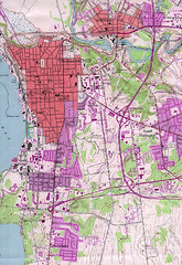
Burlington Vt 87 Map
Topographical map of the city of Burlington, Vt.
946 miles away
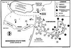
Monadnock State Park map
Campground map of Monadnock State Park in New Hampshire
946 miles away
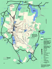
Leominster State Forest trail map
Trail map of Leominster State Forest in Massachusetts
946 miles away
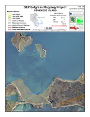
Penekese Island Eelgrass Map
946 miles away
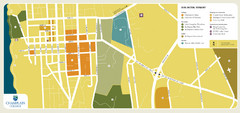
Burlington, Vermont City Tourist Map
The city of Burlington, Vermont
947 miles away
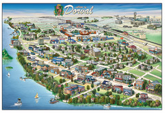
Pictorial map of Dorval
947 miles away
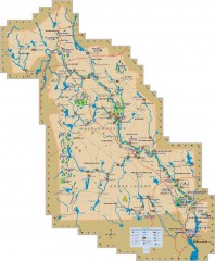
Blackstone Valley tourist map
Tourist map of the Blackston Valley in Rhode Island and Massachusetts. Shows hiking, biking, and...
947 miles away
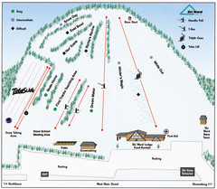
Ski Ward Ski Trail Map
Trail map from Ski Ward.
947 miles away
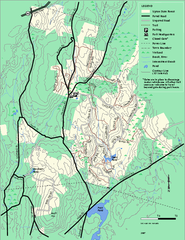
Upton State Forest trail map
Trail map for Upton State Forest in Massachusetts.
947 miles away
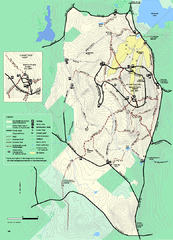
Wachusett Mountain State Reservation trail map
Trail map of Wachusett Mountain State Reservation in Massachusetts.
949 miles away
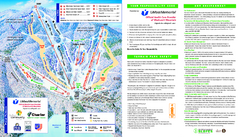
Wachusett Mountain Ski Trail Map
Trail map from Wachusett Mountain.
949 miles away
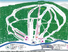
Granite Gorge Ski Trail Map
Trail map from Granite Gorge. This ski area opened in 2005.
949 miles away
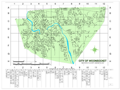
Woonsocket Street Map
Street map of Woonsocket, Rhode Island. Shows street legend.
950 miles away
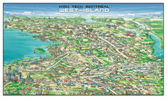
The West-Island Map
Panoramic illustration of High tech business in Montreal's West-Island
950 miles away

