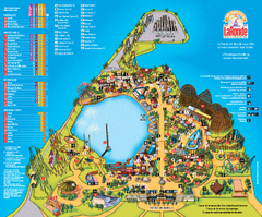
Six Flags La Ronde Theme Park Map
Official Park Map of Six Flags La Ronde Theme Park in Montreal, Quebec.
937 miles away
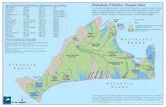
Martha's Vineyard Watershed Map
937 miles away
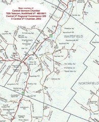
Waitsfield, Vermont City Map
937 miles away
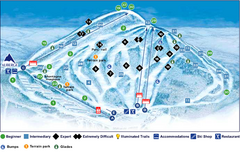
Val Saint-Come Ski Trail Map
Trail map from Val Saint-Come, which provides downhill skiing. This ski area has its own website.
938 miles away
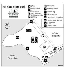
Kill Kare State Park map
Campground map of Kill Kare State park in Vermont
938 miles away
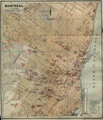
Antique map of Montreal from 1894
"Montreal" from Baedeker, Karl. The Dominion of Canada with Newfoundland and an Excursion...
938 miles away
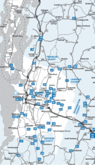
Chittenden County Map
938 miles away
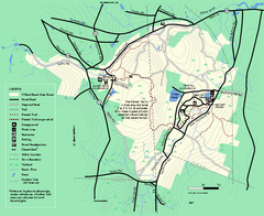
Willard Brook State Forest trail map
Trail map of Willard Brook State Forest in Massachusetts.
938 miles away
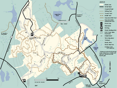
F. Gilbert Hills State Forest trail map
F. Gilbert Hills State Forest trail map in Massachusetts.
938 miles away
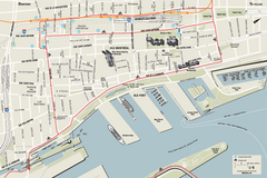
Old Montreal and Old Port Bike Map
Bike route map of Old Montreal and Old Port area
938 miles away
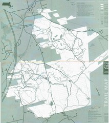
Freetown State Forest Map
Freetown State Forest Map showing mountain biking trails
939 miles away
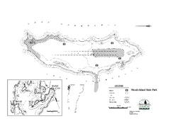
Woods Island State Park Campground Map
Campground map of Woods Island State Park in Vermont
939 miles away
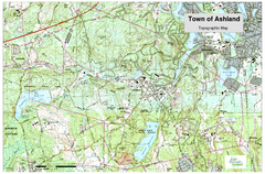
Ashland, MA - Topo Map
Map is provided by the town of Ashland, MA. See town's website for additional maps and...
939 miles away
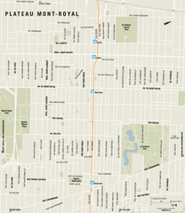
Plateau Mont Royal Map
939 miles away
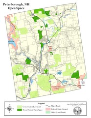
Peterborough Open Space Map
Map of open space lands in Peterborough, New Hampshire
939 miles away
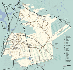
Freetown-Fall River State Forest trail map
Trail map of Freetown-Fall River State Forest in Massachusetts
939 miles away
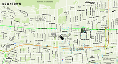
Downtown Montreal Map
Street map of central Montreal. Shows access to the metro and commuter train
939 miles away
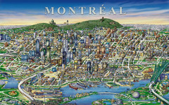
montreal Downtown Map
939 miles away
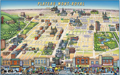
Plateau Mont-Royal Map
Pictorial view of Plateau Mont-Royal
939 miles away
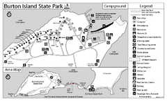
Burton Island State Park map
Campground map of Burton Island State Park in Vermont
939 miles away
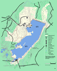
Ashland State Park Map
Map of Ashland State Park in Massachusetts.
940 miles away
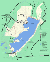
Ashland State Park Map
Clear map and legend marking trails, parking, facilities and more.
940 miles away
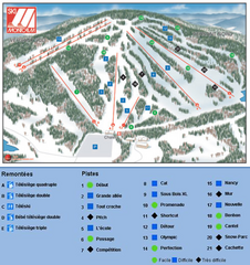
Ski Montcalm Ski Trail Map
Trail map from Ski Montcalm, which provides downhill skiing. This ski area has its own website.
940 miles away
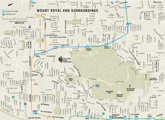
Mount Royal and Surroundings Map
940 miles away
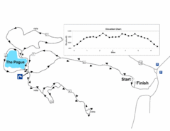
Mt. Tom road to the Pogue race course map
View Course Map and Elevations for the Mt. Tom road to the Pogue 6.1 mile run in Woodstock, VT.
940 miles away
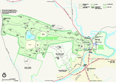
Marsh-Billings-Rockefeller National Historical...
Official NPS map of Marsh-Billings-Rockefeller National Historical Park in Vermont. Shows all areas...
940 miles away
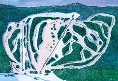
Suicide Six Ski Trail Map
Trail map from Suicide Six.
940 miles away
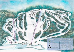
Suicide Six Ski Trail map
Ski trail map of Suicide Six ski area, owned by the Woodstock Inn in Woodstock, VT
940 miles away
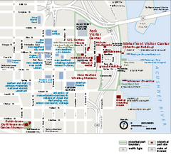
New Bedford Whaling National Historical Park...
Official NPS map of New Bedford Whaling National Historical Park in Massachusetts. Map shows all...
940 miles away
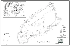
Knight Island State Park Campground Map
Map of Knight Island State Park in Vermont
941 miles away
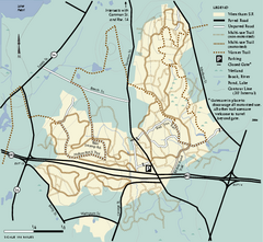
Wrentham State Forest trail map
Trail map of Wrentham State Forest in Massachusetts.
941 miles away
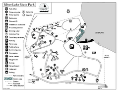
Silver Lake State Park Campground Map
Campground map of Silver Lake State Park in Vermont
941 miles away
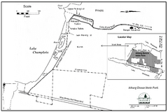
Alburg Dunes State Park map
Map of Alburg Dunes State Park in Vermont.
941 miles away
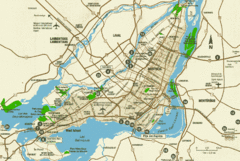
Montreal Tourist Map
941 miles away
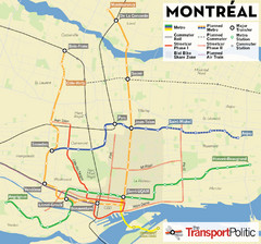
Montreal Tourist Map
941 miles away
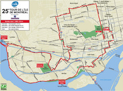
Montreal Tourist Map
941 miles away
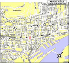
Montreal Tourist Map
941 miles away
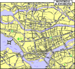
Montreal Tourist Map
941 miles away
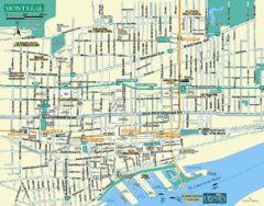
Montreal Tourist Map
941 miles away
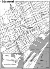
Montreal Tourist Map
941 miles away

