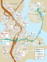
I-93 & I-90 Boston Map
Detail of exits and on-ramps for downtown Boston.
917 miles away
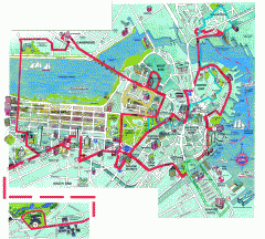
Boston 'Beantown Trolley' map
Tourist map of Boston, Mass. showing route of the Beantown Trolley, various points of interest and...
917 miles away
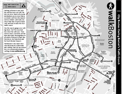
Walking Map of Boston, Massachusetts
Tourist map of Boston, Massachusetts, showing walking routes and times, as well as museums, squares...
917 miles away
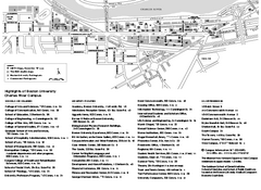
Boston University Charles River Campus Map
Campus map of Boston University. Charles River Campus. All areas shown.
917 miles away
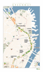
Rose Fitzgerald Kennedy Greenway Map
Boston's extensive heritage of parklands and common ground includes the Emerald Necklace...
917 miles away
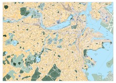
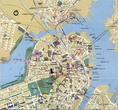
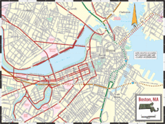
Boston, Massachusetts City Map
917 miles away
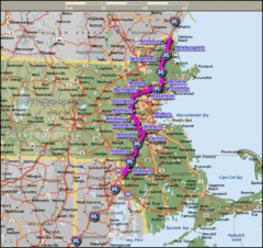
Interstate 95 Cities in Massachusetts Map
918 miles away
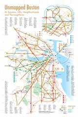
Boston Neighborhood Map
918 miles away
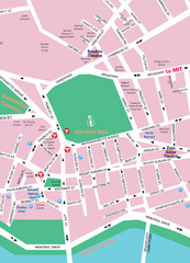
Boston Neighborhood Map
918 miles away
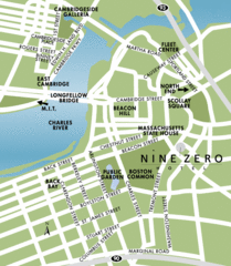
Central Boston Tourist Map
918 miles away
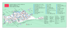
Boston University Medical Campus and Boston...
Boston University Medical Campus and Boston Medical Center area map. All buildings shown.
918 miles away
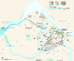
Lowell National Historical Park Official Map
Official NPS map of Lowell National Historical Park in Lowell, Massachusetts. Map shows all of...
918 miles away
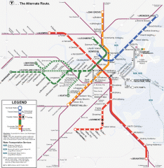
Boston Subway T Map
Massachusetts Bay Transportation Authority (MBTA) map of the Boston T subway system. Includes...
918 miles away
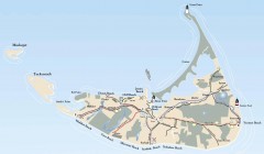
Tourist Map of Nantucket Island
Tourist map of Nantucket Island. Shows all towns and information.
918 miles away
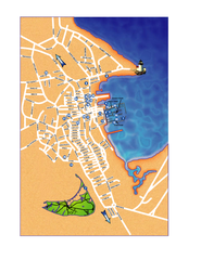
Nantucket Town Street Map
Tourist map of town of Nantucket on Nantucket Island. Shows major streets and points of interest...
918 miles away
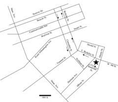
Rotch Field Location Map
Directions to Rotch Playing Field in Boston Common.
918 miles away
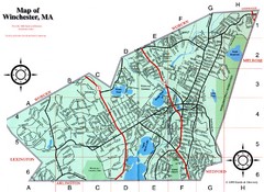
Winchester Town Map
919 miles away
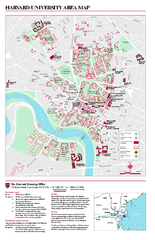
Harvard University campus map
Harvard University campus map
919 miles away
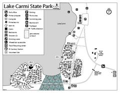
Lake Carmi State Park Campground Map
Capground of Lake Carmi State Park in Vermont
919 miles away
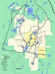
Myles Standish State Forest Winter trail map
Myles Standish State Forest winter use trail map.
919 miles away
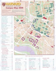
Harvard University Map
Campus map
919 miles away
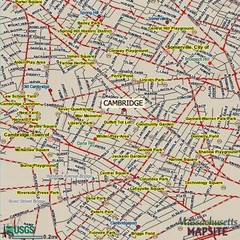
Cambridge, Massachusetts Map
920 miles away
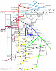
Cambridge Pub Map
920 miles away
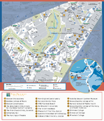
Fenway Cultural District Map
Map of the Fenway Cultural District. Shows schools, museums, libraries, and other cultural points...
920 miles away
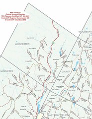
Worcester Town Map
Town map of Worcester, Vermont and surrounding areas
920 miles away
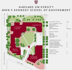
John F. Kennedy School of Government Campus Map
Campus map of the Harvard University John F. Kennedy School of Government in Cambridge...
920 miles away
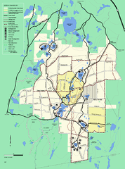
Myles Standish State Forest trail map
Summer trail map for Myles Standish State Forest.
920 miles away
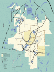
Myles Standish State Forest winter trail map
Winter activity map of all the trails and roads in Myles Standish State Park, MA. Cross country...
920 miles away
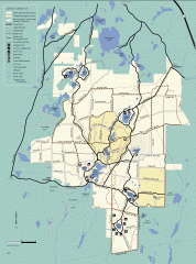
Myles Standish State Forest summer trail map
Map of all the trails and roads in Myles Standish State Park, MA. 15 miles of bicycle trails, 35...
920 miles away
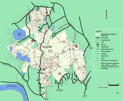
Lowell-Dracut-Tyngsboro State Forest trail map
Trail map for the Lowell-Dracut-Tyngsboro State Forest in Massachusetts
920 miles away
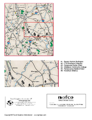
Greater Merrimack Valley, Massachusetts Map
Tourist map of greater Merrimack Valley, Massachusetts. Lodging, forests, and other points of...
920 miles away
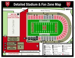
Harvard Stadium Map
Beautiful map of the horse-shoe shaped stadium of Harvard University.
920 miles away
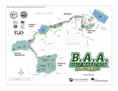
Boston Athletic Association Half Marathon Map
Guide to the Boston Half Marathon, organized by the Boston Athletic Association
920 miles away
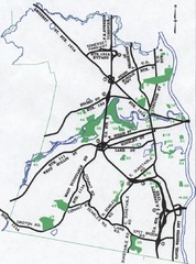
Nashua Parks Map
Map of Nashua, New Hampshire parks
921 miles away
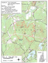
Merrimack Topo Map
A Topographical map Horse Hill Nature Preserve.
921 miles away
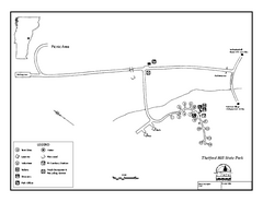
Thetford State Park Campground Map
Campground map for Thetford Hill State Park in Vermont
922 miles away
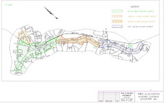
Town of Lexington Historic Districts Map
Identifies the 4 historical districts of Lexington, Massachusetts.
922 miles away

