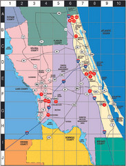
Western Florida County Map
Counties in Western Florida
859 miles away
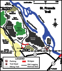
St. Francis Trail Map
The trail is located in Volusia county, about a mile from Deland. It is about an hour from Ocala.
859 miles away
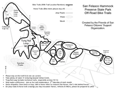
San Felasco Hammock Preserve State Park Bike...
Map of bike trails throughout preserve
860 miles away
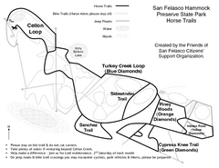
San Felasco Hammock Preserve State Park Horse...
Map of horse trails throughout preserve
860 miles away
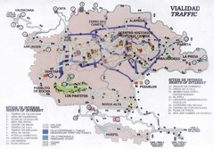
Guanajuato Mexico Tourist Map
Guanajuato City traffic map showing places of interest and traffic flow.
861 miles away
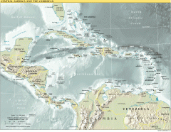
Overview map of Central America and the Caribbean
Shows the entire Caribbean region with names of islands/countries and major towns/cities.
861 miles away

Guantanamo Map
862 miles away
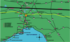
Tallahassee Freeway Map
Freeways and road leading to and from Tallahassee.
862 miles away
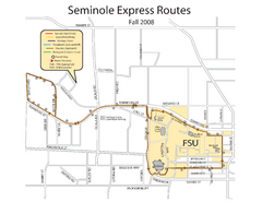
Florida State University Seminole Express Bus Map
863 miles away
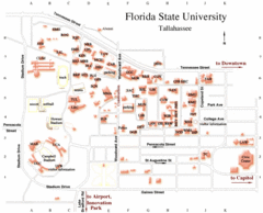
Florida State University Map
863 miles away
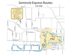
Seminole Express Bus Service Map
Bus route to Florida State University.
863 miles away
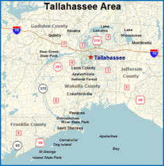
Tallahassee, Florida City Map
863 miles away
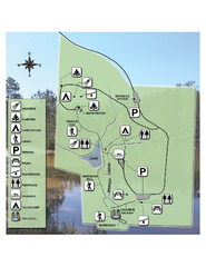
Falling Waters State Recreation Area Map
Map of park with detail of trails and recreation zones
863 miles away
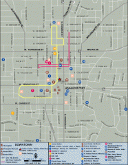
Downtown Tallahassee, Florida Map
Tourist map of downtown Tallahassee, Florida. Museums, government buildings and other points of...
863 miles away

Florida State University Map
Florida State University campus map. All buildings shown.
863 miles away
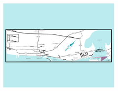
Goose Island, Texas State Park Map
864 miles away
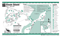
Goose Island, Texas State Park Facility and Trail...
864 miles away
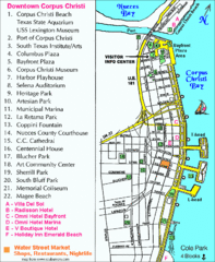
Downtown Corpus Christi Map
Tourist map of downtown Corpus Christi, with detail of local attractions
864 miles away
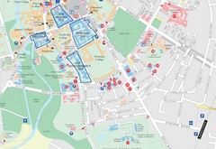
Corpus Christi, Texas Tourist Map
864 miles away

Corpus Christi, Texas Map
Tourist map of Corpus Christi, Texas, and the surrounding area. Shows museums, parks, marinas and...
864 miles away
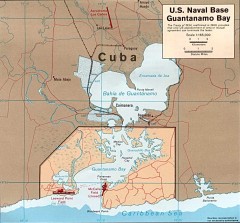
US Naval Base at Guantanamo Bay Map
Map of the area in Cuba that the US Navy leases, includes an airstrip and the Guantanamo Bay...
865 miles away
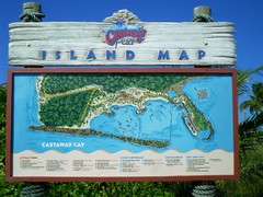
Castaway Cay Island Tourist Map
Tourist map of Disney's private Castaway Cay Island in the Bahamas. From photo of sign.
865 miles away
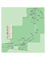
Ichetucknee Springs State Park Map
Map of park with detail of trails and recreation zones
866 miles away
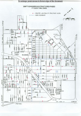
Empty Dangerous Structures Razed Map
flood zone elevation
867 miles away
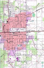
Atmore City Map
Topographical city map of Atmore, Alabama
867 miles away
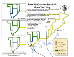
River Rise Preserve State Park Horse Trail Map
Map of horse trails throughout preserve
867 miles away
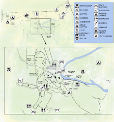
OLeno State Park Map
Map of park with detail of trails and recreation zones
867 miles away
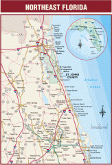
Northeast Florida Road map
A complete road map of the Northeast section of the state of Florida.
868 miles away
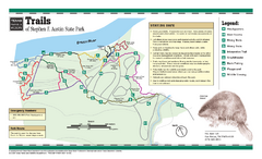
Stephen F. Austin, Texas State Park Trail Map
868 miles away
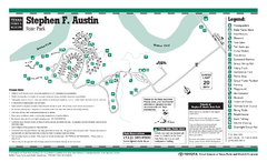
Stephen F. Austin, Texas State Park Facility Map
868 miles away
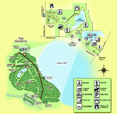
Alfred B. Maclay Gardens State Park Map
Map of park with detail of trails and recreation zones
869 miles away
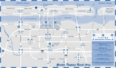
Dayton Beach Map
Map of greater Dayton Beach area
869 miles away
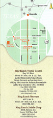
Kingsville Map
Map of Kingsville, with detail of main city-sites
870 miles away
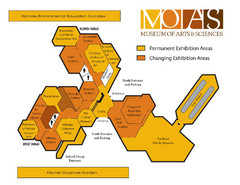
MOAS Museum Map
870 miles away

Lake Tallavana Parcel Map
Lake Tallavana Parcel Map
871 miles away
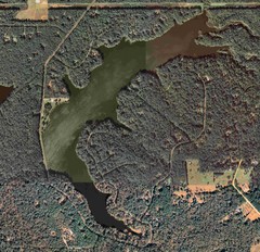
Lake Tallavana Map
Lake Tallavana aerial Map of the lake and surrounding areas.
871 miles away
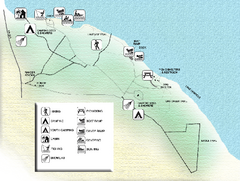
Three Rivers State Park Map
Map of park with detail of recreation zones
872 miles away
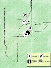
Letchworth-Love Mounds Map
Map of park with detail of trails and recreation zones
874 miles away
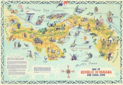
Panama Tourist Map
Tourist map of the Republic of Panama and the isthmus Canal Zone
876 miles away

