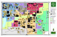
University of South Florida Map
760 miles away
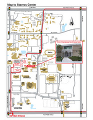
Gus A. Stavros Center Map
Campus map shows how to get to the Gus A. Stavros Center for Free Enterprise and Economic Education...
760 miles away
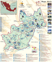
Sierra Gorda de Queretaro Tourist Map
Tourist map of Sierra Gorda de Querétaro, Mexico. Shows photos of points of interest. In...
761 miles away
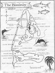
Map of the Bimini Islands in the Bahamas
Map of the Bimini Islands in the Bahamas.
765 miles away
Holiday Lake State Park Map
Easy to read state park map.
765 miles away
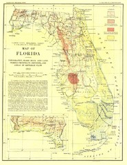
Topography of Florida Map
Topographic map of Florida that was developed in 1913. It shows the elevation changes that are...
766 miles away
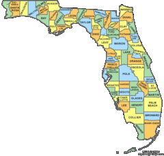
Florida Counties Map
766 miles away
Florida Zip Code Map
Check out this Zip code map and every other state and county zip code map zipcodeguy.com.
766 miles away
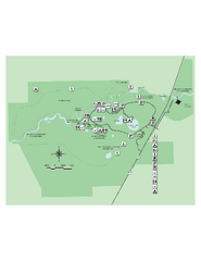
Hillsborough River State Park Map
Map of park with detail of trails and recreation zones
767 miles away
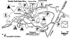
Hillsborough River State Park Map
767 miles away
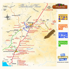
Wine Route Map
Map of various wine tour routes throughout Mexico
768 miles away
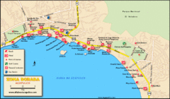
Zona Dorada Acapulco Map
Tourist site map of Zona Dorada area of Acapulco
770 miles away
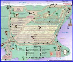
Isla Blanca Beach Park Map
Map of Isla Blanca Beach Park. Shows RV hookups and spots.
771 miles away
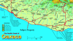
PUerto Escondido, Mexico Tourist Map
771 miles away
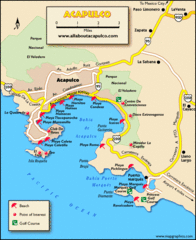
Acapulco Tourist Map
771 miles away
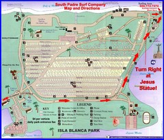
Isla Blanca Park Map
771 miles away

Bayamo Map
772 miles away
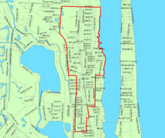
West Palm Beach, Florida City Map
773 miles away
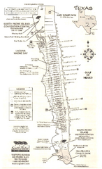
South Padre Island Map
Tourist map of South Padre Island
773 miles away
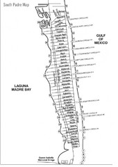
South Padre Island Street Map
773 miles away
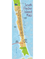
South Padre Island Map
Street map of South Padre Island, Texas. Shows beach names.
773 miles away
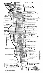
South Padre Island Street Map
Map of Jim's Beach Service of South Padre Island, Texas
773 miles away
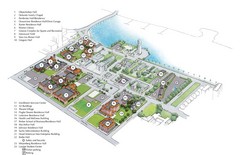
Palm Beach Atlantic University Map
Campus map
774 miles away
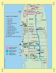
Palm Beach Tourist Map
774 miles away
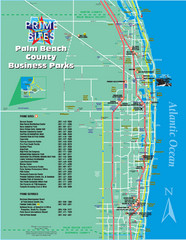
Palm Beach Tourist Map
774 miles away
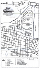
Matamoros Map
City map of Matamoros, Mexico.
778 miles away

Port Antonio road Map
779 miles away
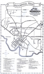
Brownsville Tourist Map
Tourist map of Brownsville, Texas. Shows points of interest.
779 miles away
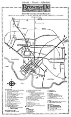
Brownsville Tourist Map
Tourist map of Brownsville with detail of local attractions
780 miles away
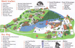
Weeki Wachee Springs State Park Map
Map of park
782 miles away

Birdwatching Areas in St. Lucie County Florida Map
Map shows Birdwatching Areas in St. Lucie County, Florida.
785 miles away
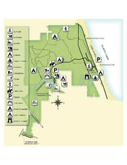
Jonathan Dickinson State Park Map
Map of park with detail of trails and recreation zones
785 miles away

Port St. Lucie , Florida City Map
790 miles away
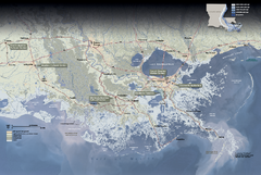
Jean Lafitte National Historical Park and...
Official NPS map of Jean Lafitte National Historical Park and Preserve in Louisiana. Map shows all...
792 miles away
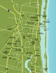
Port St. Lucie Map
Map of Port Saint Lucie.
792 miles away

"Bayamo - SantiagoDeCuba" Road Map
795 miles away
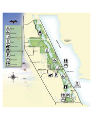
Savannas Preserve State Park Map
Map of park with detail of trails and recreation zones
795 miles away

New Orleans Magazine Street Map
Illustrated map by Michael A Hill for US Magazine - Lucky for shopping feature.
798 miles away
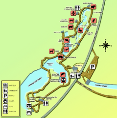
Homosassa Springs Wildlife State Park map
Map of park with detail of trails and recreation zones
799 miles away
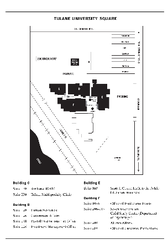
Uptown Square Map
799 miles away

