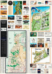
Mukilteo tourist map
Greater Mukilteo, Washington tourist map. Shows all businesses.
263 miles away
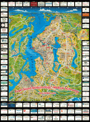
Puget Sound biotech map
Map of Puget Sound area biotechnology companies.
263 miles away
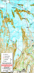
Mount Rainier Paradise Climbing Route map
Map shows all hiking and climbing routes originating from Paradise at 5,400 ft.
263 miles away
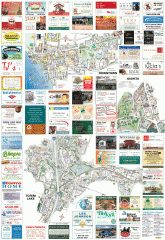
Kirkland tourist map
Kirkland, Washington tourist map. Shows all businesses.
264 miles away
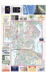
Bellevue tourist map
Tourist map of Bellevue, Washington. Shows all businesses.
264 miles away
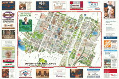
Tourist map of Downtown Bellevue
Tourist map of Downtown Bellevue, Washington. Shows all businesses.
264 miles away
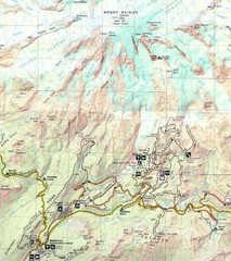
Pinnacle Saddle Trail Map
264 miles away
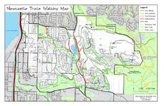
Newcastle Trails Trail Map
Trail map of existing and proposed trails in Newcastle, WA
264 miles away
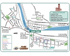
Ashcroft Map
Map of Ashcroft, includes all streets, highways, accommodations and attractions.
264 miles away
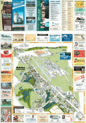
Mukilteo tourist map
Mukilteo, Washington tourist map. Shows all businesses.
264 miles away
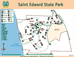
Saint Edward State Park Map
Map of park with detail of trails and recreation zones
265 miles away
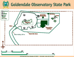
Goldendale State Park Map
Map of park with detail of trails and recreation zones
265 miles away
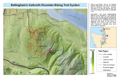
Bellingham Galbraith Mountain Biking Trail Map
Mountain biking trail map of Whatcom Falls Park near Bellingham, WA
265 miles away
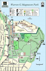
Warren G. Magnuson Park Map
Map of Warren G. Magnuson Park Warren G. Magnuson Park sits on a splendid mile-long stretch of...
266 miles away
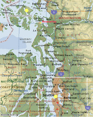
Washington State - West Coast Map
Washington State - West Coast Map
267 miles away
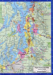
Seattle, Washington City Map
267 miles away
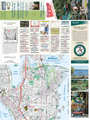
Greater Madison tourist map
Tourist map of Greater Madison, Washington. Shows all businesses.
268 miles away
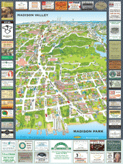
Madison Park tourist map
Tourist map of Madison Park, Washington. Shows all businesses.
268 miles away
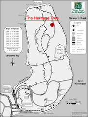
Seward Park Trails Map
Map of the trails in Seward Park, a 300-acre park on a peninsula in the south Seattle, WA area.
268 miles away
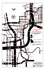
Renton WA Traffic Flow Map
City of Renton, WA traffic flow map
268 miles away
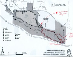
Lake Padden Park Trails Map
Course Elevation Map noted in handwriting on map. Festival location noted as well.
268 miles away

Washington Park Arboretum Trail Map
Trail map of Washington Park Arboretum in Seattle.
268 miles away
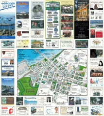
Downtown Edmonds tourist map
Tourist map of Downtown Edmonds, Washington. Shows all businesses.
268 miles away
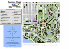
University of Washington map
268 miles away
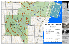
Frink Park and Leschi Park Map
269 miles away
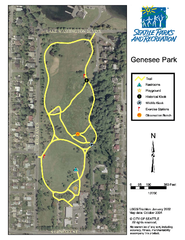
Genesee Park Trail Map
Trail map of Genesee Park in Mt Baker, Seattle, WA
269 miles away
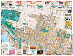
Capitol Hill tourist map
Tourist map of Capitol Hill in Seattle, Washington. Shows all businesses.
269 miles away
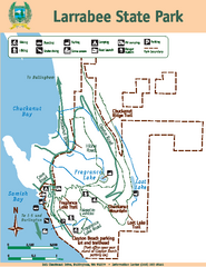
Larrabee State Park Map
Map of island with detail of trails and recreation zones
269 miles away
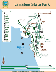
Larrabee State Park Map
Map of island with detail of trails and recreation zones
269 miles away
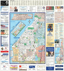
Edmonds tourist map
Tourist map of Edmonds, Washington. Shows all businesses.
269 miles away
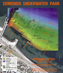
Edmonds Underwater Park Map
Map of underwater park for divers
270 miles away
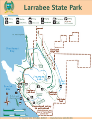
Larrabee State Park Map
Park map of Larrabee State Park, Washington.
270 miles away
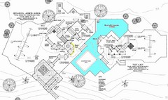
Lynden City Park Map
270 miles away
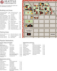
Seattle University Map
Campus Map
270 miles away
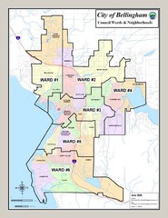
Bellingham Ward Map
Guide to wards in Bellingham, WA
270 miles away
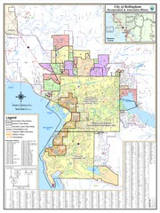
Bellingham, Washington City Map
270 miles away
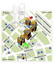
Municipal Court of Seattle Location Map
270 miles away
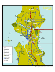
Neighborhoods of Seattle, Washington Map
Tourist map of Seattle, Washington, showing neighborhoods, parks, and scenic drives.
270 miles away
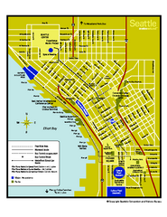
Downtown Seattle, Washington Map
Tourist map of downtown Seattle, Washington. Shows locations of Space Needle, Experience Music...
270 miles away
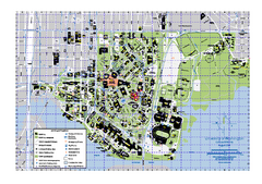
University of Washington - Seattle Campus Map
Campus Map of the University of Washington - Seattle Campus. All buildings shown.
270 miles away

