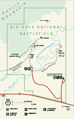
Big Hole National Battlefield Official Map
Official NPS map of Big Hole National Battlefield in Montana. Big Hole National Battlefield is...
235 miles away
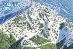
Brundage Mountain Resort Lakeview Bowl Ski Trail...
Trail map from Brundage Mountain Resort, which provides downhill and terrain park skiing. It has 5...
235 miles away
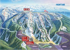
Brundage Mountain Resort Frontside Ski Trail Map
Trail map from Brundage Mountain Resort, which provides downhill and terrain park skiing. It has 5...
235 miles away
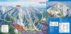
Brundage Ski Trail Map
Official ski trail map of Brundage ski area from the 2007-2008 season.
235 miles away
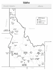
Idaho Airports Map
235 miles away
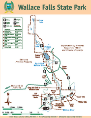
Wallace Falls State Park Map
Map of park with detail of trails and recreation zones
236 miles away
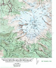
Mt. Baker Topo Map
Topo map of Mt. Baker, Washington, elevation 10,778ft.
240 miles away
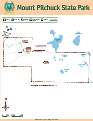
Mount Pilchuck State Park Map
Map of park with detail of trails and recreation zones
240 miles away
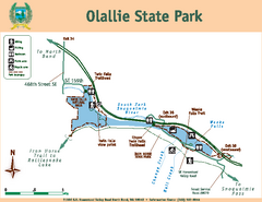
Olallie State Park Map
Map of park with detail of trails and recreation zones
243 miles away
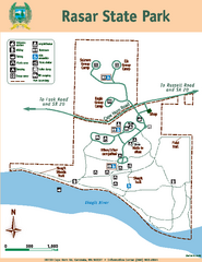
Rasar State Park Map
Map of park with detail of trails and recreation zones
243 miles away
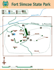
Fort Simcoe State Park Map
Map of park with detail of trails and recreation zones
244 miles away
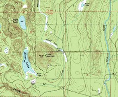
Fuller Mountain Topo Map
Fuller Mountain map with lakes, mountains and elevations identified.
244 miles away

Helena, Montana City Map
248 miles away
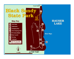
Black Sandy State Park Map
Simple but clear map of State Park.
248 miles away
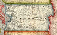
Snohomish County Washington, 1909 Map
248 miles away
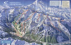
Crystal Mountain Resort Ski Trail Map
Trail map from Crystal Mountain Resort, which provides downhill skiing. It has 10 lifts servicing...
248 miles away
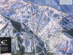
Crystal Mountain Resort Northway Inset Ski Trail...
Trail map from Crystal Mountain Resort, which provides downhill skiing. It has 10 lifts servicing...
248 miles away
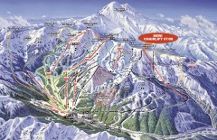
Crystal Mountain Ski Trail Map
Official ski trail map of Crystal Mountain ski area from the 2007-2008 season. 2600 acres of...
248 miles away
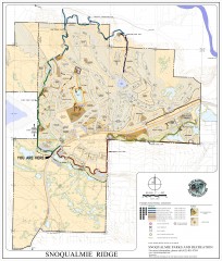
Snoqualmie Trail Map
Shows both soft surface and paved trails for biking, running/hiking/wailking, and horseback riding
249 miles away
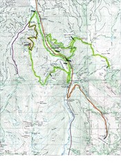
White River 50 Course Map
White River 50 Mile Trail Run
250 miles away
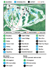
Anthony Lakes Mountain Resort Ski Trail Map
Trail map from Anthony Lakes Mountain Resort.
250 miles away
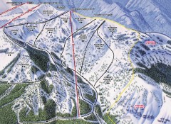
Crystal Mountain Ski Trail Map - Northway Area
Official ski trail map of the Northway area of Crystal Mountain ski area from the 2007-2008 season...
250 miles away

Centennial Trail Map
252 miles away
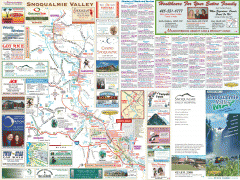
Snoqualmie Valley tourist map
Tourist map of the Snoqualmie Valley, Washington. Shows all businesses.
252 miles away
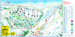
Hemlock Resort Ski Trail Map
Trail map from Hemlock Resort, which provides downhill and terrain park skiing. It has 4 lifts...
252 miles away

Centennial Trail Map
Centennial Trail has 23 miles completed (Snohomish to Bryant) with more in progress.
252 miles away
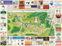
Snoqualmie tourist map
Snoqualmie, Washington tourist map. Shows all businesses.
253 miles away
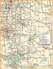
Southern Alberta Map
Shows highways, cities and towns, national/provincial parks and recreation areas, UNESCO World...
254 miles away
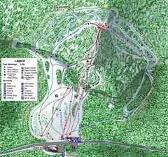
White Pass Ski Area Ski Trail Map
Trail map from White Pass Ski Area, which provides downhill, nordic, and terrain park skiing. It...
254 miles away
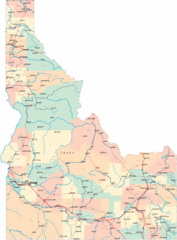
Idaho Road Map
254 miles away
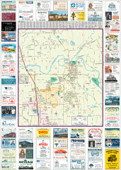
Arlington tourist map
Tourist map of Arlington, Washington. Shows all businesses.
254 miles away
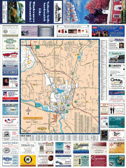
Snohomish tourst map
Tourist map of Snohomish, Washington. Shows all businesses.
255 miles away
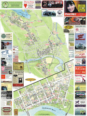
Snohomish tourist map
Snohomish, Washington tourist map. Shows all businesses.
255 miles away
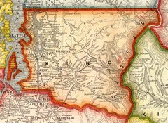
King County Washington, 1909 Map
256 miles away
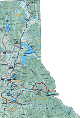
Northern Idaho Road Map
256 miles away
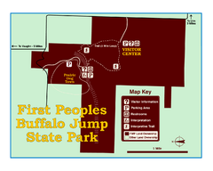
First People's Buffalo Jump State Park Map
A visitor center and interpretive trails tell the story of this prehistoric bison kill site, one of...
256 miles away
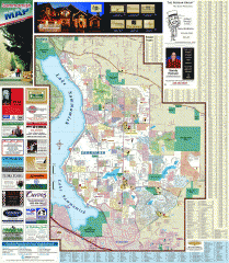
Sammamish tourist map
Tourist map of Sammamish, Washington. Shows all businesses.
257 miles away
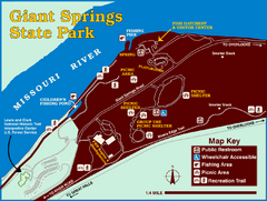
Giant Springs State Park Map
Set aside a whole afternoon to experience this scenic and historic freshwater springs site. First...
257 miles away
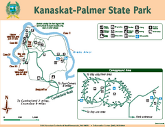
Kanaskat-Palmer State Park Map
Map of park with detail of trails and recreation zones
257 miles away

